- Where
- Township of Langley: from Fort Langley village west to Derby Reach Regional Park
- Length
- About 4 km each way from Fort Langley (Vancouver Trails). Metro Vancouver's brochure, quoted on our Derby Reach page, counts roughly 12 km and 4 hours for the full route there and back; the 2 km inside the park is its own stretch.
- Surface
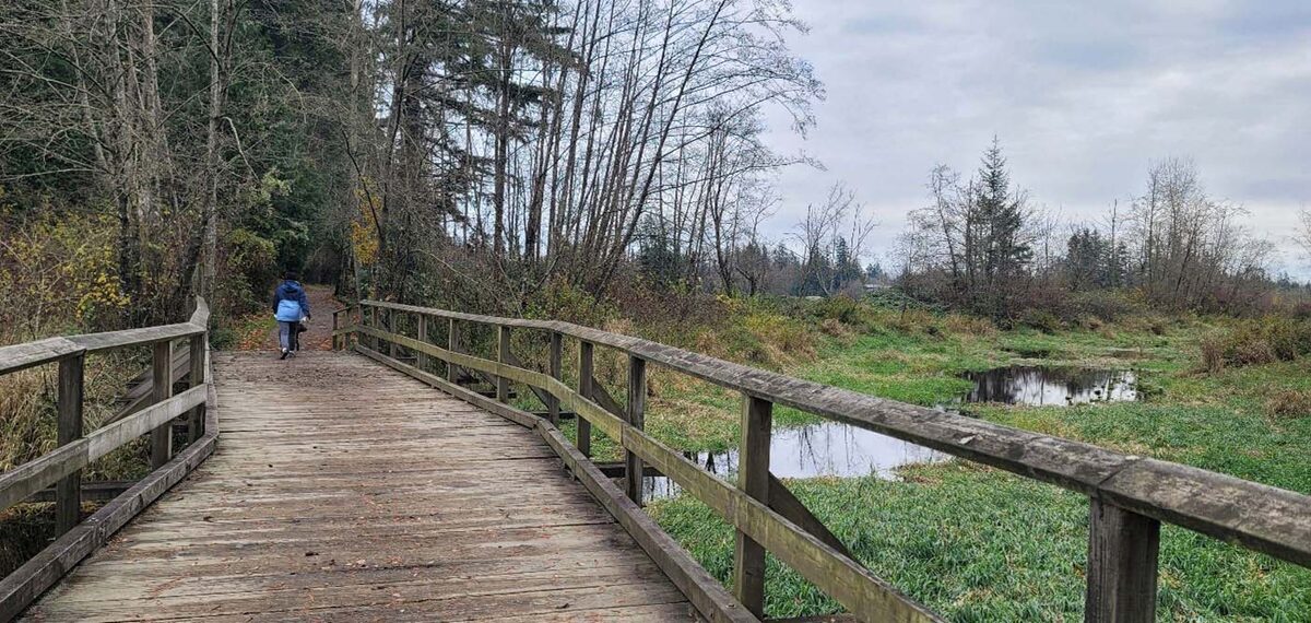
- Hard-packed trail and gravel, with some slopes up to 14 percent between the Historic Cairn and Fort Langley (Metro Vancouver)
- Dogs
- On a leash, and pick up after them (Vancouver Trails); Metro Vancouver asks that dogs are under control at all times and to follow the signs
- Cost
- No fee is listed for the trail
- Official page
- Metro Vancouver: Derby Reach. East Area Office for conditions: 604-530-4983
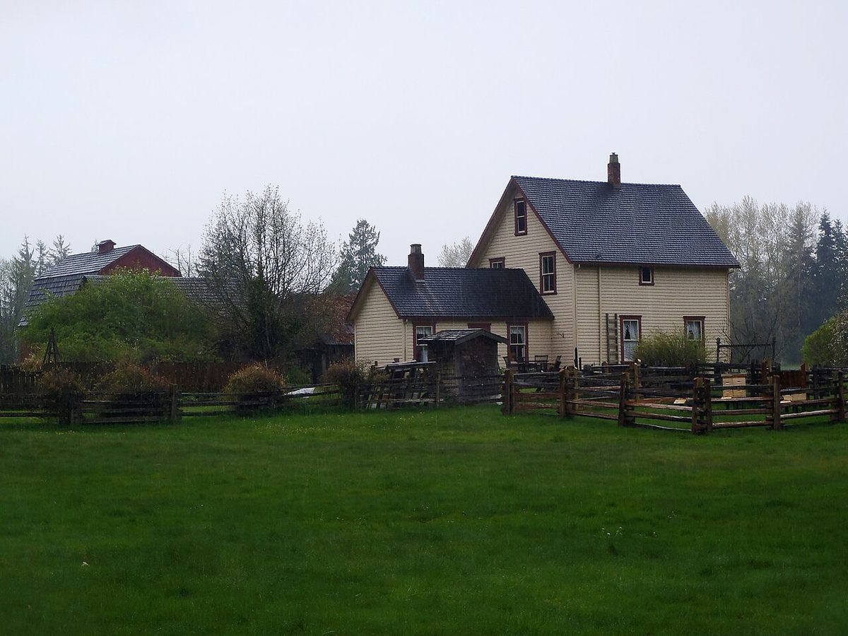
Two forts, one path. The Hudson’s Bay Company built the first Fort Langley at Derby Reach in 1827 and moved it to the present site in the village in 1839. The Fort-to-Fort Trail links the two, and it is the easiest long walk in the Township that never asks you to climb anything serious.
Walking it from the village
- Park at the Fort Langley National Historic Site lot, a couple of blocks from the village centre, or at the trailhead lot on Billy Brown Road (see the card below).
- From the museum, walk west on Mavis Avenue to Glover Road, cross the railway tracks and turn left onto Billy Brown Road.
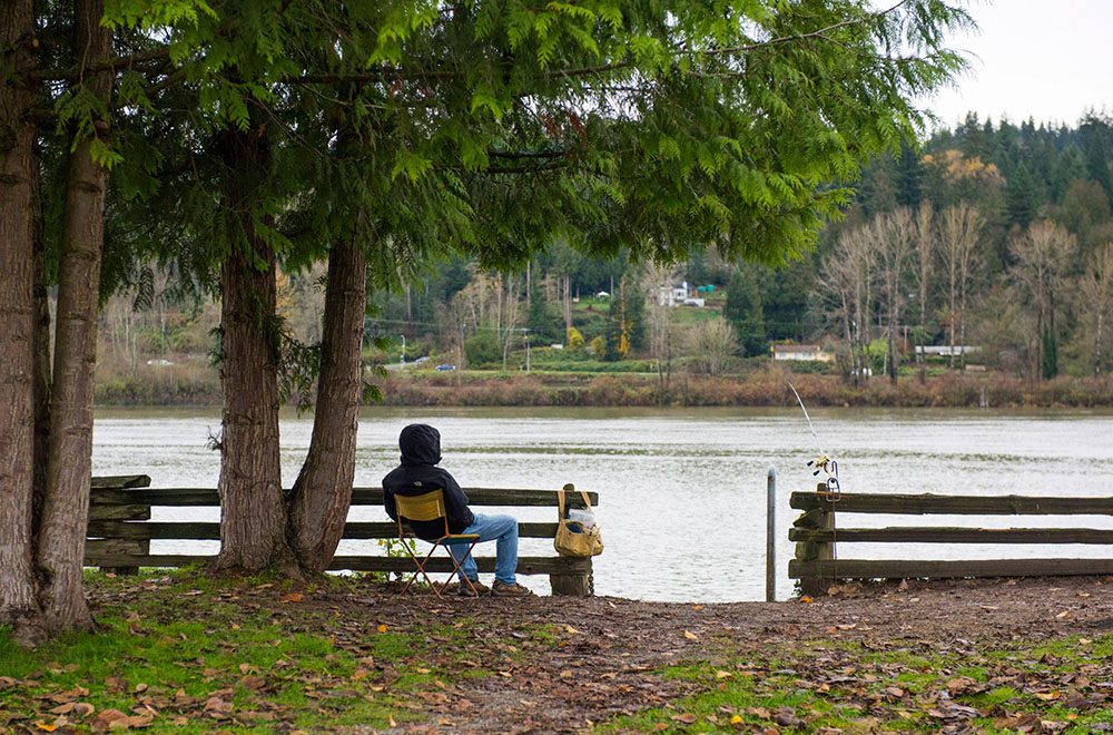
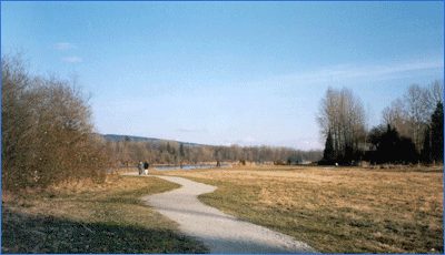
- Cross the road to the gravel trail along the Fraser. It passes several small wooden piers and a small channel, then runs behind the Fort Langley Golf Course.
- Past the golf course the route follows Allard Crescent beside open meadows and ends at the lot across from Derby Reach Regional Park.
That route description is Vancouver Trails’ write-up. It lists an outhouse at the end of the golf course, near where the trail meets the road, and says there is no real elevation to speak of.
At the Derby Reach end
You can turn around and walk back, or keep going. Metro Vancouver’s Derby Reach page shows the Fort-to-Fort Trail continuing to the Heritage Area with the cairn marking the first fort, and the same park holds the forested Houston Trail and the Edgewater Bar campground and off-leash area. Our Derby Reach page lays out the distances for each.
The route is also part of the Trans Canada Trail. Trails BC describes this stretch as mostly single-track with the Allard Crescent section on road, and notes that cyclists in Derby Reach follow the waterfront road while walkers can take the 0.88 km Edge Trail through the cottonwoods. It also says the trailhead is just past Allard Crescent, reached from 208 Street via 102B Avenue. Metro Vancouver lists Brae Island and Derby Reach as staging areas.
Before you go
- Allow time at the village end. Trails BC suggests the roughly 1 km Fort Langley heritage loop past the shops, restaurants and museums, and the interpretive panels at the Old Fort site. See our Fort Langley village guide and the national historic site.
- Park hours: Metro Vancouver posts the gate times at the park entrances and they shift through the year, so check the official page before an evening walk.
- Wildlife: Metro Vancouver notes bears, cougars and coyotes pass through the park from time to time.
- Other walks: the hikes and walks guide sorts every Langley trail by effort.
Get there
Last checked October 24, 2026. Something out of date? Tell us.
Last checked October 23, 2026. Spotted something out of date? Tell us.