- Where it starts
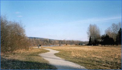
- 216 Street and 4 Avenue, at the south-east corner of Campbell Valley Regional Park. It runs east and ends at 264 Street in Aldergrove.
- Length
- About 11 km in the Township's and Horse Council BC's descriptions; the Aldergrove Star put the full route at "more than a dozen kilometres" in 2025
- Who can use it
- Walkers, cyclists and horse riders. No motorized vehicles.
- Run by
- The Township of Langley manages the trail. Metro Vancouver runs South Langley Regional Park, which the trail passes through.
- Park hours
- Seasonal, posted by Metro Vancouver (when we checked: 7 am to 7 pm until November 2, then 7 am to 6 pm from November 3 to December 31)
- Dogs
- On a leash
- Questions
- Metro Vancouver East Area Office, 604-530-4983. Township Park Operations, 604-532-7350, [email protected].
224 Street, just north of 4 Avenue, Langley, BCSouth Langley (Township)
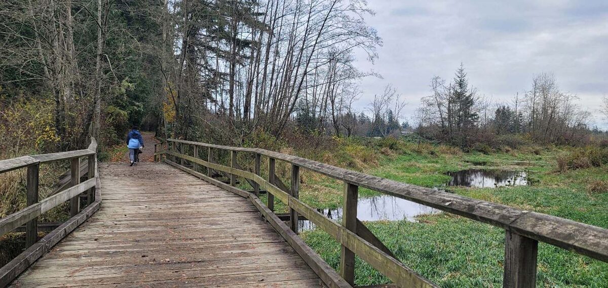
The easy way to learn this trail is to park at 224 Street and do the 1.2 km loop first. Metro Vancouver describes the Irene Pearce Trail as a forest loop, level for most of its length, on fine gravel one to two metres wide, with a few gentle small hills. The catch is the two entrances, which are short, steep slopes. The stretch from the parking lot to the loop’s entrance is flatter and also mostly gravel.
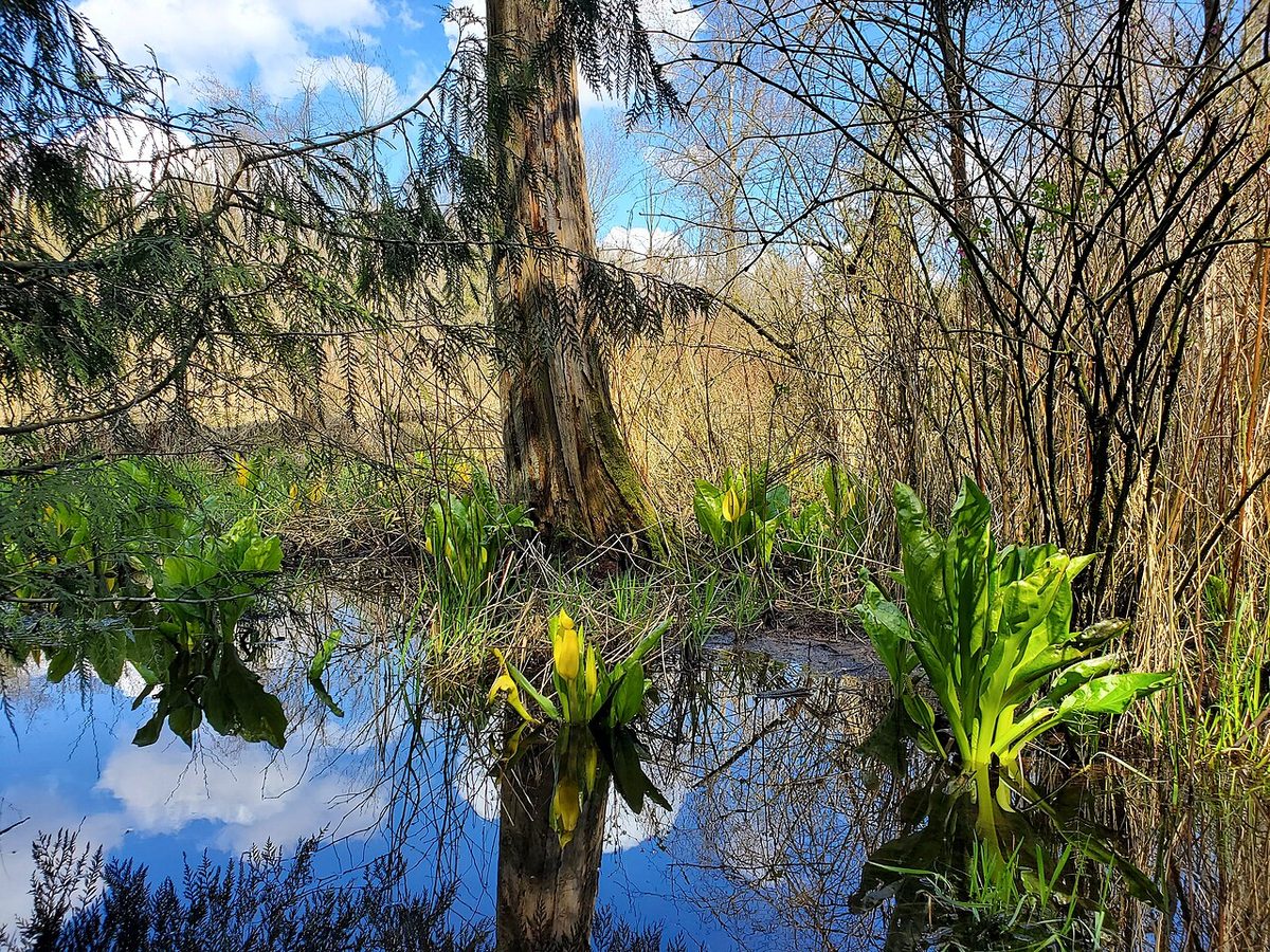
The loop is named for a champion of keeping this land natural, and it feels it: forest, wetland and wooden bridges over the creeks. Metro Vancouver notes that the wider park is home to a mix of wildlife, so leave the animals alone and take your garbage out.
Going further
Past the loop, the trail turns into a long, mostly quiet ribbon east. Here is how the route reads, west to east, drawing on the Township’s map and on the descriptions in the sources below:
- 216 Street and 4 Avenue to 224 Street. The start, beside Campbell Valley. This is also where the trail meets that park’s own network (see our Campbell Valley page).
- 224 Street to 232 Street. Off-road through mature forest. A 2014 Advance Times column described this as the best part, with the trailhead, washrooms, parking and picnic area at 224 Street.
- 232 Street east to 256 Street. A mix. Parts follow quiet rural roads (232 Street, 6 Avenue, 8 Avenue) and parts are off-road, including a stretch on an old road allowance east of 240 Street.
- 256 Street to 264 Street. The last stretch into Aldergrove, which the Horsemen’s volunteers helped build.
The trail crosses the Little Campbell River, Bertrand Creek and Perry Homestead Creek. Horse Council BC lists three good places to join it: the 224 Street lot (it has room for horse trailers), roadside parking at 8 Avenue and 248 Street, and the equestrian lot inside Campbell Valley Park, reached from 208 Street off 16 Avenue. Check the Township’s map before heading out: the road sections change from one block to the next.
A little further east is Aldergrove Regional Park. Metro Vancouver describes the trail as a route between that park and Campbell Valley. If you ride, Trails BC’s 63 km South Langley Cycle Loop takes in both parks and shares the 4 and 8 Avenue alignment with horse riders; the group calls it hilly and a challenge.
Sharing it with horses
This is a working equestrian route, and the rules are Metro Vancouver’s:
- Cyclists and pedestrians yield to riders.
- Slow down well before you reach a horse. They are prey animals and a sudden, fast approach can spook them and hurt the rider.
- Say something. Horses recognise human voices, so a hello tells the horse you’re a person, not a threat.
- Keep dogs leashed.
- No campfires, barbecues or cooking stoves anywhere in the park.
Cycling inside South Langley Regional Park is allowed only on the South Langley Regional Trail itself, not on the Irene Pearce loop.
How it got built
The trail is a good example of volunteers and a municipality working together. In 2013, members of the Back Country Horsemen of BC’s Aldergrove chapter added about 280 metres of new trail with Township supervision, logging 332.5 volunteer hours and bringing in a Horse Council BC grant plus donated gravel and equipment, according to the Aldergrove Star. More volunteers worked on the next section in 2014. A 2025 Star feature says the regional park along the route is being expanded, combining land from a Township park with a former private property.
If it floods
Winter rain can close sections. The Township has posted a flooding closure on the 8 Avenue stretch between 244 Street and 248 Street before (since reopened), so check the Township’s news page or call Park Operations if the weather has been wet.
Also see horse country in Langley and the Fort-to-Fort Trail.
Last checked: October 26, 2026. Something out of date? Tell us.
Last checked October 25, 2026. Spotted something out of date? Tell us.