Langley: 15 things only locals understand (and the real reasons why)
Two Langleys, addresses that work like map coordinates, a name that moved down the road, the One-Way, the Bypass and a capital that almost was: the local quirks, with the history that explains each one.
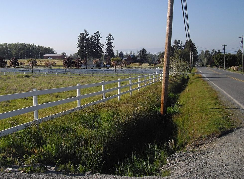
Somebody new moves here, asks for directions, and gets told: “Take the Bypass to the One-Way, it’s just past 204.” They nod. They have no idea. We’ve all been that person.
Here are fifteen things that make perfect sense once you live here and none at all before, each with the actual reason behind it.
1. “Which Langley?” is a real question
There are two. The Township of Langley was incorporated in 1873 and runs from the Fraser River to the US border, and from 196 Street to 276 Street. The City of Langley is a 10-square-kilometre downtown on its west edge, which split off on March 15, 1955 because, as the City’s own history puts it, the Township wouldn’t pay for the streetlights, sidewalks and sewers its busy commercial strip needed. The new city thought about a different name and kept “Langley” anyway.
So: two councils, two city halls, two garbage schedules. But one school district, which serves about 27,300 students across both. The full untangling is on our City vs. Township page.
2. Thomas Langley never came here
Both Langleys are named after a man who never set foot in North America. Thomas Langley was a director of the Hudson’s Bay Company in London, and James McMillan named the 1827 trading post after him. According to Langley City’s history, a loan from Langley helped keep the company afloat around 1809. He died in 1829 at his country house near the Thames, two years after the fort went up.
3. Your address is a map coordinate
Langley shares Surrey’s grid. Streets run north–south and their numbers climb as you go east. Avenues run east–west, starting at 0 Avenue on the border and counting up as you head north. The first digits of a house number tell you the cross street.
Take the Township’s own hall at 20338 65 Avenue: it’s on 65 Avenue, a little past 203 Street. On a Street address, the first two digits are the nearest Avenue instead. Once it clicks, you’ll never need the map app for a number again. Anything with a name, like Douglas Crescent, where City Hall sits, is the exception: the grid works around older roads.
4. 200 Street used to be five different roads
The Township switched to numbered roads in 1946. Before that, roads took the names of the families along them, and the Langley Heritage Society counts five different names on separate stretches of today’s 200 Street. One of them lives on: Carvolth was among the old names for a stretch of 200 Street, and the Carvolth bus exchange by the Highway 1 interchange honours Jack Carvolth, killed at Vimy in 1917. That interchange is also where your 5 pm goes to die.
5. Fraser Highway refuses to go in a straight line
Everything else is a tidy grid, and Fraser Highway slices across it on a diagonal. That’s because it’s older than the grid. It started as the Yale Road, the wagon road to the interior that the province began building in 1872. The Township’s heritage study says Yale Road was the Fraser Valley’s main east–west road until Highway 1 was finished in 1964. Settlements grew where it crossed other trails, which is why the old corners (Murrayville, downtown, Aldergrove) all line up along it.
6. “The One-Way” is a place, not a direction
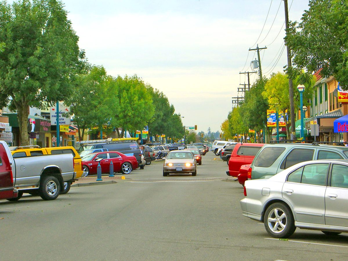
Downtown, Fraser Highway runs one way between 204 and 206 Street, and locals just call that block “the One-Way.” The City rebuilt it top to bottom, with new pipes underneath and wider sidewalks and trees on top, and reopened it on September 15, 2025. At $19 million, the City called it its biggest infrastructure investment since 2000.
7. “The Bypass” is older than most of the people driving it
The Langley Bypass opened in July 1966, according to newspaper reports from the time, to carry Highway 10 around the north side of downtown instead of through it. The eastern piece, from Glover Road over to Fraser Highway, followed in 1980. Sixty years on, it’s lined with shops, and Willowbrook Shopping Centre sits where it meets Fraser Highway. For our Shop Local listings, we count the Surrey-addressed businesses along it as Langley.
8. Langley Prairie moved down the road
This is our favourite one. According to the Township’s heritage study, the first post office called Langley Prairie opened in 1883 near Murray’s Corners. On May 16, 1911, that office was renamed Murrayville, and on the same day a new Langley Prairie post office opened in what is now downtown Langley City. The name had moved a few kilometres west. Then in 1955 the new city dropped “Prairie,” which the City’s history says sounded too rural for an up-and-coming place.
9. Murrayville has the grown-up stuff
Murray’s Corners was named for Paul Murray’s family, who had a quarter section on each corner of the crossroads. A century later it’s still what the Township calls its traditional civic core: Langley Memorial Hospital, the main RCMP detachment, the school district offices and the airport are all in or around Murrayville. In the 1920s its community hall doubled as the seat of Township government.
10. It’s Aldergrove, or Alder Grove, depending who you ask
The crossroads at today’s 264 Street was first called Shortreed’s Corners, after the brothers who ran the general store. The Township’s heritage study says a settler named George Bruskey suggested “Alder Grove” for all the alder trees, and the Alder Grove post office opened in 1885. The town became one word over time. The Alder Grove Heritage Society still uses two, so both are right.
11. British Columbia was almost run from Derby
Fort Langley calls itself the Birthplace of BC, and fair enough: the colony was proclaimed there in 1858. But the first fort, from 1827, stood a few kilometres downriver at what is now Derby Reach Regional Park. BC’s geographical names office records that Governor Douglas picked that spot, called Derby, as the new colony’s capital. Then Colonel Moody arrived in December 1858, didn’t like the site, and the capital went to New Westminster instead. Today it’s a nice place to walk the dog.
12. Kwantlen was a nation long before it was a university
The Kwantlen village on McMillan Island, across the channel from Fort Langley, was settled after 1838, when the nation moved there from Kanaka Creek on the north shore of the Fraser to be close to the fort. The government had renamed them the “Langley Indian Band”; in 1994 the nation formally took back the name Kwantlen. Kwantlen College, now KPU, got its name in a 1981 naming contest, and Grand Chief Joe Gabriel gave permission to use it. More on our Kwantlen First Nation page.
13. Langley’s “Vancouver” teams play in Langley
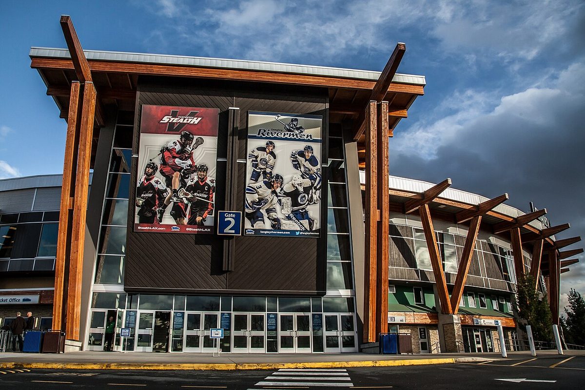
The Vancouver Giants moved to the Langley Events Centre for the 2016–17 WHL season. The LEC’s team list also includes the Vancouver Bandits and Vancouver FC. So when an out-of-towner asks where they play, the answer is “200 Street.” For now, anyway: the Giants announced in July 2026 that they plan to move to a new arena in Surrey City Centre when their LEC lease runs out in 2030. Here’s how a Giants family night works.
14. You still flinch at the Golden Ears Bridge
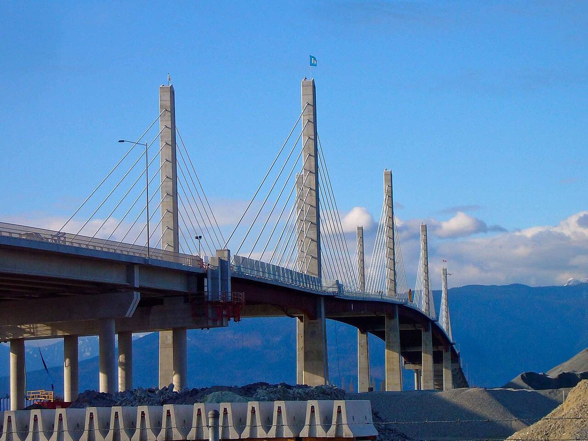
The bridge opened in June 2009 and replaced the little Albion Ferry, which had run from Maple Ridge to McMillan Island since 1957. For its first eight years it had a toll, and plenty of us got very good at doing the math on whether it was worth it. Tolls ended on September 1, 2017. Some of us still haven’t fully relaxed.
15. This winter, Lynden is an hour behind us
0 Avenue is a real road: the Township’s heritage study calls it the longest declared country road in the Township, and some stretches weren’t paved until the 1970s and '80s. Washington is just across the ditch. Since BC stopped changing its clocks this year, the Aldergrove crossing at the south end of 264 Street keeps US hours. From November 1 until March 14 it’s open 9 am to 1 am by our clocks, which is 8 am to midnight in Lynden. Our border crossings page and clock-change explainer have the details.
Bonus: “SkyTrain is coming”
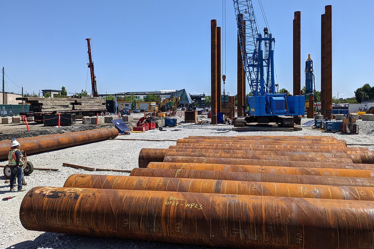
People have been saying it for years, and now it’s actually being built. The province says the Fraser Highway line will run 16 km to 203 Street in Langley City and be in service in late 2029. Until then, there are cones. Here’s what’s being built.
What did we miss? The road everyone calls by its old name, the shortcut, the thing you had to explain to your in-laws. Tell us and we’ll go find the reason behind it.