The best rainy-day walks in Langley (that won't swallow your boots)
Nine walks that hold up from November to February, sorted by surface, with the lots to park in, where the toilets are, the trails that flood, and the gate that locks at 6.
On January 12 this year the Advance Times ran a photo of the Nicomekl trails in Langley City under a sheet of brown water. That is the floodplain doing its job, and it will do it again this winter. So this is not our full list of Langley walks. It is the shorter list: the walks that are still walks after a week of rain, sorted by what is under your feet, with the lots to park in and the bits to avoid.
Two things to know before any of them. Metro Vancouver’s regional parks lock their gates at 7 pm until November 2, at 6 pm from November 3 to the end of December, and (going by last winter’s table) at 5 pm through January. And nobody publishes whether the toilets are open in winter, so go before you go.
Gravel and boardwalk: walk these in anything
Little River Loop, Campbell Valley
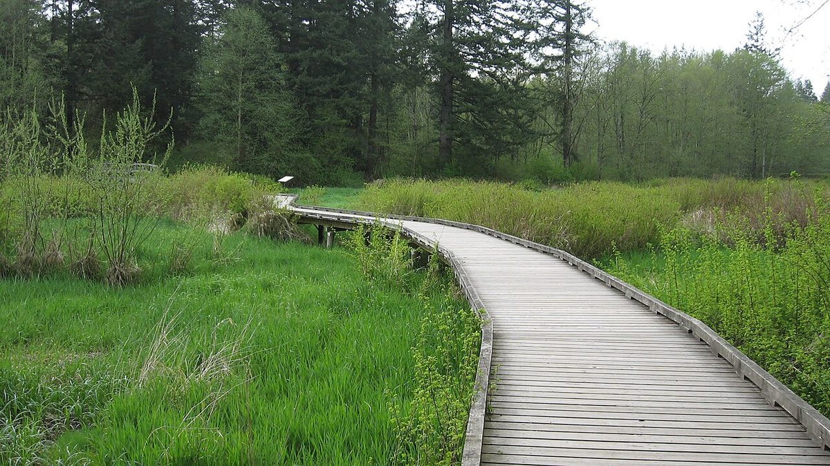
The surface is packed crushed rock, at least 1.7 metres wide, with a few short pitches of 6 to 8 percent and the rest nearly flat. The two river crossings are raised boardwalks, and the southern one is new this year: Metro Vancouver replaced about 200 metres of it, widened it to three metres and built it to stand a one-in-200-year flood. It reopened in May. The loop is 2.3 km and the 16 Avenue lot has toilets and drinking water. The Nature House beside it is closed until the May long weekend, so don’t plan around it. Our own walk-through of the loop has the lot-by-lot detail.
One current closure in the park: the area east of McLean Pond is fenced off for trail and parking-lot construction. It doesn’t touch the Little River Loop, but check the advisories page if you planned to wander.
Tavistock Point, Brae Island
Firm to semi-firm fine gravel, a minimum 2.5 metres wide, slopes under 5 percent, 2.1 km out to the point and the same back. There are several viewpoints with a single step up onto the platforms, and the shorter Tavistock Loop has an accessible boardwalk. Accessible washrooms sit beside the parking lot, which is the only lot. Two cautions from the park’s own brochure: log booms sit along parts of the shoreline, and the current is swift, so keep dogs and kids off the bank. Fort Camping next door stays open all year, so the gate traffic doesn’t stop in winter. More on the park: Brae Island.
Edge Trail and Edge Farm Trail, Derby Reach
Both are fine gravel. The Edge Trail at Edgewater Bar is 880 metres, at least 1.5 metres wide, with a couple of short 8 percent rises, and it is walkers only. The Edge Farm Trail from the Heritage Area is 1.6 km each way, semi-firm gravel, one gentle hill of about 7 percent, and runs past the old farm buildings with the river beside you. The campground is closed from November to February, which means you can use the empty campsites for a picnic, and there are accessible toilets at Edgewater Bar, Muench Bar and the Houston trailhead. More: Derby Reach.
The flat river stretch, Edgewater Bar to 208 Street
5.4 km return, flat the whole way, with open fields on one side and the Fraser on the other. Start at Edgewater Bar and turn around at the 208 Street road end; there is no lot at that end.
The short loops at Aldergrove Regional Park
If you want ten minutes rather than an hour, the loops around the Nature Discovery Area were built for exactly this. Woodpecker Loop is 530 metres, two metres wide, firm surface, under 5 percent. View Point Trail is 220 metres and firm, with a short 9 to 11 percent section. Marsh Loop is 700 metres, part firm and part semi-firm, with 180 metres of 9 to 11 percent. The 500-metre Nature Discovery Loop is the one place in the park where pets are not allowed. The women’s washroom at the main day-use area is accessible; the men’s has a narrow passage. More: Aldergrove Regional Park.
Noel Booth Community Park, Brookswood
The Township finished a $7.65 million rebuild of this park in April 2025, and the part that matters in November is the boring part: new subsurface drainage, new stormwater treatment, trail repairs and raised pedestrian bridges. The pond loop is a Township park, so it closes at dusk rather than at a posted hour, and there are washrooms, drinking water and a dog off-leash area on site. More: Brookswood Pond and Noel Booth Park.
Derek Doubleday Arboretum, Murrayville
A one-kilometre loop with view decks over the Nicomekl, gardens, a bridge and fitness equipment, with a lot off Fraser Highway and toilets on site. It is the east end of the City’s floodplain trail, so on a wet week walk the arboretum side and leave the floodplain for later.
Mixed surface: fine most days
Portage Park and the paved City trails
Portage Park is the main entrance to the Nicomekl floodplain system, its trails are paved, and it has washrooms and a lot off 204 Street. The City’s 2024 trail map marks which trails are paved and which are not, and the paved ones drain. The catch is below.
Sendall Gardens
Paved and unpaved paths through the City’s small botanical garden on 201A Street, with a gazebo and five picnic tables. The tropical greenhouse is closed from October 1 to April 1, so the winter visit is the trees, the creek and the Muckle Creek Trail, which is short enough that nobody minds.
Save these for a dry week
The Rotary Nicomekl Floodplain Trail. It is in the name. The City doesn’t publish a flood policy for it, but the January 12 photo is all the policy you need: after an atmospheric river the low sections are under water. Park at Portage Park and look before you commit.
Hi-Knoll Park, Surrey. The City of Surrey says it plainly: during the rainy season the whole area north of the Nicomekl bridge becomes inaccessible because of flooding. The southern, wooded half stays walkable.
Ravine Trail and Shaggy Mane, Campbell Valley. Metro Vancouver’s own brochure warns that the Ravine Trail boardwalks get slippery when wet, and the park page describes Shaggy Mane as 11 km with steep climbs and “some seasonal muddy sections”. The park’s cross-country horse course closes in very wet weather for the same reason.
Houston Trail, Derby Reach. Metro gives its grades (up to 23 percent) but not its surface. It is the best forest hike in Langley; it is also a dirt trail on a hill. Boots, and not the day after a storm.
Fort-to-Fort Trail. Closed for the Township’s Salmon River dike work, scheduled from July 27 to October 30, 2026, on the stretch from the west end of Bedford Landing past the golf course, with a detour through the subdivision and along McKinnon and Allard crescents. Check the Township’s project page before you assume it has reopened. When it has, the Metro section at the Derby Reach end is hard packed and holds up well. Our Fort-to-Fort page has the segment-by-segment detail.
Before you go
- Dogs stay on leash on every trail here, and Metro Vancouver asks you to keep them out of creeks, ponds and shorelines. Off-leash areas: 4 Avenue at Campbell Valley, Edgewater Bar at Derby Reach, Lefeuvre Road at Aldergrove. See our off-leash page.
- The regional parks open at 7 am (6 am at Glen Valley). Closing is posted at the gate and the gate really does lock.
- Parking is free at every lot above.
- Trail maps: Campbell Valley, Derby Reach, Brae Island, Aldergrove, City of Langley.
Found a trail we’ve called dry that wasn’t? Tell us and we’ll move it.