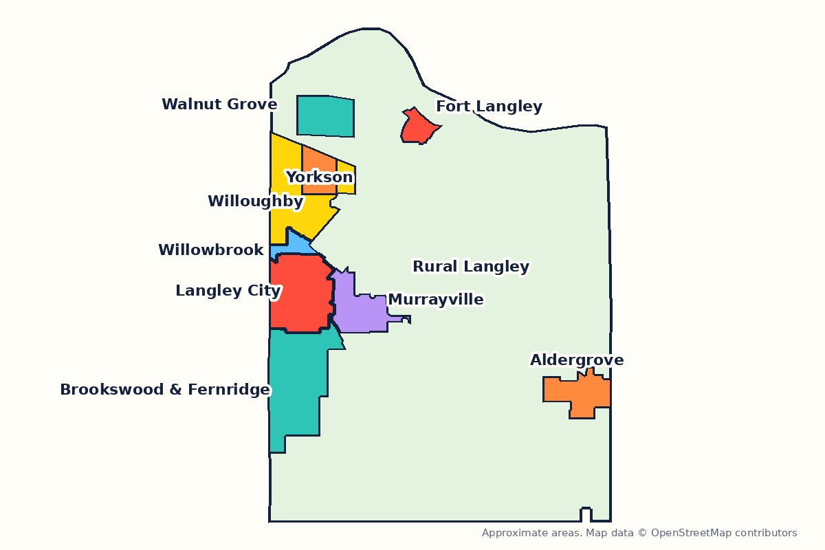
- Two municipalities
- The City of Langley (about 10 km²) and the Township of Langley (about 307 km²) are separate cities with their own councils, taxes and bylaws. Which one am I in?
- Population
- City: 28,963 and Township: 132,603 at the 2021 Census. Newer official estimates: about 35,300 (City, BC Stats, July 2024) and 154,100 (Township, 2025 annual report).
- SkyTrain
- Two Langley stations, Willowbrook and Langley City Centre, on the Surrey-Langley extension, projected to open in late 2029.
- School district
- One district for both: Langley School District (SD35). How schools work
Langley isn’t one place. You can choose between a five-storey condo next to a future SkyTrain station to a 1970s rancher on a half-acre under big cedars, a townhouse across the road from a brand-new middle school, or a hobby farm on a gravel road. Picking the right part of Langley matters as much as picking Langley.
This guide is built for that choice. Every community below has its own page with a map, quick facts and a sourced FAQ, plus deeper pages on buying, renting, schools, getting around, parks, shops and services and an honest pros and cons. We wrote them for people actually deciding where to live, so they include the things that matter after you move: school catchments that are about to change, which bus actually runs on Sundays, and where street parking runs out.
Pick a community
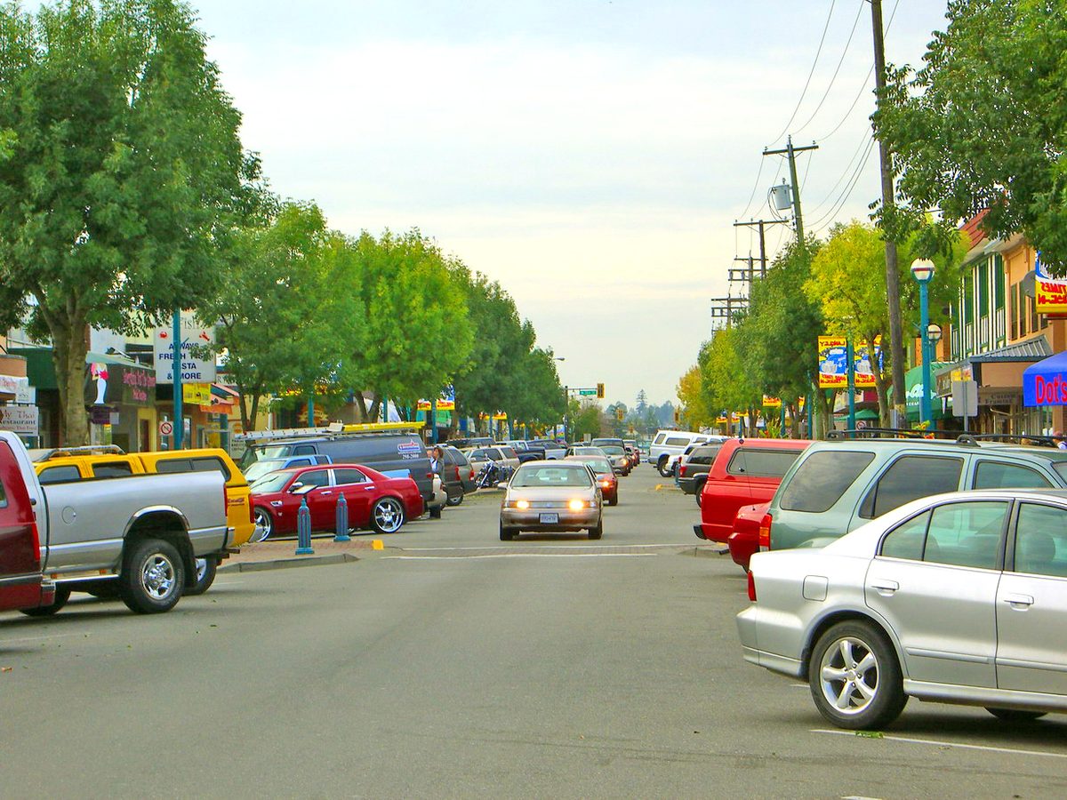 City of LangleyLangley City: the compact downtown, the most rentals, and two future SkyTrain stations nearby
 TownshipWilloughby: Langley's fastest-growing area, with new schools, parks and townhouses everywhere
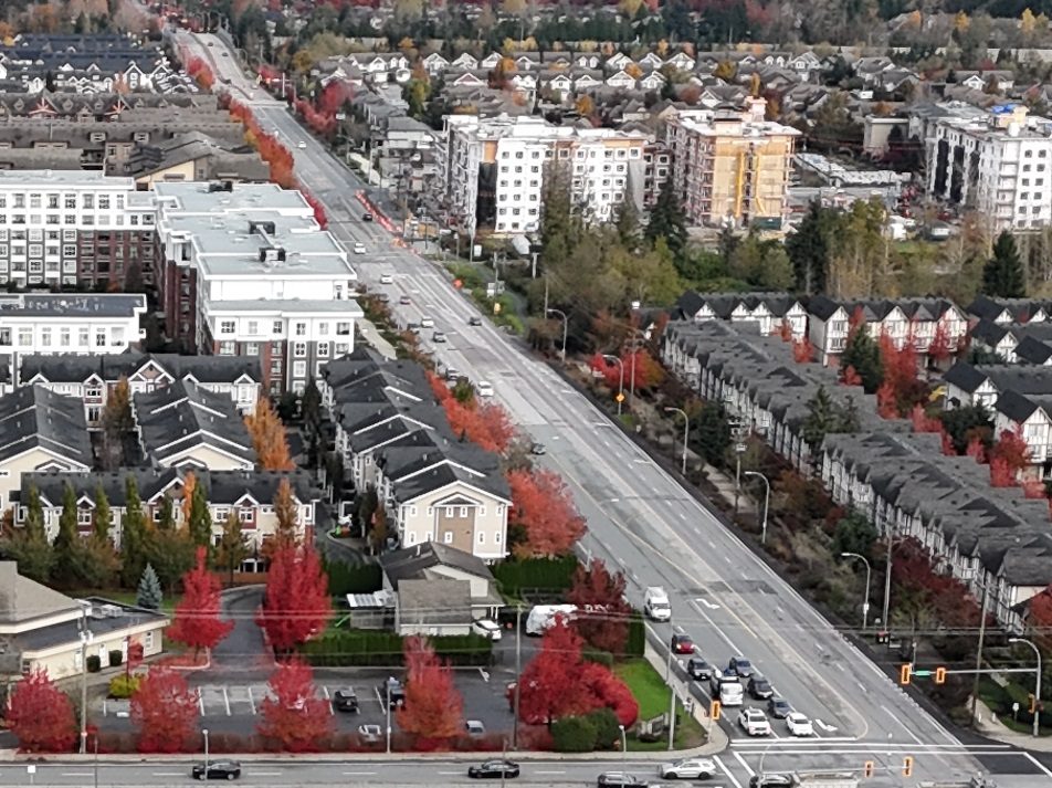 Township · in WilloughbyYorkson: Willoughby Town Centre, Yorkson Community Park and walkable shops
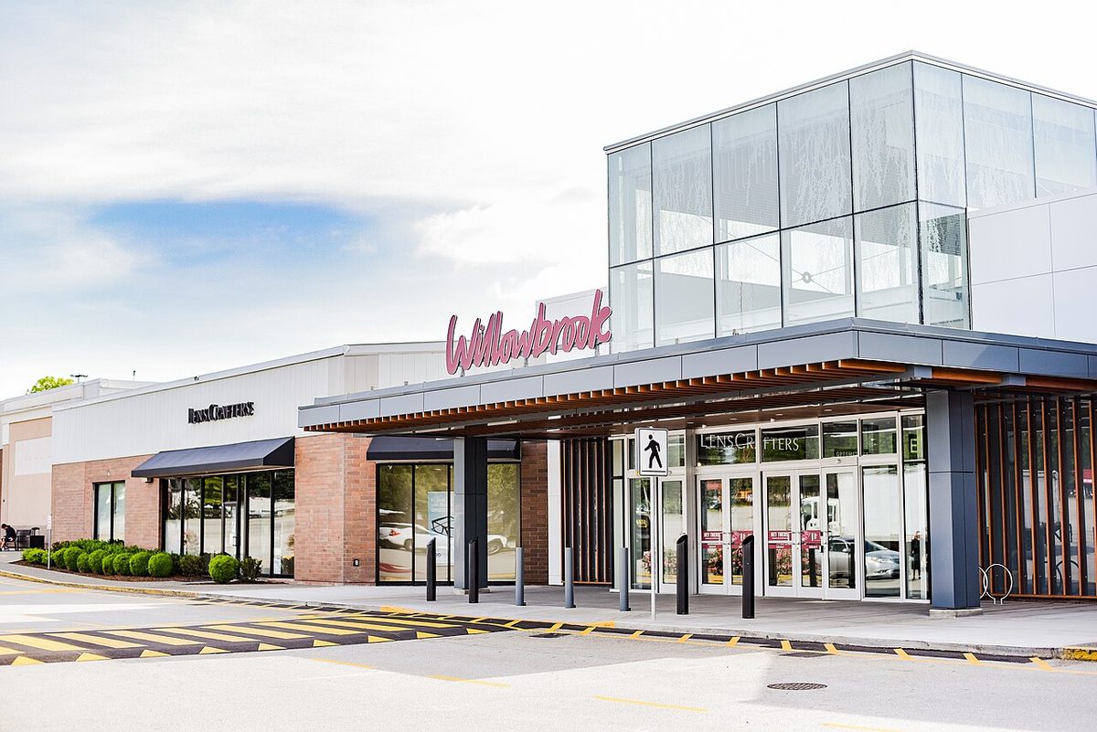 City + TownshipWillowbrook: living next to the mall, the bus exchange and a future SkyTrain station
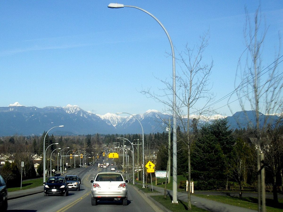 TownshipWalnut Grove: an established family suburb north of Highway 1
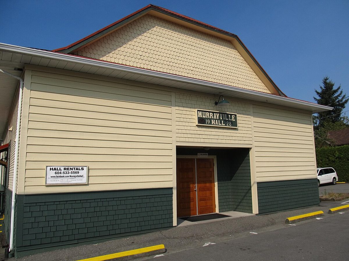 TownshipMurrayville: a historic village core, the hospital and settled streets
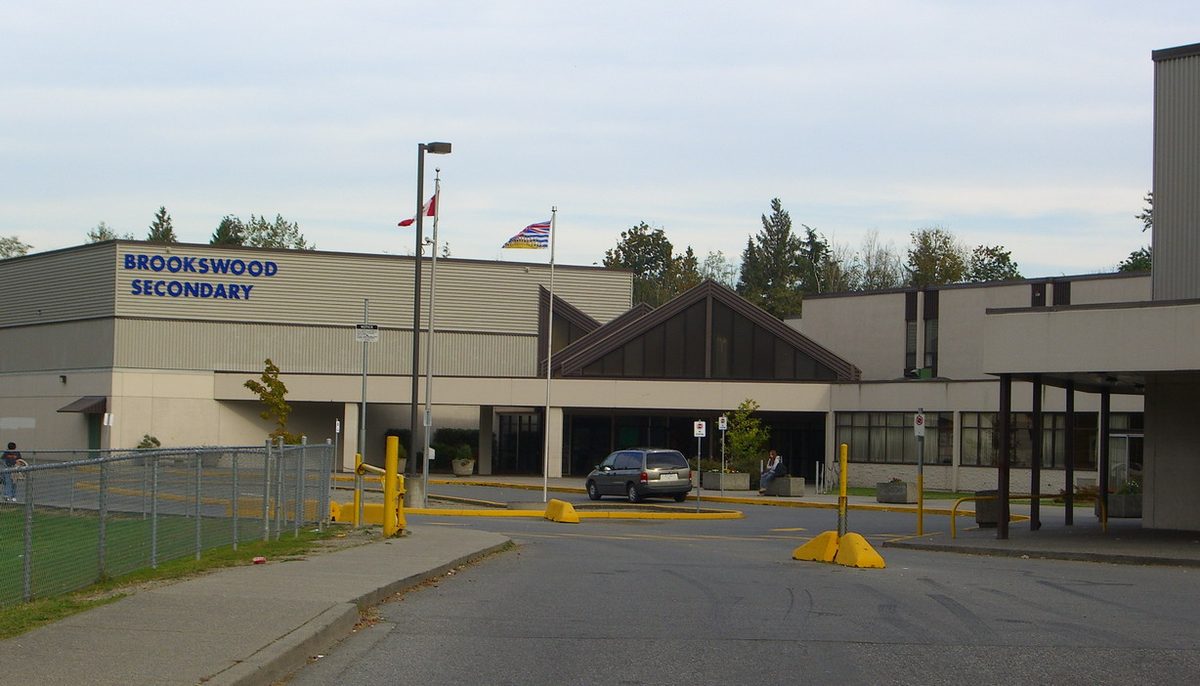 TownshipBrookswood & Fernridge: big lots, tall trees and a community plan in progress
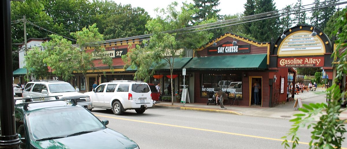 TownshipFort Langley: village life by the Fraser River, and the weekend crowds that come with it
 TownshipAldergrove: a small-town centre on Fraser Highway, next door to Abbotsford
 TownshipRural Langley: acreages, farms, horse country and the ALR
Langley’s communities side by side
A quick orientation before you dig in. It isn’t a ranking: the right answer depends on your commute, your kids’ ages and whether you’d rather walk to a grocery store or have room for a workshop.
| Community | Municipality | What it’s like | Typical homes | Transit today |
|---|---|---|---|---|
| Langley City | City | Compact downtown, older neighbourhoods, redevelopment | Apartments, townhouses, older detached | Langley Centre exchange; future City Centre SkyTrain station |
| Willoughby | Township | Several new neighbourhood centres, rapid growth | Townhouses, apartments, newer detached | 200 St and 208 St corridors; Carvolth Exchange |
| Yorkson | Township | Town centre, school-and-park clusters | Townhouses, apartments, detached | 208 St buses; 555 via Carvolth |
| Willowbrook | City and Township | Shopping and transit hub | Condos, townhouses | Major bus routes; future Willowbrook SkyTrain station |
| Walnut Grove | Township | Established suburb north of Highway 1 | Detached, townhouses, some apartments | Local routes; Carvolth connection |
| Murrayville | Township | Historic core, hospital, settled streets | Detached on suburban lots, some multi-family | Route 560 and Fraser Hwy connections |
| Brookswood & Fernridge | Township | Large treed lots in the north, changing south | Detached, with new forms planned | Routes 561/563, less frequent |
| Fort Langley | Township | Heritage village on the Fraser | Detached and village multi-family | Route 562; no SkyTrain station planned |
| Aldergrove | Township | Small-town core next to Abbotsford | Detached and apartments | 503 west; BC Transit 21 east |
| Rural Langley | Township | Farms, acreages, horse country | Acreages and farm properties | Limited; mostly drive |
Before you sign anything: look up the exact address, not just the neighbourhood name. Real-estate listings often use marketing names, and school catchments, floodplain maps and neighbourhood-plan designations follow property lines, not labels.
Langley-wide guides
The things that apply wherever you land:
- Moving to Langley: the newcomer checklist: utilities, garbage, ICBC, a family doctor and school registration in your first 30 days.
- Buying a home in Langley: market context, BC taxes and exemptions, and the Langley-specific checks (floodplain, ALR, suites).
- Renting in Langley: rents, where the rental buildings are, and your rights as a tenant.
- Langley schools explained: catchments, registration, French immersion and the new schools coming.
- Getting around Langley: buses, the SkyTrain extension, highways and real commute times.
- Parking rules in Langley: street limits, RVs and trailers, and how City and Township rules differ.
- Health care in Langley: the hospital, urgent care, walk-in clinics and finding a family doctor.
- Property tax and utilities: what you’ll pay and how to set things up.
- Safety in Langley: policing, crime statistics in context, floods, earthquakes and emergency alerts.
- City vs Township: which Langley you’re in, and why it matters.
Community card photos: Langley City and Brookswood, Themightyquill, CC BY-SA 2.5; Walnut Grove and Fort Langley, James.bc, CC BY-SA 3.0; Murrayville, Mwoodbc, CC BY-SA 3.0 (all via Wikimedia Commons); Willowbrook, AS at Willowbrook, CC BY-SA 4.0 (via Wikimedia Commons); Willoughby, Yorkson, Aldergrove and rural Langley, Township of Langley.
Questions people ask about living in Langley
Is Langley a good place to live?
Is Langley a city or a township?
Which Langley neighbourhood is best for families?
Where is the cheapest place to live in Langley?
When is SkyTrain coming to Langley?
How do I find out which school my child would attend?
Last checked October 29, 2026. Things change fast in a growing area: confirm anything important (catchments, rents, bus times) with the official source linked. Spotted something out of date? Tell us.