- Municipality
- Township of Langley, one neighbourhood inside Willoughby
- Boundaries
- Highway 1 (north), 212 St (east), 74B and 76 Ave (south, stepped), 203 and 204 St (west, stepped)
- Population
- About 23,100 (Township planning estimate, September 2025)
- Built out
- About 82% per the Township, so growth is slowing but not finished
- Shopping hubs
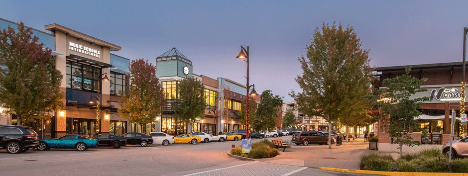
- Willoughby Town Centre (208 St and 80 Ave) and Yorkson Village (204 St and 80 Ave)
- Buses
- 595 along 208 St; the 555 express to Lougheed leaves from Carvolth Exchange
- Change coming
- New middle and secondary schools open September 2027, and several elementary catchments move
Ask where Yorkson starts and stops and you will get a different answer from the Township, the school district and a listing. This page sorts that out first, then covers what daily life looks like: where people shop, where kids go to school, where the ball fields are, and the handful of trade-offs worth knowing before you sign anything.
Where is Yorkson?
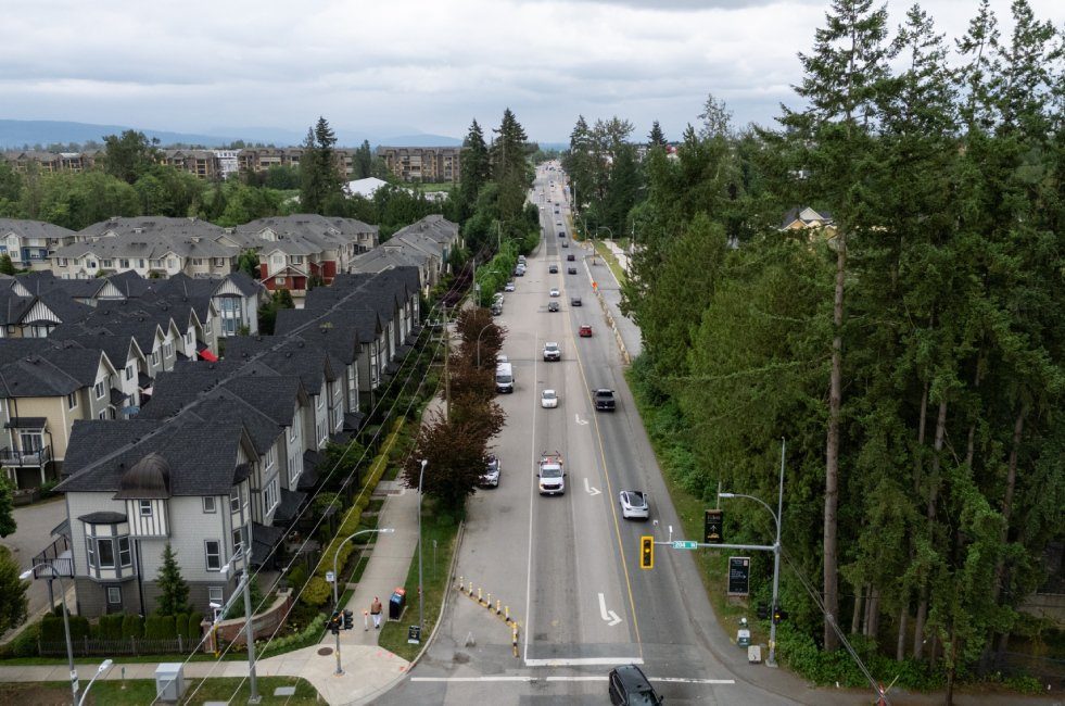
Yorkson is a neighbourhood in the Township of Langley’s Willoughby community, in the northwest corner of the Township. The Township’s neighbourhood plan puts Highway 1 on the north and 212 Street on the east. The south edge steps along 74B and 76 Avenues, and the west edge steps along 203 and 204 Streets. Across the highway is Walnut Grove (see our Walnut Grove guide). To the west are Carvolth and Latimer, to the south is Smith, where the new school campus is going up, and Williams lies east of 212 Street.
One recent change makes older maps misleading. On June 15, 2026 the Township adopted a new Willoughby plan and repealed several older neighbourhood plans, including Carvolth and Latimer. Yorkson’s own plan is still on the Township’s list. For the bigger picture see our Willoughby community page and the Willoughby guide.
How many people live here, and what are the homes like?
The Township’s September 2025 background report gives Yorkson 23,116 people and calls it about 82% built out. That second number is a planning measure. It doesn’t promise that 18% more homes or school seats are on the way, but it does say the neighbourhood is mostly finished and still filling in.
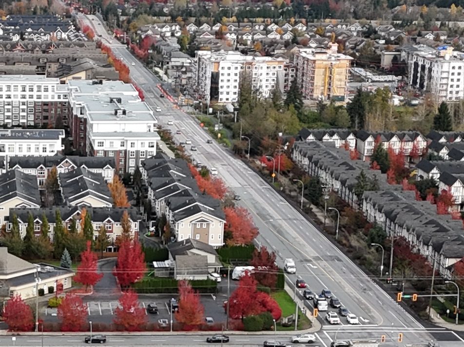
The housing is mixed: detached houses, townhouses, apartments and some mixed-use buildings. You can read the building eras in the names. Lakeside at Yorkson, a 35-home development, was finished in 2007. Yorkson Grove Apartments dates to 2014. New schools and park amenities opened in 2025 and 2026, and townhouse projects are still going up. For prices and projects see buying in Yorkson; for rents see renting in Yorkson.
Names you’ll see in listings
Most “Yorkson” names are project, shopping-centre or school names, not neighbourhoods. Here is what each one actually points to.
| Name | What it is |
|---|---|
| Yorkson | The Township’s neighbourhood plan area described above |
| Willoughby, Willoughby Heights, Willoughby Slope | The wider community. “Heights” shows up in property searches and “Slope” in school-district planning. Neither equals the Yorkson boundary |
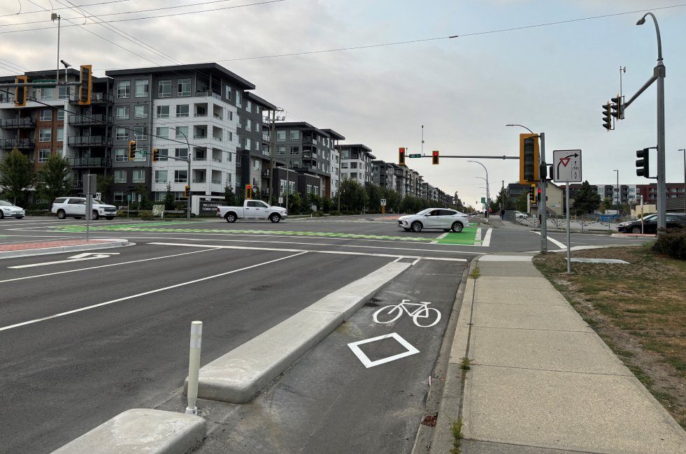
| Willoughby Town Centre | The shopping and mixed-use centre around 208 St, 80 Ave and Willoughby Town Centre Drive |
| Yorkson Village | A different shopping centre at 8045 204 St, on 80 Ave. Not the same place as the Town Centre |
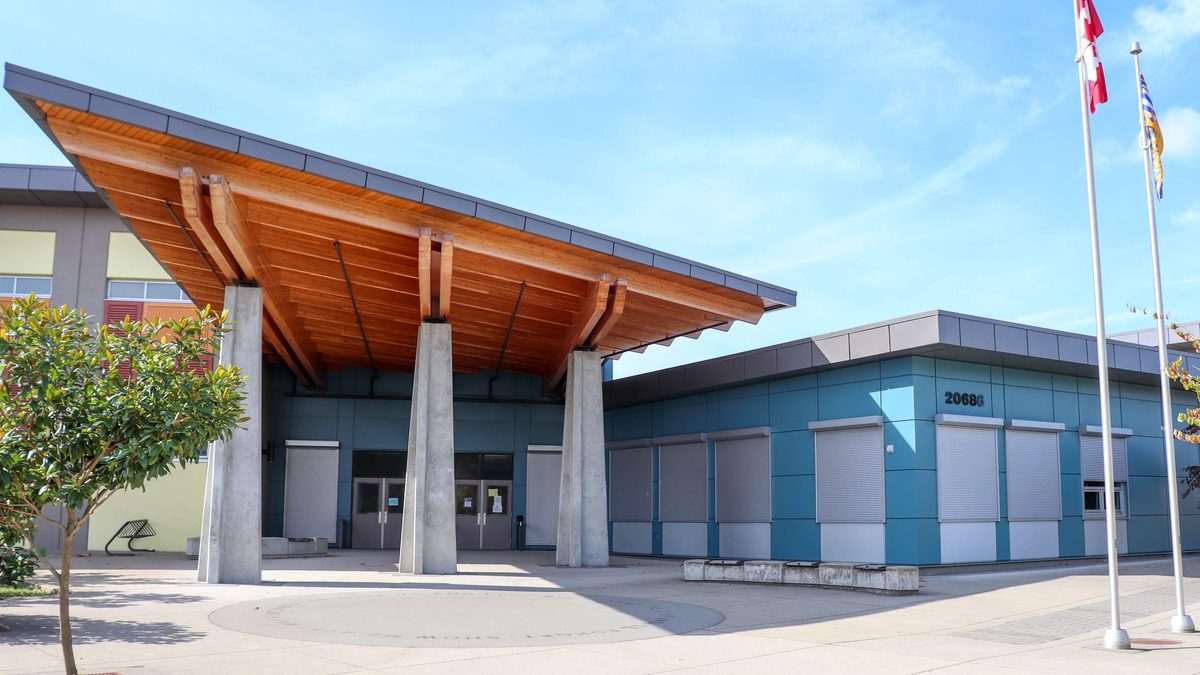
| Yorkson Creek | A creek, a middle school (20686 84 Ave) and the name of several townhouse and apartment developments around 207A St and 84 Ave |
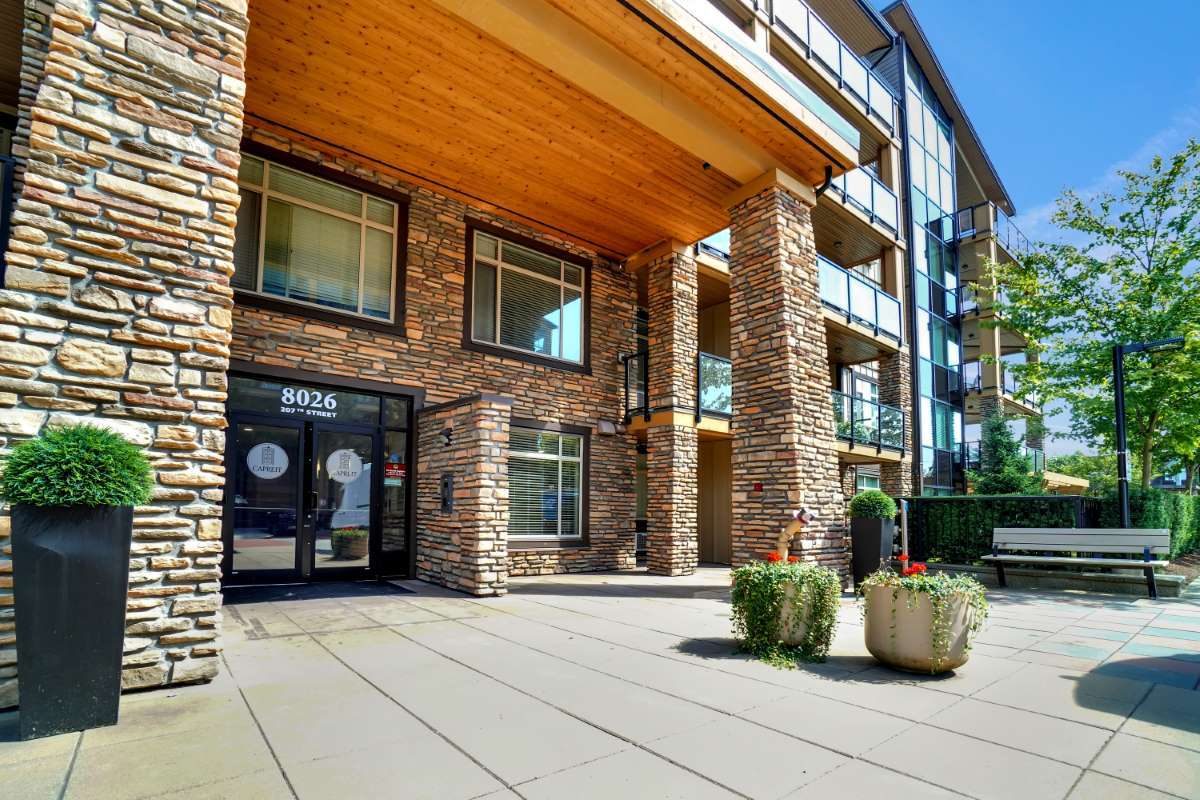
| Yorkson Creek South | A townhouse development at 8068 207 St |
| Yorkson Downs | An apartment project at Willoughby Town Centre |
| Yorkson Park (West, Central, East) | A condo and townhouse project near the west edge. It is not Yorkson Community Park, the municipal park at 84 Ave and 206 St |
| Union Park | An apartment development with private amenities. Not a public park |
| Yorkson Meadows, Townside Village, Saxon Park, Kinship | Individual housing projects (details on the buying page) |
| Northwest Yorkson | A name from a 2013 amendment to the Yorkson plan, not a separate neighbourhood |
| Southwest Yorkson Neighbourhood Park | The old name of Donna Gabriel Robins Park, 20581 78 Ave, finished in March 2025 |
| Yorkson North, Yorkson South, Parkside, Walnut Ridge | Marketing labels we could not tie to any municipal boundary |
If a listing leans on one of these names, ask for the street address and then check it on the Township’s GeoSource map and the school district’s catchment maps. The name alone won’t tell you the school, the park or the plan.
Four corners of Yorkson
These are our own shorthand, not official districts. They help because the neighbourhood doesn’t feel the same everywhere.
Town-centre area (208 St, 80 Ave). Grocery, pharmacy, banks, dentists and restaurants sit within one block, and Willoughby Walk, a six-storey rental building, is just south. This is the corner for errands on foot. Willoughby Elementary is at 20766 80 Ave, but living near a school doesn’t guarantee a place in it.
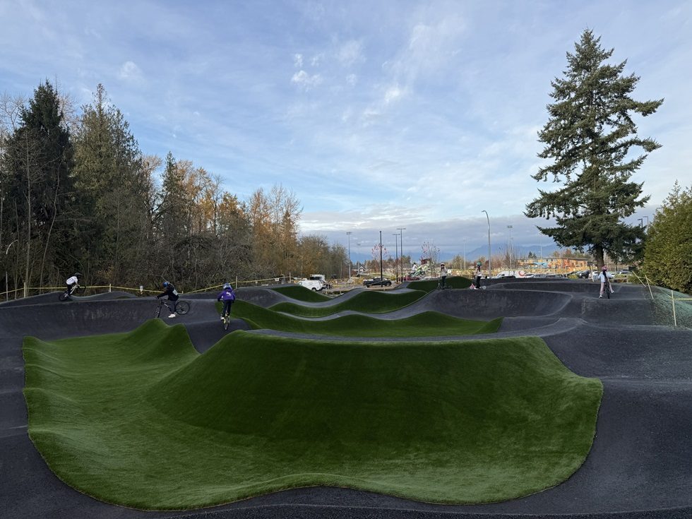
Park and creek area (206 to 208 St, 82 to 84 Ave). Yorkson Creek Middle School and Yorkson Community Park anchor it, with fields, a pump track and dog areas. Yorkson Meadows began construction here in 2026, so expect some building noise. The north edge is close to Highway 1, so visit a home there at different times of day.
Eastern Yorkson (east of 208 St toward 212 St). Lynn Fripps Elementary (21020 83 Ave) and Richard Bulpitt Elementary (20965 77A Ave) each have a park beside them. Treat them as two different catchments, not one.
Southwestern Yorkson (204 St, 78 to 80 Ave). Donna Gabriel Robins Elementary and its park are here, and Yorkson Village’s shops are a short walk north. The school’s catchment splits in two from September 2027 (see the schools page).
Day to day
Two shopping hubs do most of the work: the Town Centre for groceries, pharmacy and restaurants, and Yorkson Village for a natural-food market, a butcher, a clinic and childcare (shops and services). Yorkson Community Park is the big green space, with smaller school parks beside each elementary (parks). The 595 bus runs along 208 St about every 30 minutes; for the faster freeway bus you head to Carvolth Exchange (getting around). For swimming, Walnut Grove Community Centre across Highway 1 has the pool.
Who it suits
Good fits: families who will use school fields and a big park, people who want a grocery store and pharmacy close by, and commuters whose trip works through Carvolth. Harder fits: anyone who wants a swimming pool, library or hospital nearby, anyone dependent on late-evening buses, and people who dislike construction next door. There’s more in the pros and cons.
Good to know before you move
- School assignments are changing in September 2027. Check the exact address for both the current and the 2027 catchment.
- Street parking is first come, first served, and the Township has no resident-only parking program. Check what a unit actually includes.
- Some blocks still have active construction, both housing and road work.
- Highway 1 forms the north edge, and noise depends on the specific home.
- Moving from the city? Moving to Langley covers the practical steps.
Start here
- Buying a home in Yorkson
- Renting in Yorkson
- Yorkson schools and the 2027 changes
- Getting around Yorkson
- Parks and recreation
- Shops and services
- Pros and cons of living in Yorkson
Questions people ask about Yorkson
Is Yorkson a good place to live?
Is Yorkson in the City or the Township of Langley?
Are Yorkson and Willoughby the same place?
Where exactly are Yorkson's boundaries?
How many people live in Yorkson?
How far is Yorkson from Vancouver?
Is Yorkson safe?
What is Yorkson known for?
Is Yorkson mostly houses or condos?
Is Yorkson walkable?
Last checked October 29, 2026. Things change fast in a growing area: confirm anything important (catchments, rents, bus times) with the official source linked. Spotted something out of date? Tell us.