- Municipality
- Township of Langley (not Langley City). See City vs Township
- Population
- 27,797 in the Township’s ‘Rural Area’ (2025 Annual Report); 132,603 in the whole Township (2021 Census)
- Farmland
- About three-quarters of the Township is in the Agricultural Land Reserve (ALR)
- Transit
- A few corridors only: routes 562, 503, 556 (weekday peaks), 563; 566 is summer-only
- Services differ by address
- Wells, septic and private garbage collection are all possible. Check the Township rural waste page
- Check any property
- Township GeoSource map for zoning, ALR status and flood hazard
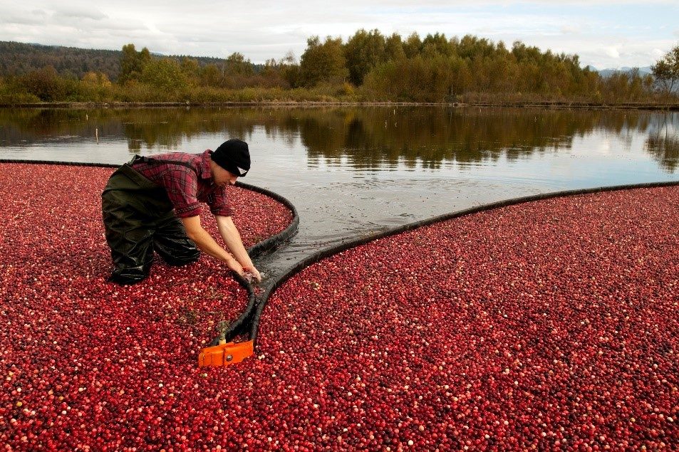
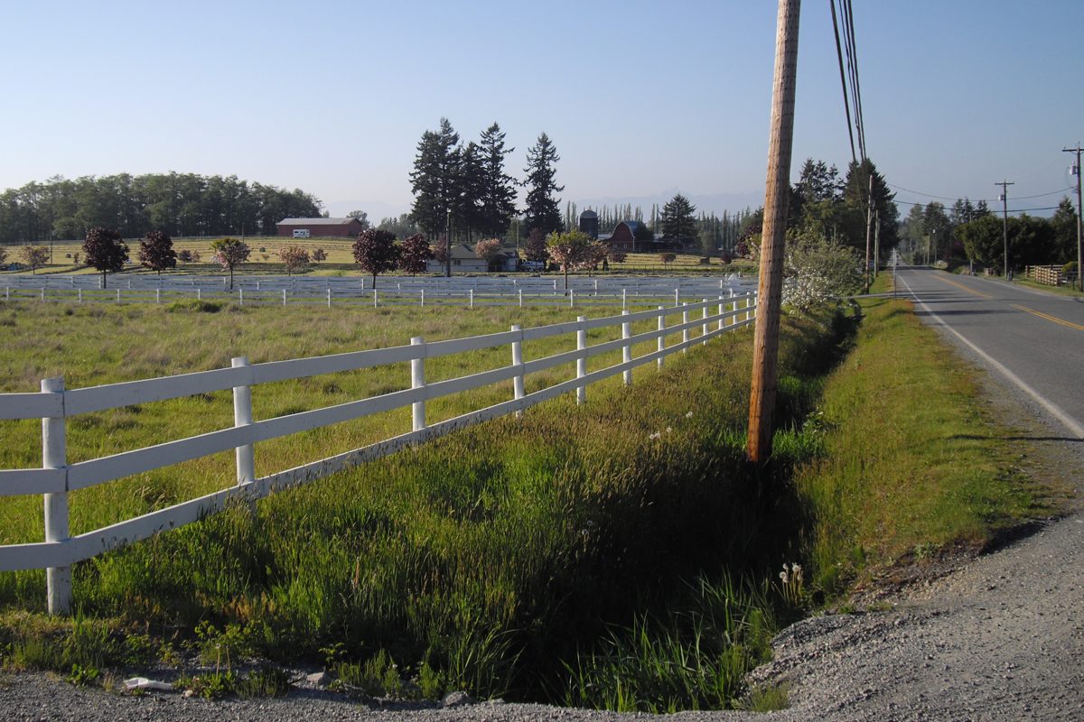
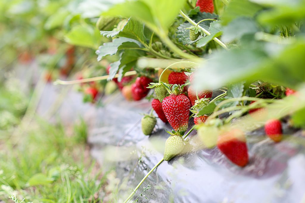
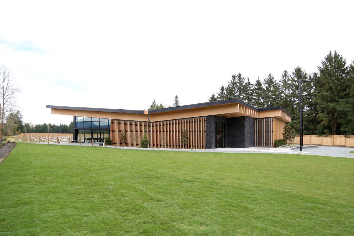
Pull up the Township’s map and the colour that dominates is not houses. It is farmland. Rural Langley is the part of the Township of Langley that sits around and between its towns: berry fields and dairy barns, horse properties, wineries, country-estate lots and a handful of old settlements with a hall and a school. The Township itself names farms, equestrian facilities and agri-businesses as defining uses, and roughly three-quarters of the whole Township is in the Agricultural Land Reserve (ALR).
The honest summary: you get space, quiet and a working-landscape feel. In return you drive more, arrange more of your own services, and need to check more things about the property before you buy or rent.
Where is rural Langley, exactly?
There is no single village called Rural Langley. It is the Township’s planning and reporting term for the countryside, and its edges are the Fraser River to the north, the US border (0 Avenue) to the south, Surrey to the west (roughly 196 Street) and 276 Street, where Abbotsford starts, to the east. Inside that box, the towns each have their own guide: Fort Langley, Willoughby, Murrayville, Brookswood-Fernridge and Aldergrove. Everything left over is what we cover here.
The Township’s 2025 Annual Report puts the “Rural Area” population at 27,797. We would not turn that into a growth rate: it is a municipal reporting figure, and there is no matching earlier rural number to compare it with. For wider context, the whole Township grew from 117,285 people in the 2016 Census to 132,603 in 2021, about 13 per cent. Both Census years are getting old, so treat them as background.
The neighbourhoods
Rural localities are older than any modern boundary, so the lines are fuzzy. Each of these has its own page with the streets, schools and quirks:
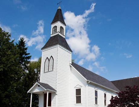
- Milner: the historic farming village around Glover Road and 216 Street, with an 1886 chapel, an early-1910s hall and the 562 bus.
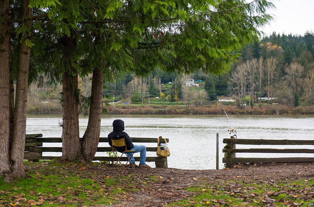
- Glen Valley: low farmland along the Fraser east of Fort Langley, where flood checks matter and there is no all-day bus.
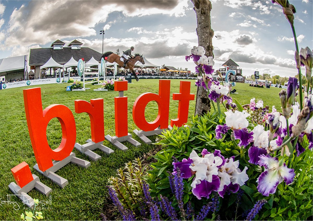
- Otter and the 248 Street corridor: farm stores, the Otter Co-op and Thunderbird Show Park along a road once called Otter Road.
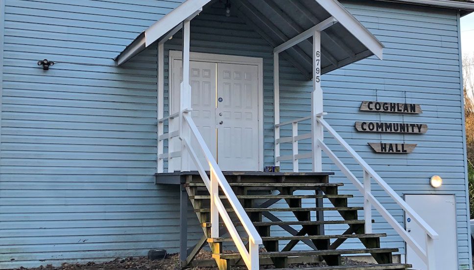
- County Line and Coghlan: the 264 Street and 256 Street countryside, now beside a Highway 1 interchange under construction.
- Salmon River Uplands: a named planning area between 232 and 248 Street, which is also where Hopington’s aquifer sits.
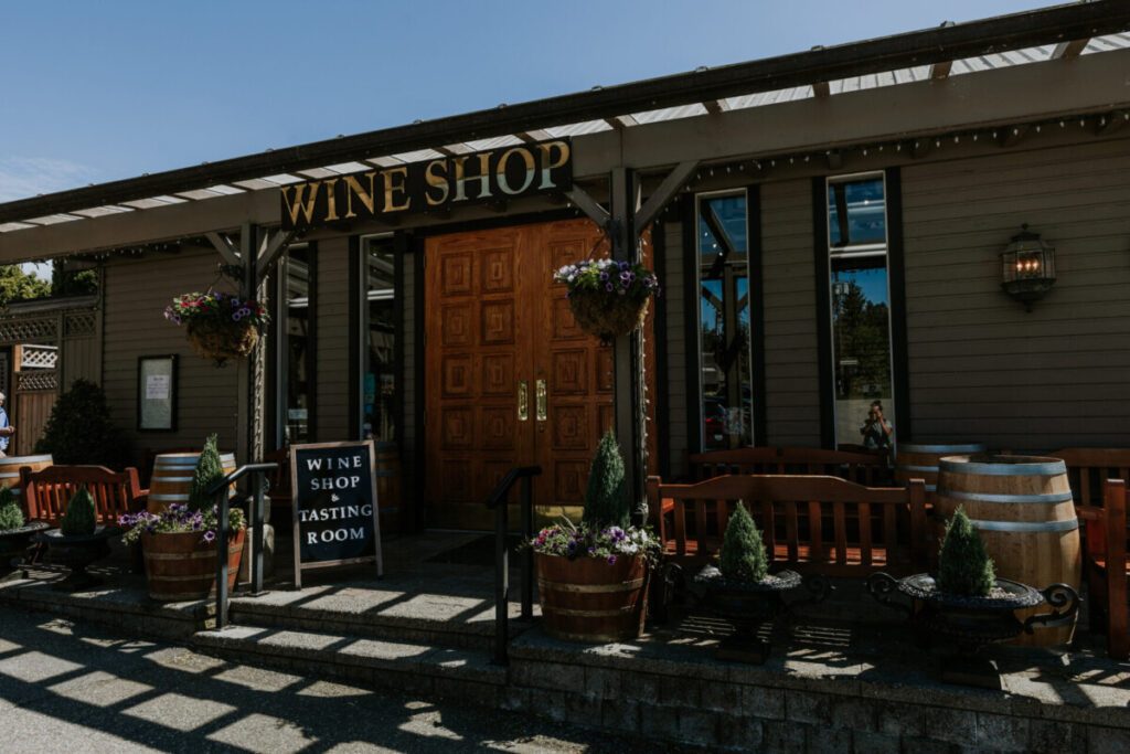
- South Langley and Campbell Valley: horse country, wineries and regional-park trails near the border.
You will also run into Sperling and Harmsworth (railway-era names around 240 Street and 232 Street), Patricia (264 Street and 8 Avenue, south of Aldergrove), Lochiel (224 Street and 16 Avenue) and High Point, a named development with an equestrian park at 200 Street and 2 Avenue. Forest Knolls, Tall Timbers, Robertson Ranch and Acadia turn up in Township water notices. A listing label such as “Salmon River” or “County Line Glen Valley” is a search phrase, not a legal neighbourhood, so always locate the actual parcel on the Township map.
What does the housing look like?
Mostly detached: farmhouses, newer replacement houses, acreages and country-estate lots, with the occasional suite or small commercial node. The Township does not publish a count of home types for each hamlet, so we will not invent one. The nearest public price benchmark is Langley-wide: in September 2026 the Fraser Valley Real Estate Board’s detached benchmark for Langley (City and Township combined) was $1,471,100, down 6.7 per cent from a year earlier. An acreage with a barn and a well is a different animal, so price the property in front of you. Our housing page covers ALR rules, water, septic and rents.
Everyday anchors
- Groceries and errands: the Otter Co-op at 3650 248 Street (food, hardware, pharmacy) and Ralph’s Farm Market at 22728 Fraser Highway. Milner Feed handles feed, hay and pet supplies. See shops and services.
- Parks: three big regional parks (Campbell Valley, Aldergrove, Glen Valley), plus Williams, Otter and Milner Parks. See parks.
- Schools: North Otter, Peterson Road, Wix-Brown and Fort Langley Elementary, and D.W. Poppy Secondary, with school buses for eligible students. See schools.
- Transit: a few bus corridors, nothing like a grid. See getting around.
- Hospital: Langley Memorial at 22051 Fraser Highway, with a 24-hour emergency department.
Who it suits
People who want to keep horses or farm, and whose land and services actually allow it. Families comfortable with school buses and car trips. Remote workers who have confirmed internet at the exact address. Buyers who like the idea of a project property and will do the paperwork homework.
Who might find it harder
Anyone who needs frequent transit, a walkable shop within minutes, or independent travel for teenagers away from the main roads. Buyers hoping to subdivide, add several houses or run events on ALR land should read the housing page first. Renters should ask who pays for well treatment, septic care and garbage collection before signing.
Good to know before you move
- Garbage collection, water and sewer all differ address by address. Ask for the records.
- School catchments cross locality lines. Use the SD35 school locator on the real address, and register through the district. See also the Langley-wide schools guide.
- Several bus routes run only at weekday peaks or in summer. Check the timetable for the hour you travel.
- The Highway 1 and 264 Street interchange is under construction, with a 2027 target.
- The fuller trade-off list, with sources and who to contact, is on the pros and cons page.
Start here
Housing · Schools · Getting around · Parks · Shops and services · Pros and cons. New to the area? Start with moving to Langley, then the directory’s rural Langley guide and farming and agriculture pages.
Questions people ask about Rural Langley
Is rural Langley in Langley City or the Township?
Is rural Langley a good place to live?
What is the ALR and does it affect me?
How far is rural Langley from Vancouver?
Is rural Langley safe?
Do rural Langley homes have well water and septic?
Is there garbage pickup in rural Langley?
What is rural Langley known for?
Is there a school bus?
Last checked October 29, 2026. Things change fast in a growing area: confirm anything important (catchments, rents, bus times) with the official source linked. Spotted something out of date? Tell us.