- Where
- Roughly 200 to 226 St and 0 to 22 Ave, around Campbell Valley and South Langley Regional Parks (a residential label, not an official neighbourhood)
- Parks
- Campbell Valley Regional Park (200 to 216 St, 4 to 20 Ave); South Langley Regional Park (224 St)
- Farm and horse stops
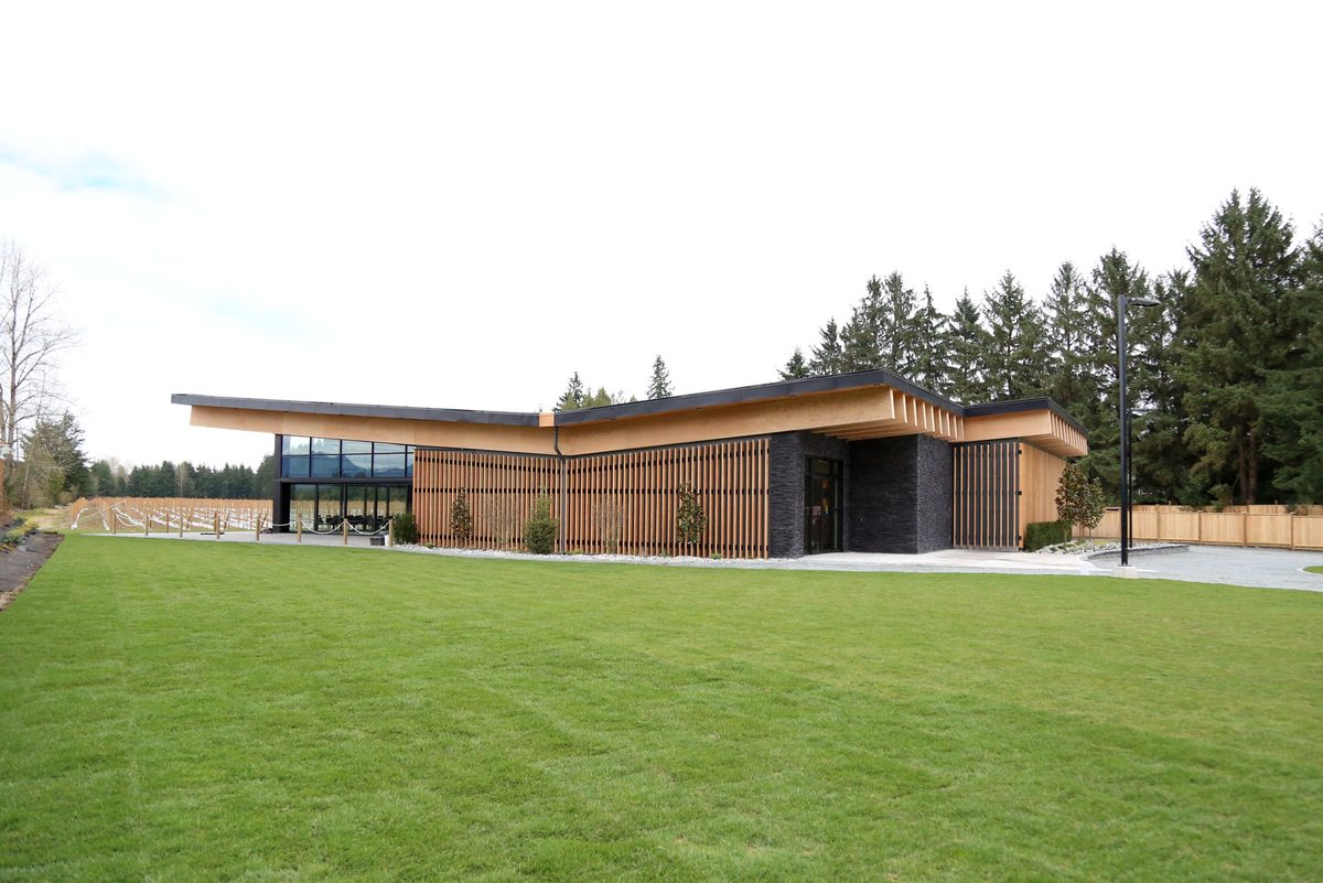
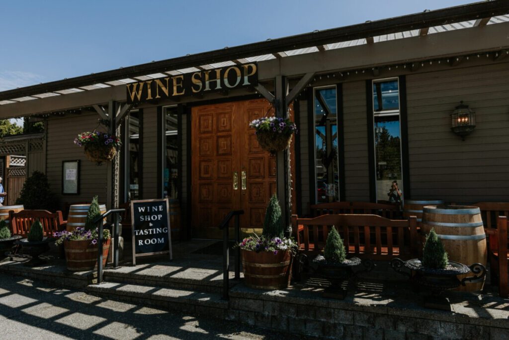
- Chaberton Estate Winery, 1064 216 St; Pacific Riding for Developing Abilities, 1088 208 St
- Bus
- Route 563 on the Fernridge edge; route 566 to Campbell Valley is summer-only
- Schools to check
- Glenwood Elementary (20785 24 Ave), Wix-Brown Elementary, Brookswood Secondary
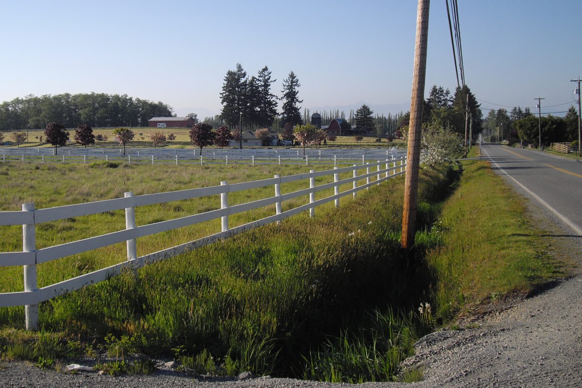
Campbell Valley is an official regional park, and “Campbell Valley” or “South Langley” is also what listings call the countryside around it. The park’s main lands run from about 200 to 216 Street and 4 to 20 Avenue, with an irregular outline, and the surrounding horse properties, farms and wineries fill out the rest. There’s no official single neighbourhood polygon, so this page describes a recognisable area, not a legal one. South Langley isn’t another municipality. It is simply the south of the Township, near the border.
What’s the housing like?
Country houses, farms and horse properties. Judge each one by what the land can do, not the gross lot size: streams, setbacks and protected areas can shrink the usable area, and the Township has creek and stream guidance and tree-protection rules that apply before you place an arena, driveway or outbuilding. The Township and the Agricultural Land Commission decide what buildings are lawful. We found no common build decade for this wide area, so ask about the specific property. Wells and septic are common, so use the checks on the housing page.
Lochiel and High Point
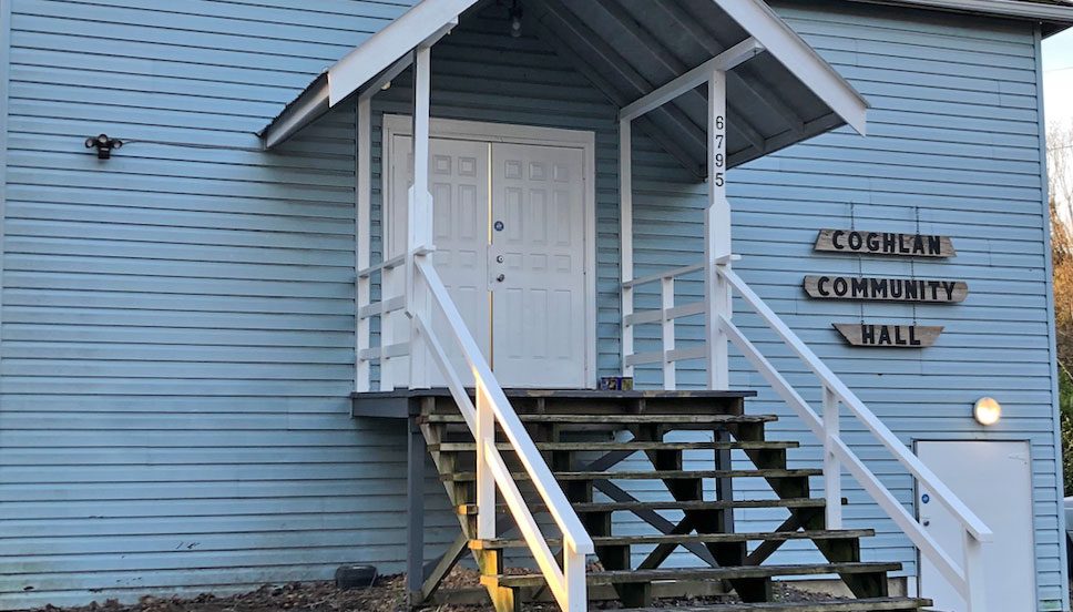
Lochiel is a historic settlement and school name around 224 Street and 16 Avenue. The Lochiel Schoolhouse inside Campbell Valley Regional Park was moved there, so its location doesn’t define the old settlement. Use the name for history. Then assess the home as a south-Langley rural property: well or water connection, septic capacity, lawful outbuildings, road access and school transport.
High Point is a named residential development, recognised in a 2006 rural-plan amendment and in High Point Equestrian Park at 2 Avenue and 200 Street, which has a pond, playground, parking and riding trails. It isn’t a synonym for Campbell Valley. A development label doesn’t prove strata status or unrestricted horse keeping, so read the title, covenants, service connections and any shared obligations.
What’s close by?
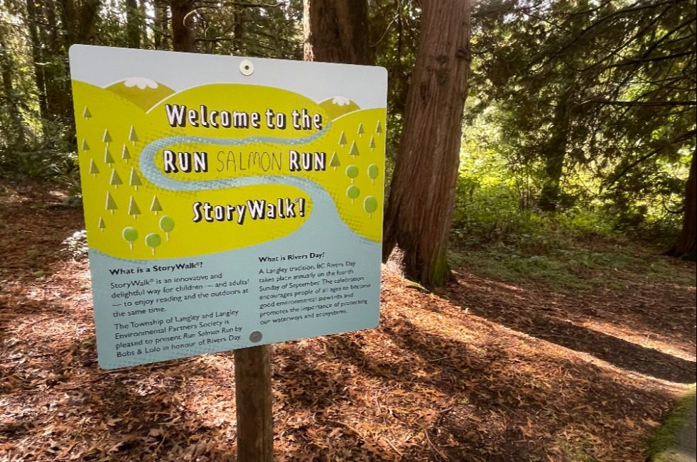
- Campbell Valley Regional Park: extensive walking and riding trails, plus horse-trailer parking at Campbell Downs (208 Street south of 16 Avenue). Details and trail lengths are on the parks page, and our Campbell Valley directory page has more.
- South Langley Regional Park: entered from 224 Street between 4 and 8 Avenue. The park map marks large areas as no public access, so stick to the mapped trails. See the South Langley Regional Trail.
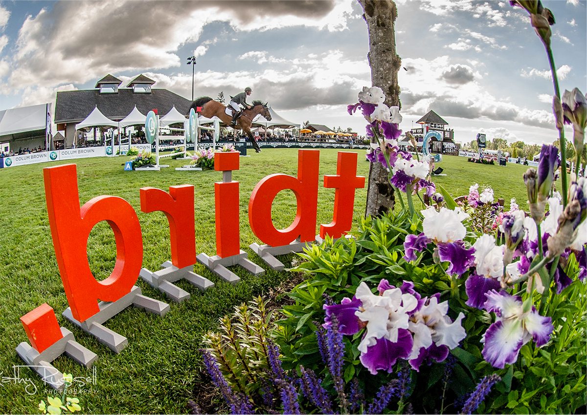
- Farm and horse stops: Chaberton Estate Winery (1064 216 Street) has a shop and bistro, and Pacific Riding for Developing Abilities (1088 208 Street) runs adaptive riding. See Langley wineries and horse country.
- Errands: trails and wineries don’t cover daily shopping. Depending on which side of the countryside you’re on, the destination is Brookswood, Murrayville or the Otter node. See shops and services and the Brookswood-Fernridge guide.
Which schools serve South Langley?
Glenwood Elementary (20785 24 Avenue), Wix-Brown Elementary (23851 24 Avenue) and the secondary catchment, with Brookswood Secondary the south-west option, all need checking against the exact address. Glenwood’s June 2024 plan listed two instructional portables, and Wix-Brown listed none, but ask the schools for current counts. The U-Connect programme is at 20190 48 Avenue, not at the old Lochiel site. See schools.
Getting around
A trail beside a property doesn’t mean a direct all-season bus to it. Route 563 serves the Fernridge edge about hourly, and route 566 is summer-only. Don’t plan a commute around either without checking the timetable. School and shopping trips need their own planning. See getting around.
Good to know
- Check which side of a catchment boundary you’re on, and bus eligibility, before you buy.
- Public trails and private horse properties sit side by side. Stay on mapped routes.
- For a more built-up neighbour, see Brookswood-Fernridge.
Back to the rural Langley overview.
Questions people ask about South Langley and Campbell Valley
Is South Langley a separate municipality?
Can I keep horses in South Langley?
Is there a bus to Campbell Valley Regional Park?
Where is Lochiel?
Is High Point a separate community?
Which schools serve South Langley?
Last checked October 29, 2026. Things change fast in a growing area: confirm anything important (catchments, rents, bus times) with the official source linked. Spotted something out of date? Tell us.