- Municipality
- City of Langley, its own council and city hall at 20399 Douglas Crescent. Not the Township of Langley.
- People
- 28,963 in the 2021 census; BC Stats estimated 35,315 in 2024
- Size
- About 10 km²; 196 Street on the west and 44 Avenue on the south are the easiest edges to picture
- Homes
- Roughly 63% owner and 37% renter households (2021)
- SkyTrain
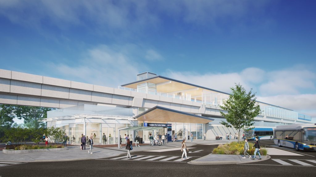
- Langley City Centre (east of 203 Street) and Willowbrook (196 Street) stations, due late 2029
- Check an address
- City of Langley maps
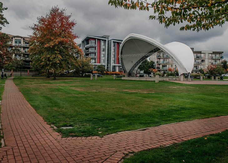
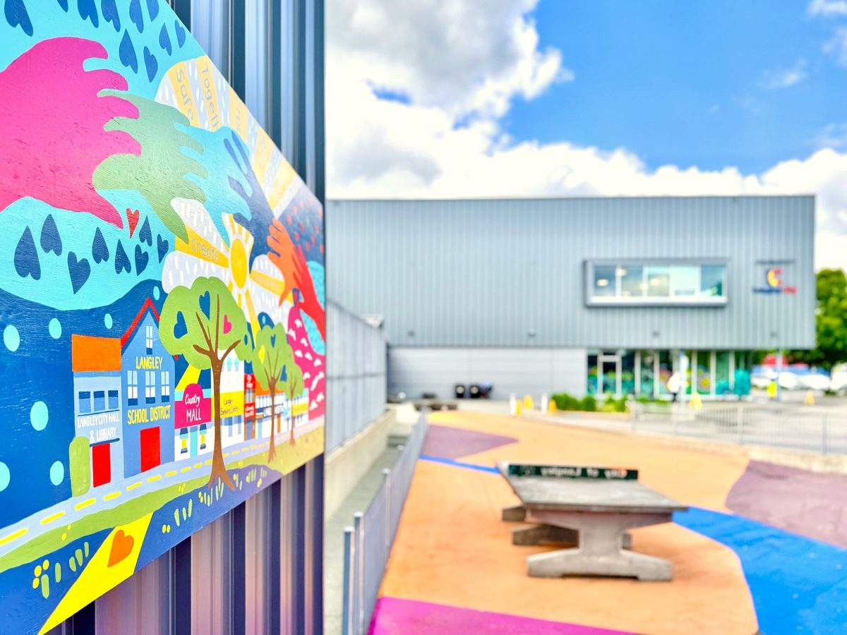
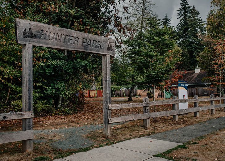
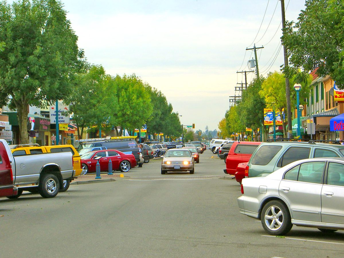
Langley City is the small municipality in the middle of the Langley map, a little over 10 km² in all. Its older, denser core sits north of the Nicomekl River: the Fraser Highway One-Way, a civic block with City Hall, the library and Timms Community Centre, and a lot of six-storey apartment buildings. South of the river it turns into streets of detached houses, much of it built in the 1970s and 1980s according to the City’s older neighbourhood profiles, with schools and parks every few blocks. People live here for the central location, the walk-to-everything feel of the north side, and prices that sit below the Township’s big detached homes.
Where it is, and who runs it
The City covers about 10 km² and is bordered by Surrey to the west and the Township of Langley everywhere else. Its outline is stepped and irregular. 196 Street is a useful western reference and 44 Avenue a useful southern one, but the north and east edges jog around properties, so don’t trust a postal address, “the Bypass” or “Willowbrook” to tell you whether a place is in the City. The City’s interactive map settles it in seconds.
That matters because the City runs its own show. It has its own council, bylaws, parking rules, recreation system, fire department (the hall is at 5785 203 Street) and zoning, separate from the Township’s. Some things are shared across Langley: the RCMP detachment, the school district (SD35), TransLink and the regional library. Our City vs. Township explainer lays out who does what.
How many people, and who lives here
The census counted 25,888 people in 2016 and 28,963 in 2021, up 11.9%. BC Stats’ newer estimate puts the 2024 population at 35,315, up 5.0% from 33,622 the year before. (Estimates and census counts are different measures, so don’t compare the growth rates directly.) Statistics Canada’s 2021 data shows a median age of 41.2, about one in five residents aged 65 or older, and a household mix that leans small: roughly 36% one-person households, 25% couples without children, 23% couples with children and 10% lone-parent households. About 63% of households owned and 37% rented.
What the housing is like
The north-south split is the key to everything. North of the river you will mostly find apartments and townhouses, from older low-rise strata buildings to new six-storey projects. The four neighbourhoods south of the river are where most of the detached houses are. The City is an urban municipality, so a search for acreage or rural property that says “Langley” is almost certainly showing you the Township.
Prices are published for Langley as a whole, not for the City alone. In September 2026 the Fraser Valley Real Estate Board’s benchmarks for the combined Langley market were $1,471,100 for detached homes, $802,600 for townhouses and $525,900 for apartments. For the City-specific picture, see buying and renting.
The neighbourhoods
The City recognises six official neighbourhoods, a set that dates back to a study around 2000. They are not today’s school catchments, so use the school district’s locator for any address.
| Neighbourhood | Where, roughly | What it is known for |
|---|---|---|
| Downtown Langley | Fraser Highway, Glover Road, 203 to 206 Street | The One-Way, Innes Corners, the future SkyTrain station |
| Nicomekl and Brydon | West side, north of the river, 196 to 203 Street | Apartments, Brydon Lagoon, Nicomekl Elementary, river floodplain |
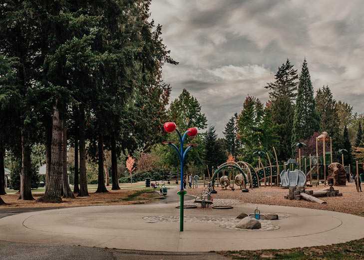
| Douglas | Around Douglas Park and Eastleigh Crescent | Apartments, spray park, new childcare centre |
| Simonds | West-central, south of the river | Sendall Gardens, detached homes, Simonds Elementary |
| Blacklock and Uplands | East side, south of the river | City Park, the outdoor pool, H.D. Stafford Middle |
| Alice Brown | Southwest corner, along 44 Avenue | Penzer Park, a K to 7 school that feeds Brookswood Secondary |
Everyday life
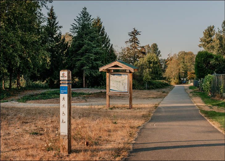
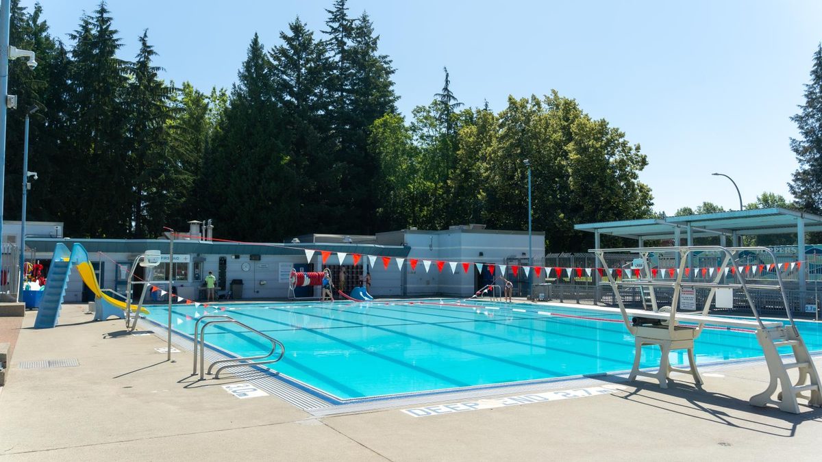
Groceries and errands cluster along Fraser Highway and Douglas Crescent (Save-On-Foods, No Frills and Safeway are all within the City), with RONA and the big-box strip on the Langley Bypass and the Willowbrook mall just across the boundary. The shops and services page names them and the independent places worth knowing. For parks, the City lists 17 parks and 10 trails, plus an outdoor pool at City Park that closes for the winter; the parks page has the table. Six public elementary schools, a middle school and a school with Montessori and blended-learning programs are inside the boundary; the high schools are just outside it. See schools.
Kwantlen Polytechnic University has a Langley campus on the Bypass, so there is post-secondary right in town. The hospital, though, is in the Township’s Murrayville.
What has changed lately
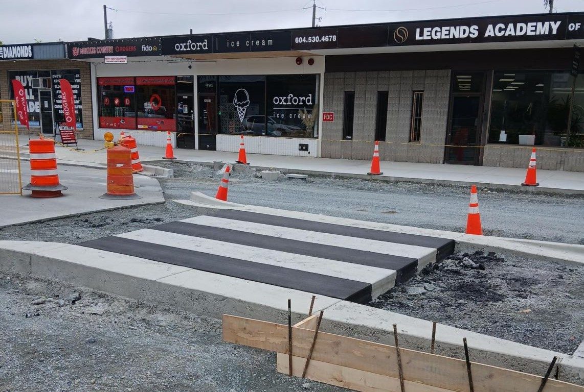
- August 2025: the Fraser Highway One-Way reconstruction finished; the official reopening followed in September.
- September 2025: a 200-seat addition opened at Nicomekl Elementary.
- March 2026: the City adopted a new zoning bylaw (No. 3300) with rules for the SkyTrain station areas.
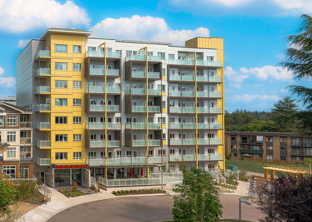
- May 2026: The Maple, a Langley Lions Housing Society rental building for seniors 55 and over, held its official opening.
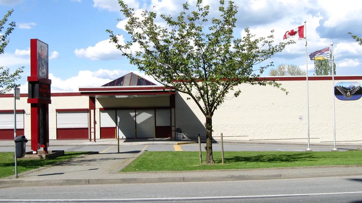
- June 2026: Douglas Recreation and Child Care Centre reopened with 75 licensed childcare spaces, and on 15 June the Glover Road Innovation District plan was endorsed.
- September 2026: a 300-seat addition opened at Langley Secondary.
- Late 2029: target opening for the Surrey Langley SkyTrain.
SkyTrain is still construction, not service. Notices from the project in late October 2026 show lane restrictions and work around Fraser Highway and Industrial Avenue. If you are choosing a home for the stations, weigh the years of building noise against the future convenience. Details on the getting around page.
Who it suits, and who might find it harder
Langley City tends to work well for first-time buyers and renters who want an apartment or townhouse, people who want to walk to groceries and a library, seniors who want services close at hand (the Langley Seniors Resource Centre is at 20605 51B Avenue), and commuters who plan to use SkyTrain once it opens. Families can do well on the south side, where parks and schools sit close together.
It can be a harder fit for anyone who needs acreage, horse property or a rural setting, which the City does not have; for households with two or more cars and a boat or RV, because street parking is time-limited and new station-area apartments may come with fewer stalls; and for car-free residents on the south side, where some local buses run only once an hour.
Good to know before you move
- Confirm the municipality, school catchment and floodplain status of any specific address before you buy or sign a lease.
- The City has no “resident only” street parking areas; unposted street space is limited to 72 hours.
- Homelessness is a visible and acknowledged issue in Langley; shelter and outreach services operate in the City, and we cover them factually on the pros and cons page.
- Parts of the river corridor are floodplain, which affects building rules on some lots.
- Willowbrook’s big shopping centre is in the Township, and it has its own Living in Langley guide.
Start here
- Buying a home in Langley City
- Renting in Langley City
- Schools and childcare
- Getting around, SkyTrain and parking
- Parks, trails and recreation
- Shops, health care and daily services
- Pros and cons of living in Langley City
New to Langley altogether? Read moving to Langley, and see the Langley-wide guides on buying a home and property tax and utilities. The City’s own history page is in our Langley City guide.
Questions people ask about Langley City
Is Langley City a good place to live?
Is Langley City in the City or the Township?
Is Langley City safe?
How far is Langley City from Vancouver?
When will SkyTrain reach Langley City?
What is Langley City known for?
What are the neighbourhoods in Langley City?
Is Langley City cheaper than the rest of Langley?
Does Langley City have its own hospital?
Which high school do Langley City kids go to?
Last checked October 29, 2026. Things change fast in a growing area: confirm anything important (catchments, rents, bus times) with the official source linked. Spotted something out of date? Tell us.