- Biggest strengths
- Central location, walkable north side, SkyTrain due late 2029, parks and river trails
- Biggest trade-offs
- Hourly buses on the south side, construction, housing costs, parking, floodplain, seasonal pool
- Homelessness count, 2025
- 243 people in the City and Township combined (March 2025 point-in-time count)
- Report a municipal issue
- City service requests
- Emergency
- 911 · RCMP non-emergency 604-532-3200
Most people who like Langley City like the same things: it is central, you can do a lot on foot on the north side, the apartments cost less than most of Metro Vancouver, and SkyTrain is on the way. Most of the things people find hard are the flip side of those. We’ve put the good first, then each challenge with what the numbers say, who feels it, what is being done and where to raise it.
What works well
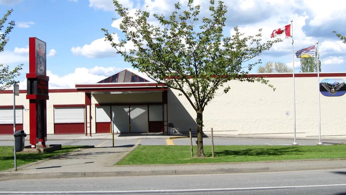
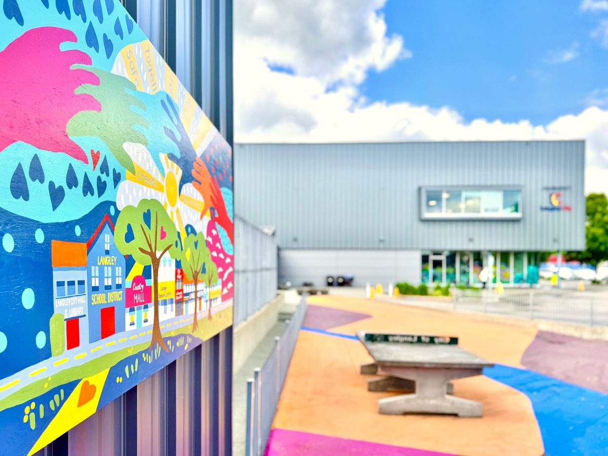
- It is compact and central. The City covers about 10 km², and a civic block at 20399 Douglas Crescent holds City Hall, the library and Timms Community Centre, a short walk from Douglas Park and the One-Way.
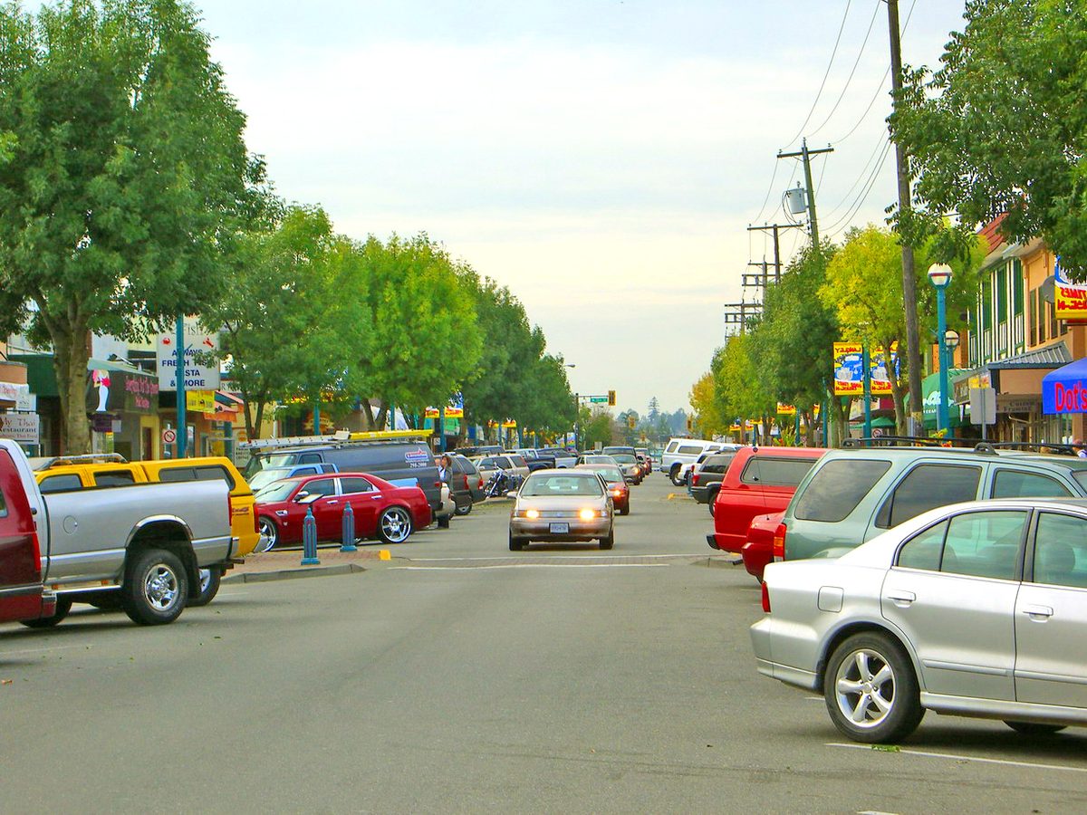
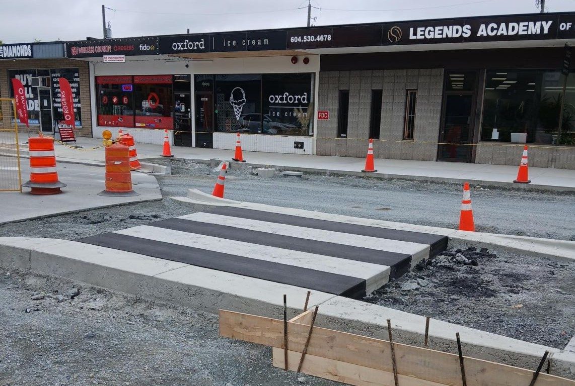
- A walkable core. The Fraser Highway One-Way (204 to 206 Street) was rebuilt in 2025. Groceries, a pharmacy, restaurants and services sit within a few blocks of the apartments around it.
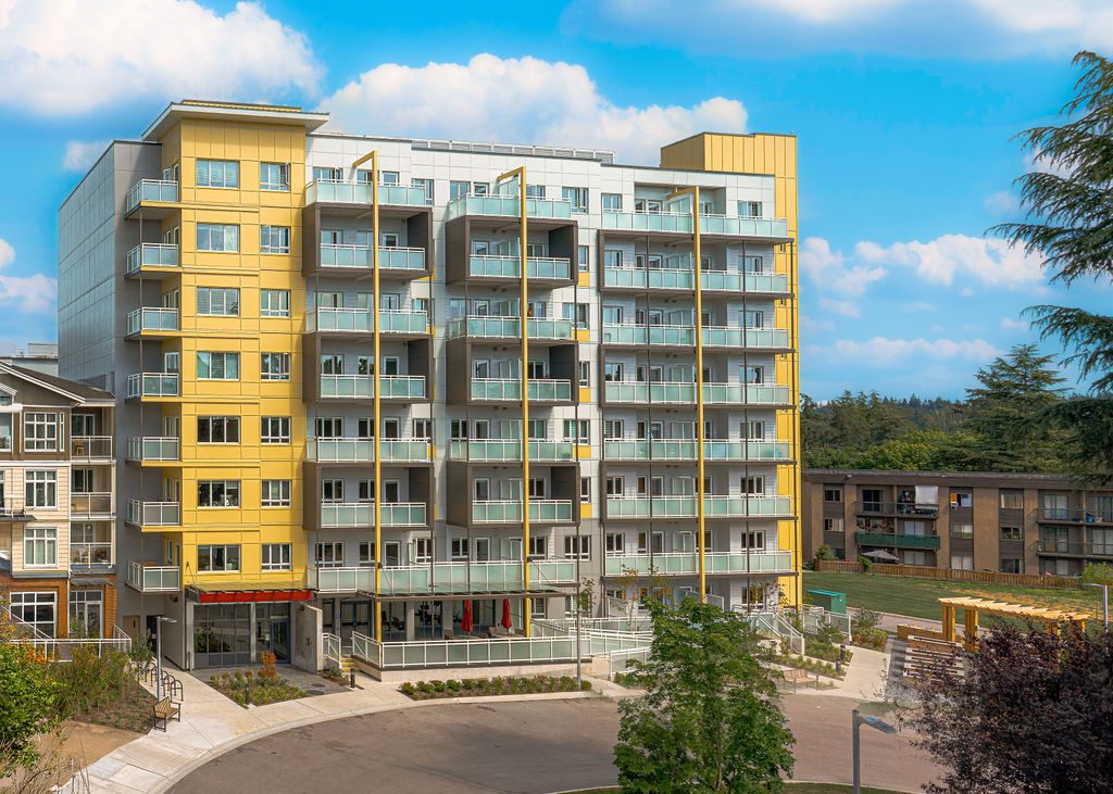
- More apartments and townhouses than most of Langley. In the September 2026 Langley-wide figures, the typical apartment cost $525,900 and a townhouse $802,600, against $1,471,100 for a detached house.
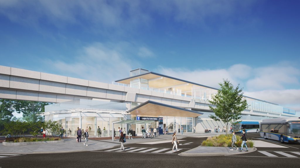
- SkyTrain is coming. Two stations are under construction, with a target of late 2029.
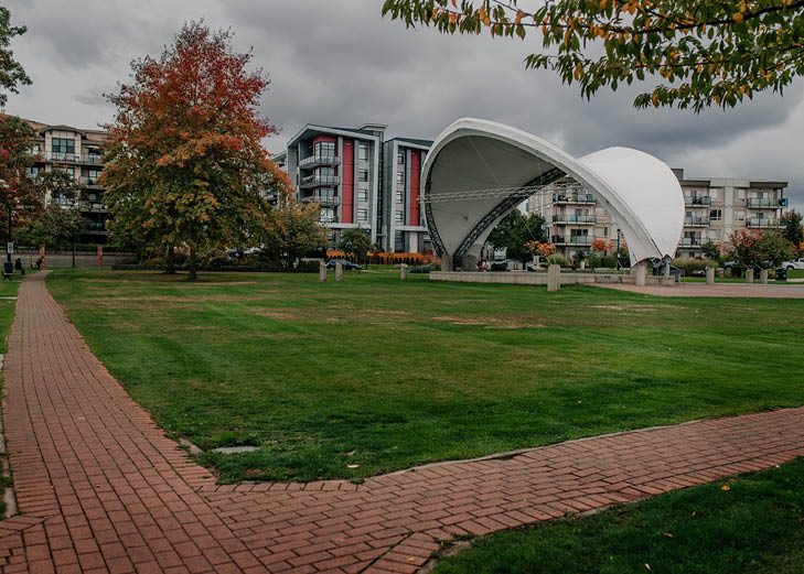
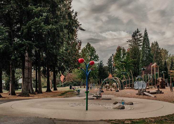
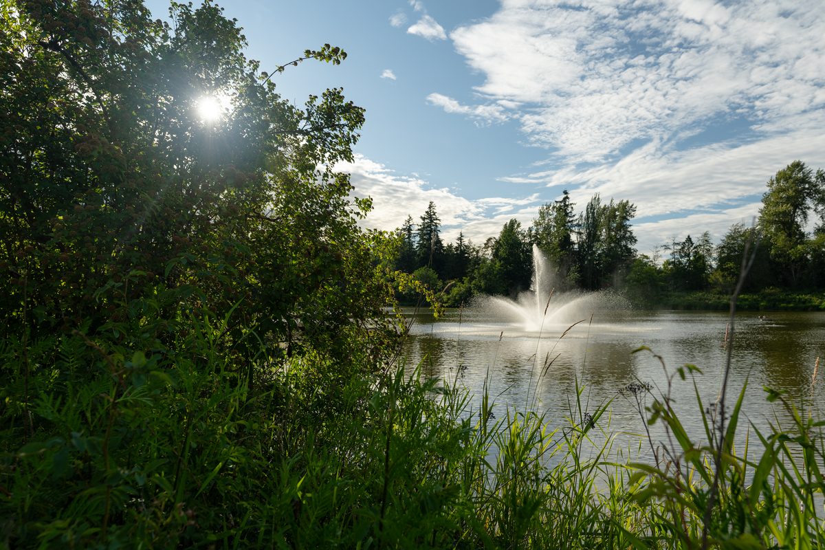
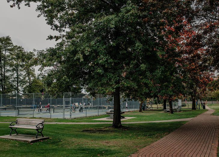
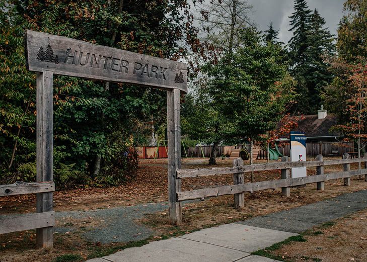
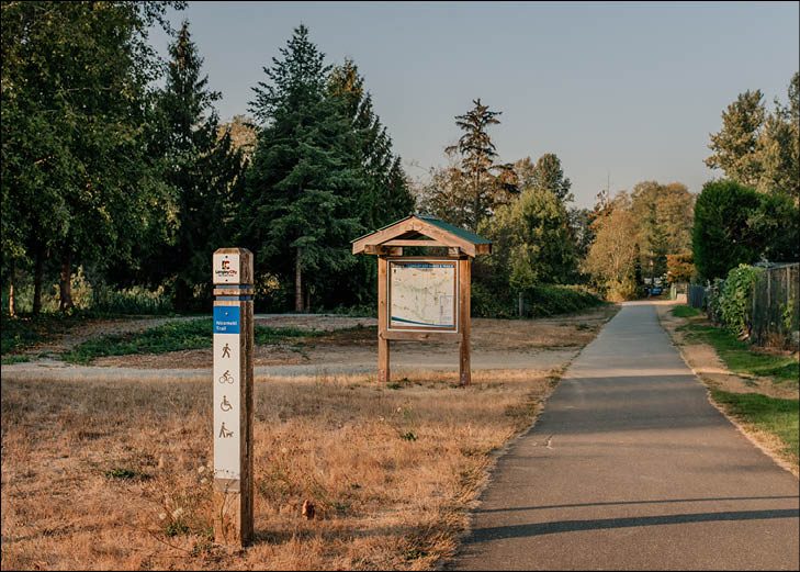
- Green space. 17 parks and 10 trails, with the Nicomekl River corridor running through.
- Recent investment. The One-Way, a new childcare and recreation centre at Douglas (June 2026), and added seats at Nicomekl Elementary (2025) and Langley Secondary (2026).
- A real local identity. Its own council, library branch and downtown business association, and a history as Innes Corners and then Langley Prairie before incorporating in 1955.
The challenges at a glance
| Issue | Who feels it most | What is being done | Where to raise it |
|---|---|---|---|
| Uneven buses, especially south | Car-free households, shift workers, students | Future stations; no confirmed 2029 feeder network | TransLink feedback; City Transportation 2050 |
| SkyTrain and road construction | Nearby residents, businesses, bus riders | Work continues toward late 2029 | Project line 1-844-815-6111 |
| Housing cost | New renters, first-time buyers | New rental completions; The Maple | City planning pages; provider applications |
| Homelessness and public-space concerns | People without housing; residents and businesses nearby | Shelter, outreach, City safety work | Services listed below; City portal; RCMP |
| Parking | Multi-car households, tenants, visitors | Time limits; transit-area zoning | City portal; strata or landlord |
| Floodplain and riparian rules | River and creek-side owners | Floodplain bylaw; river district plan | City Planning |
| School capacity uncertainty | Families choosing an address | Additions opened 2025 and 2026 | School district, 604-534-7891 |
| Seasonal-only City pool | Year-round swimmers | 2026 feasibility study | City recreation; pool engagement page |
Homelessness and the services that exist
We want to cover this plainly, because people looking at the City will see it, and because the people involved are neighbours who need housing.
What the numbers say. On 10 and 11 March 2025, the regional point-in-time count recorded 243 people experiencing homelessness in the City and Township of Langley combined: 138 unsheltered and 105 sheltered. The comparable 2023 total was 235. Across Greater Vancouver the count was 5,232, up from 4,821. These are minimum counts on two days, not full estimates of everyone without a stable home, and we couldn’t find a City-only figure. The count also says nothing about who commits crime, and we found nothing in the City’s crime data that links offences to people experiencing homelessness.
Where help is.
| Service | Location and contact | What it offers |
|---|---|---|
| Gateway of Hope | 5787 Langley Bypass; 604-514-7375 | The operator lists 32 shelter beds, 30 nightly relief mats and, from November to March, 20 weather-activated mats. Programs have different intake rules, so call for current space |
| Stepping Stone Community Services | 20101 Michaud Crescent; office 604-530-5033, outreach 604-530-6477 | Outreach, housing-related help and support navigating services |
| Foundry Langley | 20616 Eastleigh Crescent; 604-546-2700 | Health, mental health, substance-use and social supports for ages 12 to 24 and their families. Not an adult shelter |
| Creek Stone (Township) | 6465 201 Street | 49 supportive homes opened in 2019. An existing regional resource, not a City shelter or a list of vacancies |
For food and basic needs, see food bank and help in Langley and emergency contacts.
What the City is doing. It ran a Citizens’ Assembly on community safety and well-being and has launched Resilient Neighbourhood Networks, with Nicomekl and Douglas as the first pilots. These support prevention and coordination. They are not new shelter beds or supportive housing.
Who to contact for what. If you need help, start with the providers above. For litter, a blocked sidewalk or another maintenance issue, use the City’s service request portal. For a crime, call Langley RCMP on 604-532-3200, and in immediate danger call 911. The Community Safety Awareness Committee is a channel for broader local concerns.
Property crime and safety
The City’s September 2026 police map counted, in its selected categories: 6 business break-ins, 1 residential break-in, 5 auto thefts, 17 thefts from vehicles, 6 other thefts and 2 bike thefts. That is one month, in selected categories, and not a risk score for your street. We have no verified neighbourhood rates or population-adjusted comparison with other municipalities. For a home, visit after dark, look at entrances, lighting, bike storage and parkade access, and ask the landlord or strata about documented incidents. Our Langley-wide safety guide explains how to read these figures.
Transit, construction and roads
The September 2026 timetable shows Fraser Highway routes running every 12 to 20 minutes at peak, while routes 560 and 561 on the south and east sides usually run hourly. SkyTrain notices from late October 2026 show lane restrictions and construction around Fraser Highway and Industrial Avenue, and the City’s Bypass roadway and cycling work between 56 Avenue and Fraser Highway is scheduled through December 2026, with 208 Street and Fraser Highway rehabilitation also under way. Dates move, so check the notice for your block. The details and the station list are on getting around.
Housing cost, and what we can’t tell you yet
Langley-wide benchmarks have drifted down over the past year (detached down 6.7%, townhouses down 4.4%, apartments down 9.2% to September 2026), but they are still high, and the City’s own latest rent data is from October 2024 (the newer October 2025 CMHC survey covers the City and Township together, with an average apartment rent of $2,014). The City recorded 329 net new purpose-built rental units in the year to July 2025, and The Maple opened for seniors in 2026. None of that proves affordability has been solved. See buying and renting.
Parking
There are no resident-only street parking areas, unposted street space is limited to 72 hours, and RVs and trailers get 48 hours. Near the stations the zoning bylaw drops ordinary residential parking minimums. If you own two or more vehicles, ask exactly what comes with the unit. See the rules on getting around.
The Nicomekl floodplain
The river corridor and its creeks shape what can be built. The City’s floodplain bylaw sets construction levels, and the river district plan addresses fish habitat and ecology. This doesn’t mean whole neighbourhoods flood; it means a lot-by-lot check. Public access is on mapped park and trail land only, not private riparian property. Check a property with City Planning, and keep an eye on the Baldi Creek culvert work at 200 Street, listed for June to December 2027.
School capacity
Old portable counts still circulate online even though Nicomekl gained 200 seats in 2025 and Langley Secondary 300 in 2026. Confirm current space with the school district before choosing an address for a school. See schools.
A pool that closes for the winter
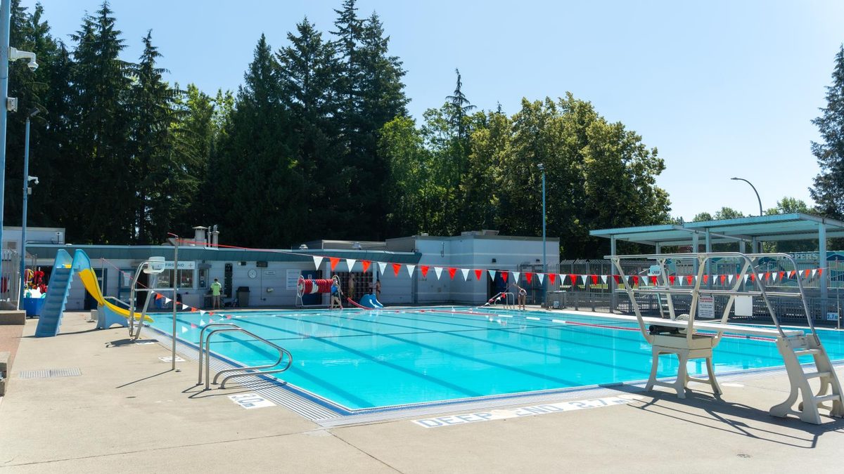
Al Anderson Memorial Pool is outdoor and seasonal; the 2026 season is over and the City lists reopening on 18 April 2027. A 2026 feasibility study explored options for an aquatic centre, with no funded date yet. You can share thoughts through the City’s pool engagement page. Year-round swimming is in the Township. See parks and recreation.
What is coming
| Project | Status | What it could mean |
|---|---|---|
| Surrey Langley SkyTrain | Under construction; late 2029 target | Rapid transit from Willowbrook and Langley City Centre |
| Glover Road Innovation District | Plan endorsed 15 June 2026 | Mixed uses and connections between downtown, SkyTrain and the KPU campus area; not a built campus |
| Station-area zoning | Bylaw 3300, adopted 9 March 2026 | Allowances for taller buildings near stations, with parking changes |
| Langley Mall and Innes Corners | Redevelopment direction in the OCP; no construction date | Possible new public space and housing in future |
| Bypass improvements | Scheduled through December 2026 | Cycling and walking changes; safer school access |
| Pool renewal | Study issued 30 March 2026 | Options only, no funded date |
Who it suits
Langley City is a good fit if you want a central, walkable apartment or townhouse life, are happy to ride out several construction years for a SkyTrain station near home, or want a south-side house near parks. It is a harder fit if you need acreage, rely on a bus outside the Fraser Highway corridor, need two or more parking spaces or room for a large RV, or want a year-round indoor pool within the City. The overview and the six neighbourhood guides will help you test your own list.
Questions people ask about Langley City
What are the main pros of living in Langley City?
What are the main cons of living in Langley City?
Is homelessness a problem in Langley City?
How much crime is there in Langley City?
Does Langley City flood?
Is Langley City noisy?
Where do I report a street, sidewalk or parking problem?
Last checked October 29, 2026. Things change fast in a growing area: confirm anything important (catchments, rents, bus times) with the official source linked. Spotted something out of date? Tell us.