- Municipality
- Township of Langley (not Langley City)
- Population
- 14,611 in the Township’s 2025 Annual Report
- Size
- About 1,440 hectares, from 196 Street east past 208 Street and from 44 Avenue south to 16 Avenue
- Typical home
- Detached house on a large, treed lot; townhouses and apartments are now being applied for
- Public schools
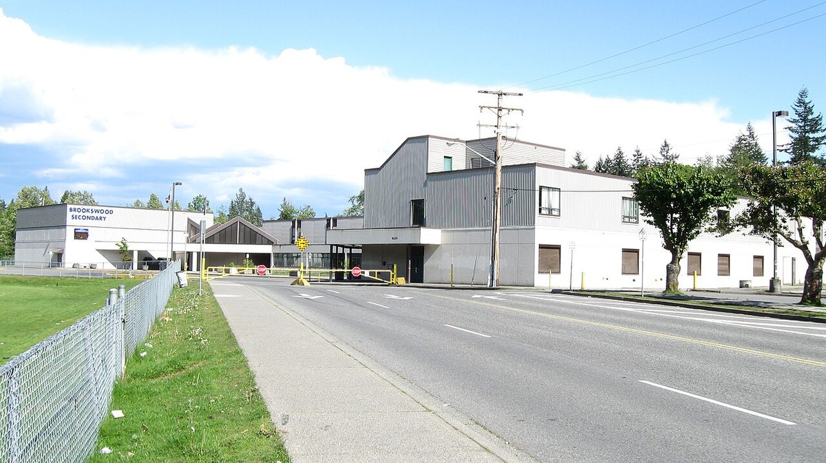
- 4 elementary schools and Brookswood Secondary; see schools
- Buses
- Routes 531, 561 and 563; no SkyTrain yet (Surrey-Langley line targeted late 2029)
- Park next door
- Campbell Valley Regional Park
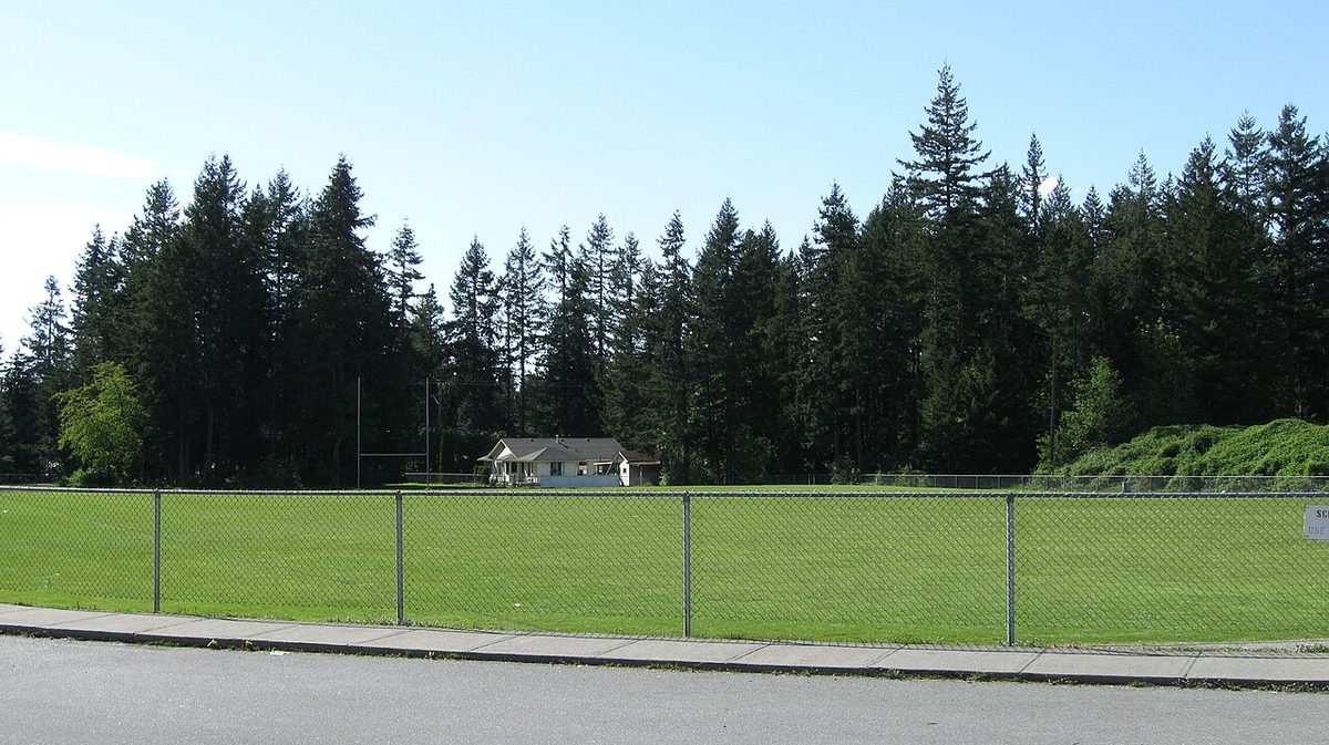
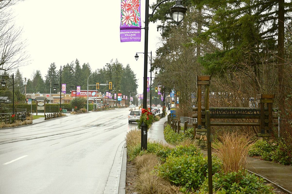
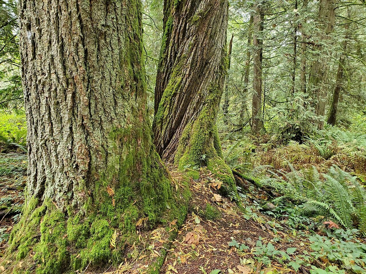
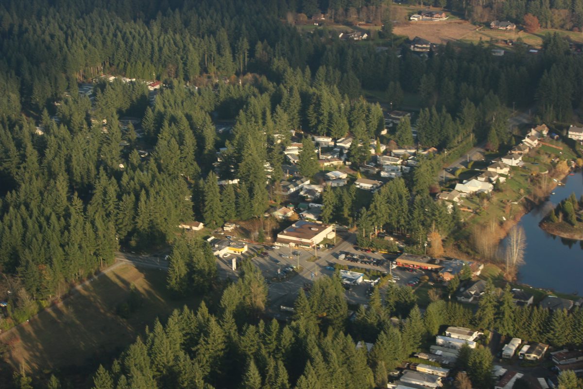
Seven out of every ten roads in Brookswood and Fernridge have no sidewalk or path, which tells you most of what daily life here is like. This is the Township of Langley’s big-lot, tall-tree corner: houses built mostly between the late 1960s and the mid-1990s on lots of around 929 m² (10,000 square feet), a small village at 200 Street and 40 Avenue, and a second cluster of shops at 200 Street and 24 Avenue. It is quiet, green and car-dependent. It is also the one part of Langley where the Township has adopted detailed plans for town centres, townhouses and apartments, so both pictures are true at once.
Where are Brookswood and Fernridge?
South of Langley City and east of Surrey, in the Township of Langley. The Township’s official plan area covers about 1,440 hectares: from 196 Street on the west to an uneven eastern edge around 212 Street, and from the City boundary near 44 Avenue south in steps to 16 Avenue. Campbell Valley Regional Park and farmland in the Agricultural Land Reserve lie along the southeast; Surrey’s Campbell Heights business area is on the other side of 196 Street.
The City boundary matters for services. Alice Brown Elementary, for example, is in Langley City but serves some Township homes, so “Langley” or “Brookswood” in an address is not enough to tell you the municipality or the school. Use the Township’s map and the school district’s locator (more on both below). Not sure which municipality does what? Our City vs. Township explainer sorts it out.
What are the different neighbourhoods called?
Locals say “Brookswood” and “Fernridge,” but the Township’s plans use a few more names. This is the cheat sheet:
| Name | What it is | Rough location |
|---|---|---|
| Brookswood | The older, developed north and the shopping node called Brookswood Village | Around 200 St and 40 Ave |
| Traditional Brookswood | A formal plan designation for the classic large-lot streets | About 196 to 208 St, City boundary south to the 33A, 36 and 42 Ave steps |
| Cedar Ridge | Established area east of 208 Street, connected to the City of Langley’s sewer network | Near 43 and 44 Ave |
| Fernridge | The south; also the name of an adopted neighbourhood plan | Around 200 St and 24 Ave; plan area roughly 196 to 204 St, 16 or 20 to 27 Ave |
| Booth | Neighbourhood-plan area with a planned town centre | Around 200 St and 32 Ave |
| Rinn | Neighbourhood-plan area following the 208 Street corridor | Irregular, not simply “east of 208” |
| Glenwood | Fourth plan area (also the name of an elementary school) | About 204 to 208 St, 20 to 28 Ave |
Those edges follow individual parcels, so none of them is a legal boundary. If a specific lot matters, check the Township’s plan maps. Developer names for individual projects aren’t official neighbourhoods either.
How many people live here, and how fast is it growing?
| Source | Brookswood-Fernridge population |
|---|---|
| Township 2016 Annual Report | 13,248 |
| Township 2021 Annual Report | 13,650 |
| Township 2025 Annual Report | 14,611 |
That works out to roughly 3% growth between the first two reports and 7% between the 2021 and 2025 ones. They are the Township’s own published snapshots, not matched Census counts, so use them as a guide. The community plan also describes a long-term build-out of about 59,900 people. That is a planning ceiling with no completion date, not a forecast for the next few years.
What kinds of homes are here?
Mostly detached houses on large lots, with a scattering of manufactured-home parks (Cedar Creek Estates, Cedarlane and Fernridge Mobile Home Park are three named in the Township’s licence directory) and, increasingly, townhouse and apartment applications along 200 Street. The plan’s own background figures, from 2011, put the mix at about 85% detached, 14% manufactured homes and 1% apartments; those are old numbers, but they show the pattern the newer plans are changing. We cover prices, rents, septic and sewer, and the development applications on the housing page.
What does everyday life look like?
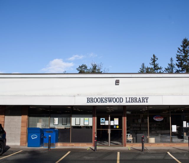
- Errands. Groceries, pharmacy and library cluster around 200 Street and 40 Avenue; a separate grocery stop sits at 200 Street and 24 Avenue. There is no continuous main street between them. See shops and services.
- School. Alice Brown, Belmont, Noel Booth and Glenwood elementary schools feed Brookswood Secondary. Catchments are address-specific; our schools page has the table.
- Getting around. Routes 531, 561 and 563 serve the area, mostly hourly outside the 531’s corridor, and Fernridge’s 563 stops early on Sundays. Most households drive. See getting around.
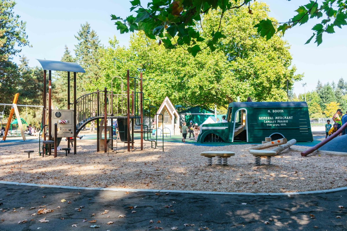
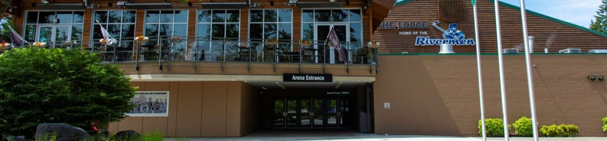
- Outdoors. Noel Booth, Brookswood Park and East Brookswood Park for fields and playgrounds; Campbell Valley for walking and riding; George Preston for the rink. Details on the parks page.
What is the Brookswood-Fernridge Community Plan, and what is changing?
The Township adopted the Brookswood-Fernridge Community Plan in October 2017. It keeps the established large-lot area (Traditional Brookswood) largely as it is, protects the aquifer under the neighbourhood, sets rules for trees and creeks, and plans new town centres, townhouses, apartments and small-scale multi-unit housing in other areas. Detailed neighbourhood plans for Booth, Fernridge and Rinn followed, with current versions dating from June 2024, and the Township incorporated further amendments into all four documents on 25 May 2026. Glenwood is a named plan area, but we haven’t found a separate adopted Glenwood neighbourhood plan in the Township’s current index.
This is where opinions differ, and it is a fair debate. The plan itself states two aims side by side: keep what makes the area green and low-density, and make room for many more homes, shops, parks and schools as the Township grows. Turning that into practice means weighing building height and form, how many mature trees stay, who pays for sewer and water extensions, and whether parks, schools and roads arrive before or after the new homes. The plan doesn’t promise delivery dates for most of those amenities. If you live here or are thinking of buying, the useful step is to follow the particular application beside you on the Township’s development activity page. We lay out the evidence on both sides of the trade-off on the pros and cons page.
Before you buy or rent: check four things for the exact address: how sewage leaves the property (sewer or septic), where drinking water comes from (municipal or well), how the neighbouring lots are designated in the Township's plan maps, and which elementary school the district assigns. They vary street by street here.
Who is Brookswood-Fernridge a good fit for?
It tends to suit households who want a detached home with a yard and mature trees, families who use neighbourhood fields and the rink, people who ride or walk in Campbell Valley, and drivers who like a quiet street with shops a few minutes away. Older residents who still drive can reach the library, pharmacy, a senior centre and several clubs close to home.
It can be a harder fit for car-free households and evening shift workers (hourly buses, and Fernridge’s last Sunday bus leaves around 5:53 pm), anyone who wants to walk to everything (the shopping nodes are small and sidewalk gaps are common), renters who need lots of choice, and people hoping for a short, easy trip to downtown Vancouver. Hospital and urgent care are outside the neighbourhood, in Murrayville and on 64 Avenue.
Good to know before you move
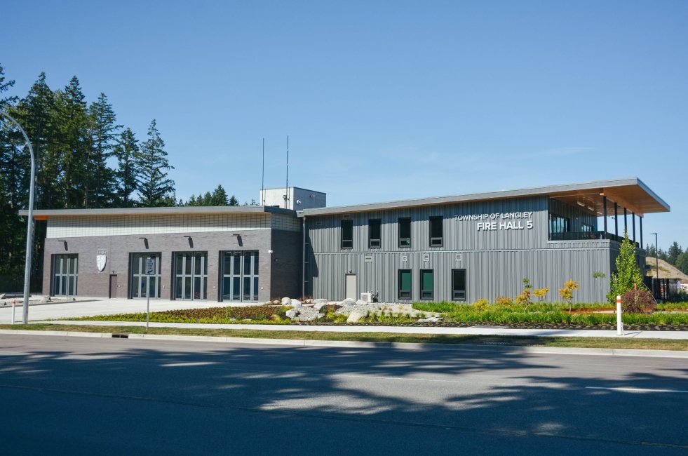
- The area is changing. Applications near 200 Street and 32 Avenue include one for about 447 apartments, and a new fire hall opened in July 2026. See what’s coming.
- Septic, wells and a high water table affect what you can build or renovate, including basement suites.
- Mature trees are protected by Township rules, and a big lot isn’t all buildable.
- A SkyTrain station is planned nearby (Surrey-Langley line, late 2029 target), but no train serves the neighbourhood today.
- Prices and rents we can cite are Langley-wide, not Brookswood-only.
Start here
- Housing: buying and renting
- Schools and childcare
- Getting around, buses and parking
- Parks and recreation
- Shops and services
- Pros and cons
- Neighbourhood pages: Brookswood and Fernridge
- Wider Langley guides: moving to Langley, buying a home, renting in Langley and our older Brookswood and Fernridge neighbourhood guide
Questions people ask about Brookswood & Fernridge
Is Brookswood a good place to live?
Is Brookswood in Langley City or the Township of Langley?
Are Brookswood and Fernridge the same neighbourhood?
Is Brookswood-Fernridge safe?
How far is Brookswood from Vancouver?
What is Brookswood known for?
Are Brookswood homes on septic or sewer?
Will every big lot in Brookswood be redeveloped?
What are Booth, Rinn and Glenwood?
Last checked October 29, 2026. Things change fast in a growing area: confirm anything important (catchments, rents, bus times) with the official source linked. Spotted something out of date? Tell us.