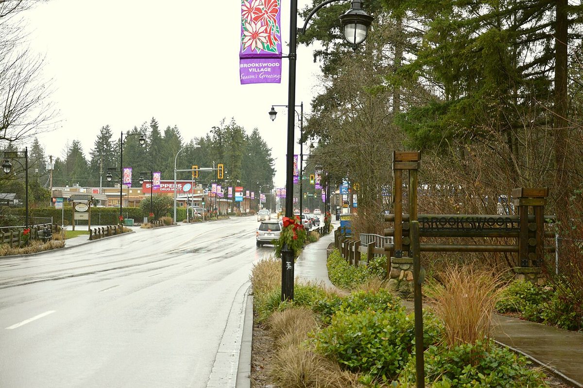
- Bus routes
- 531 (best frequency), 561 and 563 (about hourly), 840 school special
- Sunday limit
- Route 563 northbound at 200 St/24 Ave runs 08:53 to 17:53
- To Waterfront by car
- About 54 min from 200 St/40 Ave with no traffic (modelled)
- Nearest SkyTrain
- None yet; Surrey-Langley line targeted for late 2029
- Sidewalks
- 73% of local roads have no sidewalk or path (Township, Nov 2024)
- Timetable data
- TransLink release of 30 Oct 2026, valid 7 Sept 2026 to 3 Jan 2027
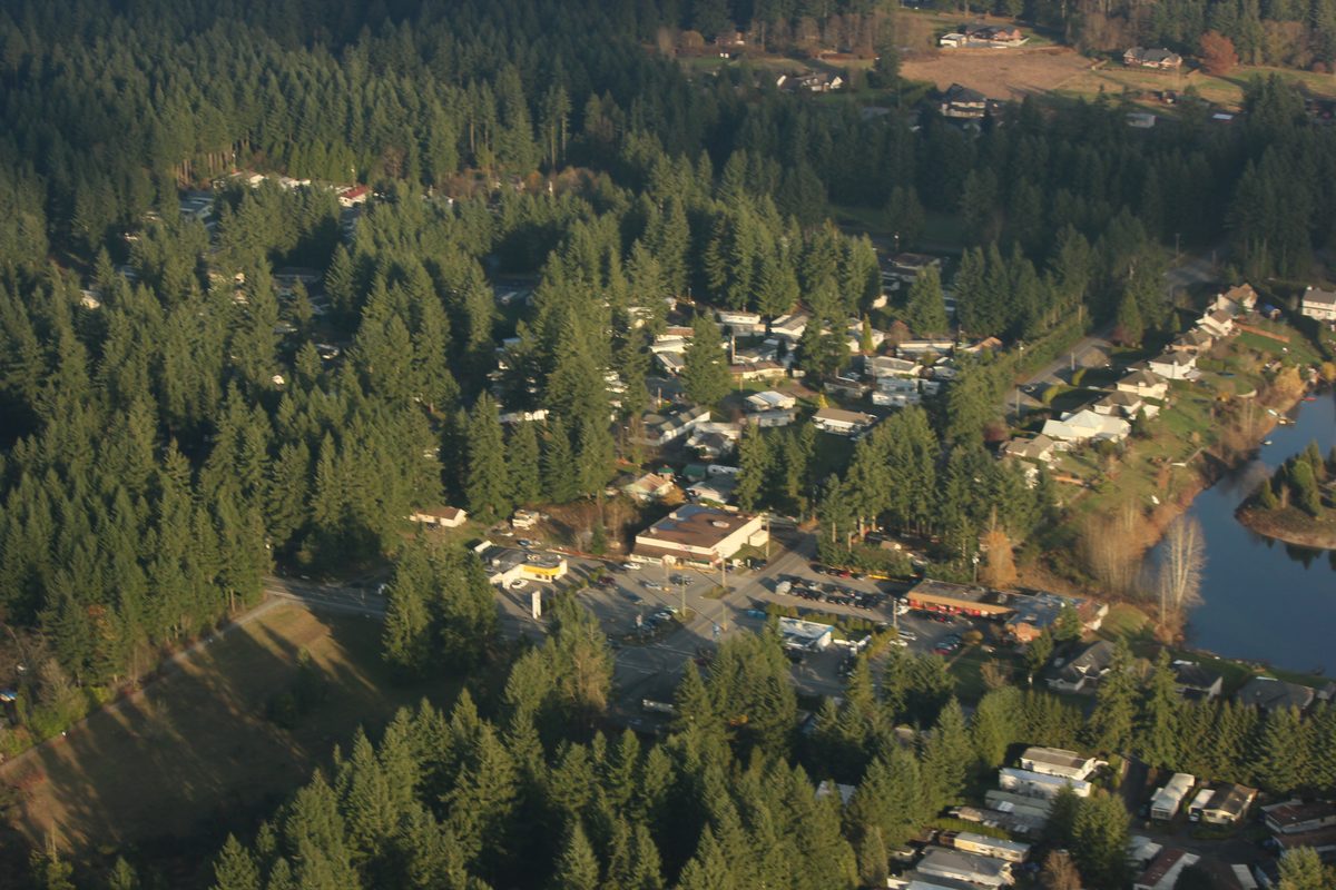
If you live in Brookswood or Fernridge, plan on driving. The buses are real and useful for some trips, especially the 531 on 200 Street, but most of the area is served about once an hour, a good share of roads have no sidewalk, and the nearest rapid transit doesn’t exist yet. Here are the routes, the timings and the street rules that catch people out. All bus details below come from TransLink’s 30 October 2026 timetable data (valid 7 September 2026 to 3 January 2027); always check your own stop and date in the TransLink trip planner. For the regional picture (fares, Compass, the 503), see our Langley transit guide and the Langley-wide getting around guide.
Which buses serve Brookswood and Fernridge?
Gaps below are scheduled intervals at local stops, not real-time promises.
| Route | Where it helps | Weekday peak | Weekday midday | Weekend |
|---|---|---|---|---|
| 531 White Rock Centre / Willowbrook | Campbell Heights, 36 Avenue and 200 Street, Langley Centre and Willowbrook. It doesn’t go south on 200 Street to the 24 Avenue shops. | About 15 to 20 min | About 30 min | About 30 min by day, about 60 min late evening |
| 561 Langley Centre / Brookswood | A residential loop using 200 Street, 36 Avenue, 204 Street, 42 Avenue and 208 Street. Check which direction your stop serves. | About 60 min | About 60 min | About 60 min |
| 563 Langley Centre / Fernridge | 200 Street south of 36 Avenue, the Fernridge loop, then 40 Avenue and 208 Street toward Langley Centre | Northbound at 200 St/24 Ave about every 30 min from 5:23 to 7:53 am, then hourly; southbound generally hourly | About 60 min | About 60 min, with an early Sunday finish |
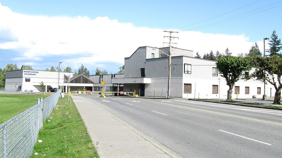
| 840 Brookswood School Special | A school-day service from Langley Centre toward Brookswood Secondary. A Friday sample left Bay 5 at 7:57 am and passed 208 St/40 Ave around 8:15 | One morning trip | None | None |
Fernridge's Sunday limit. At northbound stop 57125 (200 Street and 24 Avenue), route 563 runs about hourly from 7:53 am to 10:53 pm on Saturday, but only from 8:53 am to 5:53 pm on Sunday. The last southbound 563 at 200 Street and 38A Avenue is about 5:43 pm. If you work or have activities on Sunday evenings, you'll need another way home.
For wheelchair users, stops differ even on the same street: in the timetable data, northbound 200 Street at 38A Avenue (stop 58550) is not marked wheelchair accessible, while northbound 200 Street at 40 Avenue (stop 58551) is. That doesn’t tell you about the pavement or crossing between a house and the stop.
How do I get to SkyTrain today, and what changes in 2029?
From Langley Centre, the 503 Fraser Hwy Express and the 395 reach King George Station, and the 501 reaches Surrey Central Station. Two worked examples for Friday 30 October 2026, with at least five minutes allowed at each transfer and no home-to-stop walk or first wait:
| Starting stop and bus | Connection | To King George | To Waterfront |
|---|---|---|---|
| 531 from 200 St/40 Ave at about 7:15 am | 503 at 7:32 am | About 78 min | About 124 min |
| 563 from 200 St/24 Ave at about 7:24 am | 503 at 7:50 am | About 88 min | About 134 min |
These aren’t necessarily the fastest itineraries, but they show the scale: roughly two hours each way to Waterfront by bus and SkyTrain.
The Surrey-Langley SkyTrain’s official target is late 2029. Planned stations include Willowbrook (northeast of 196 Street and Fraser Highway) and Langley City Centre (east of 203 Street and Industrial Avenue), both with bus exchanges. Both are outside Brookswood-Fernridge, and the bus service that will feed them hasn’t been announced. Until then, drivers who want to leave the car and ride use park-and-rides: Carvolth Exchange (20255 86 Avenue, 679 spaces; open 4 am to 2 am, no overnight parking) and the South Surrey park and ride (3800 King George Boulevard, 840 spaces). Both post $2 a day or $40 a month (checked October 2026).
How long does it take to drive places?
These are modelled drive times with no live traffic, from 200 Street and 40 Avenue (Brookswood) and 200 Street and 24 Avenue (Fernridge). They leave out congestion, school queues and construction, so rush hour will be longer.
| Destination | From Brookswood (200/40) | From Fernridge (200/24) |
|---|---|---|
| Downtown Vancouver, Waterfront | 49.5 km, about 54 min | 52.8 km, about 59 min |
| Surrey Central Station | 24.3 km, about 30 min | 28.8 km, about 34 min |
| King George Station | 25.3 km, about 30 min | 27.9 km, about 32 min |
| Abbotsford City Hall | 25.6 km, about 32 min | 28.9 km, about 36 min |
| Langley City centre (203 St/Industrial Ave) | 4.2 km, about 6 min | 7.5 km, about 11 min |
| Future Willowbrook station site | 4.8 km, about 8 min | 8.0 km, about 13 min |
200 Street and 208 Street are the main north-south roads, with 16, 24, 32, 36 and 40 Avenue carrying east-west traffic. The Township’s November 2024 mobility snapshot counted roughly 10,000 to 16,000 vehicles a day on 200 and 208 Street north of 32 Avenue, about 10,000 on 40 Avenue and about 16,000 on 16 Avenue. It flagged congestion on 200 Street, Fraser Highway and Highway 1. Those are dated corridor counts, not a rush-hour forecast.
Is it safe and practical to walk or cycle?
Mixed. The Township’s November 2024 inventory found 73% of roads in Brookswood-Fernridge with no sidewalk or multi-use path, 18% with one on one side and 9% with both. It counted 14.2 km of cycling facilities, but that includes shoulder bikeways, not protected lanes. The commercial corners at 200/40 and 200/24 are good walking destinations for homes close by, but the planned greenways on neighbourhood maps aren’t built paths. Check the whole route from a specific house, including crossings and lighting.
Concerns about traffic calming or crossings go to the Township’s transportation staff ([email protected], 604-533-6006); the Township lists 44 Avenue in front of Alice Brown Elementary as a traffic-calming project in process. Unsafe driving goes to the Langley RCMP (604-532-3200). Bus complaints go through TransLink’s feedback form.
What road changes are planned?
An April 2026 draft Transportation and Mobility Strategy recommends four lanes on 200 Street (16 to 36 Avenue), 208 Street (16 to 45A Avenue), 24 Avenue (196 to 208 Street) and 32 Avenue (196 to 210 Street), plus a new 32 Avenue connection between 210 and 212 Street. The project page’s latest update is dated 22 July 2026. We haven’t found final adoption or funded schedules for those corridors, so treat them as proposals; project questions go to [email protected].
The Township’s capital project map also lists a watermain replacement at 207A Street and 32 Avenue (August to December 2026 projection, possible lane closures) and a sewer lift station and forcemain on 24 Avenue between 196 and 200 Street. The map’s dates are projections, so check the Township’s traffic impacts page and our Langley road closures page for what is actually closed.
Parking in Brookswood and Fernridge
Big lots and wide verges don’t make every spot legal. The Township has no resident-only permit parking, so the curb outside your house is not reserved for you. These rules (checked October 2026) matter most on uncurbed streets and for households with boats or RVs:
| Situation | Rule |
|---|---|
| Vehicle on the street | Maximum 72 continuous hours in the same place, unless a sign says less |
| Grass or gravel boulevard | Parking is prohibited; check where your property line ends |
| Clearances on streets without curbs | At least 1 m from a driveway, 5 m from a hydrant or community mailbox, 8 m from an intersection |
| RV or trailer on the street | 48 hours in total per calendar year across Township streets; moving it doesn’t reset the clock; no sleeping in it |
| Boat or utility trailer | A trailer (boats on trailers included) can’t be left on a road unless attached to a vehicle |
| RV or boat on a residential lot | Usually rear or side yard behind the front setback. 1 April to 30 September, the front driveway may be used with 1.6 m of clearance from the sidewalk or pavement edge. Check your zone |
Renting a suite? A landlord isn’t required to include off-street parking, so get the spaces in writing (renting tips). We haven’t found a published parking-occupancy survey for Brookswood or Fernridge, so check your block at the hours you’d actually park. The Township received its parking study on 9 February 2026 and directed selected recommendations into implementation; that doesn’t mean any Brookswood rule has changed. Report parking violations through the Township’s bylaw complaint form. More on Langley parking.
Back to the Brookswood-Fernridge overview, or see the parks and pros and cons pages.
Questions people ask about Brookswood & Fernridge
Which buses go through Brookswood?
How often does the 563 run?
How long does it take to get from Brookswood to Vancouver?
When is SkyTrain coming to Langley?
Is Brookswood walkable?
How long can I park on the street in Brookswood?
Can I park an RV in my driveway?
Are there park and rides nearby?
Last checked October 29, 2026. Things change fast in a growing area: confirm anything important (catchments, rents, bus times) with the official source linked. Spotted something out of date? Tell us.