- Where
- Roughly 196 to 212 St and 32 to 44 Ave, centred on 200 St and 40 Ave
- Typical lot
- About 929 m² in Traditional Brookswood; 650 to 930 m² across the developed north
- Elementary schools
- Belmont, Noel Booth and Alice Brown (check the locator)
- Buses
- 531 on 200 St, 561 loop; about 15 to 60 min depending on route
- Anchors
- Buy-Low Foods, Brookswood Library, George Preston Recreation Centre
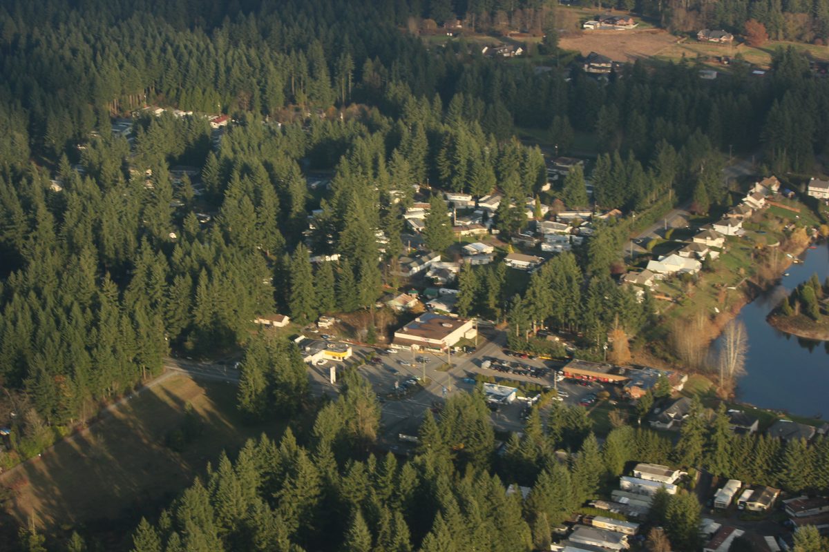
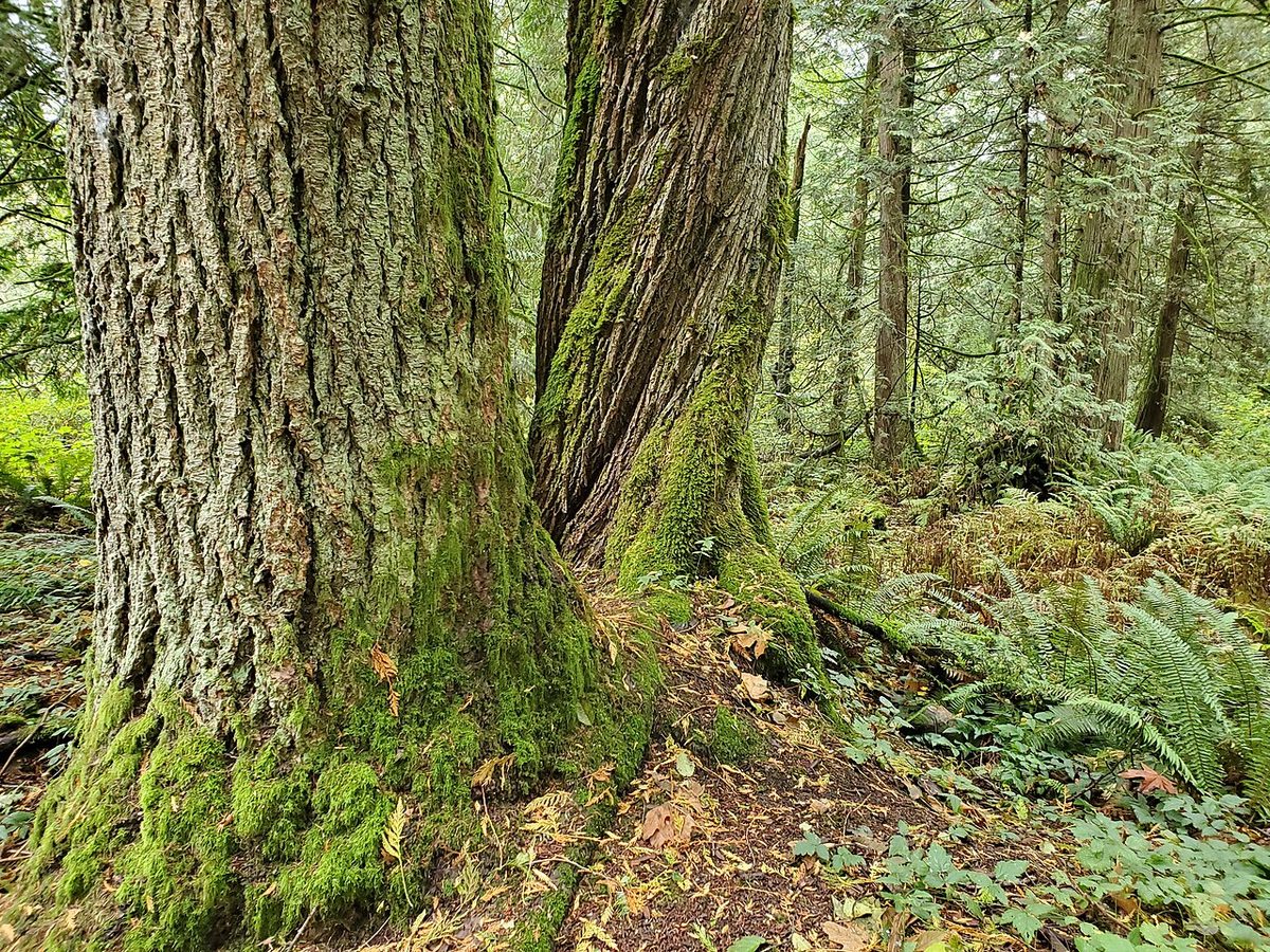
Brookswood is the older, settled half of the community: curving streets, big conifers, detached houses on lots of roughly 929 m² and a village where you can still buy groceries, collect a parcel and return a library book in one trip. The Township’s plan describes the area as developed mainly from the late 1960s to the mid-1990s, and across the developed north the plan puts typical lot sizes at about 650 to 930 m². It is part of the wider Brookswood-Fernridge community; its southern neighbour is Fernridge.
Where is Brookswood?
Think of it as the area around 40 Avenue between about 196 and 212 Street, with the City of Langley boundary near 44 Avenue to the north. The Township’s formal “Traditional Brookswood” designation covers roughly 196 to 208 Street, from the City boundary south to stepped edges along 33A, 36 and 42 Avenue. East of 208 Street is Cedar Ridge, a later-developed area near 43 and 44 Avenue. South of about 33A and 36 Avenue is the Booth plan area, and the Rinn plan area follows 208 Street (including a pocket around 40 to 42 Avenue); change is planned in both. These are orientation lines, not legal descriptions: check a lot on the Township’s map.
What’s it like to live there?
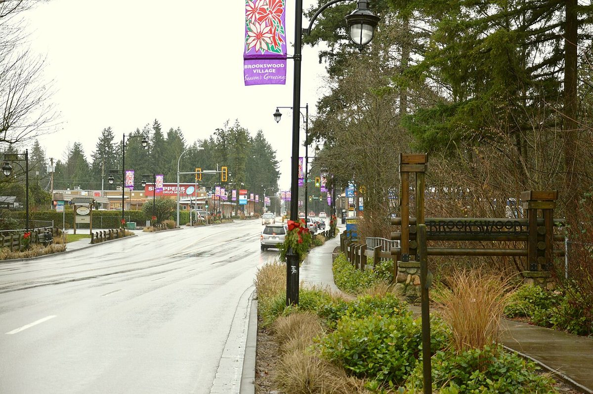
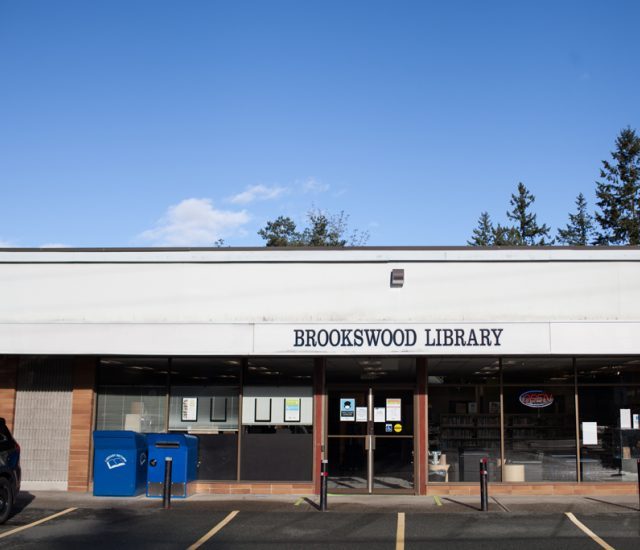
Quiet streets, mature trees and a lot of lawn. Some roads have sidewalks; most don’t (73% of the community’s roads have no sidewalk or path, per the Township’s November 2024 count). Daily errands happen at Brookswood Village, the shopping node at 200 Street and 40 Avenue: Buy-Low Foods (4121 200 Street), Shoppers Drug Mart with a post counter (4030 200 Street), Remedy’sRx, dental and medical offices, Brookswood Brewing and the library at 20045 40 Avenue. A smaller cluster sits at 208 Street and 40 Avenue. Full list on shops and services.
A few small historical notes from the Township’s 2017 history report: a post office opened in Brookswood in 1925, and the Brookswood Club Association Hall of the 1930s became a community theatre building in 1972. The Brookswood Senior Centre, now at 19899 36 Avenue, dates its start to October 1974.
What are the homes like?
Mostly detached houses, many of them 30 to 50 years old, which means checking permits, septic or sewer records, trees and drainage before you buy (see housing). Traditional Brookswood keeps a 10,000-square-foot minimum lot size. Cedar Ridge’s sewer connects to the City of Langley’s system; many other older properties were built on septic. In Traditional Brookswood, the Township’s small-scale multi-unit housing rules only apply where municipal water and sewer are available, among other conditions, so a big lot isn’t automatically a development opportunity.
Which schools serve Brookswood?
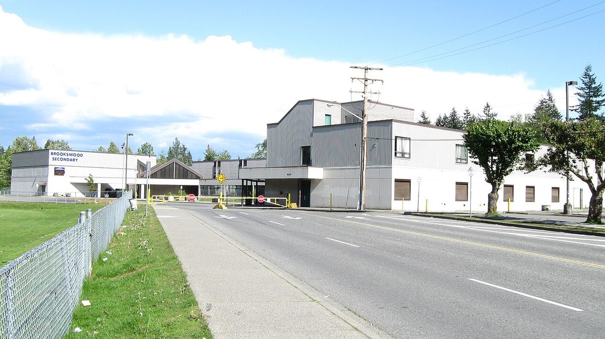
Belmont Elementary (20390 40 Avenue; neighbourhood and early French immersion) covers central and eastern Brookswood. Noel Booth Elementary (20202 35 Avenue; late French immersion in Grades 6 and 7) covers the west and south. Alice Brown Elementary (20011 44 Avenue, in Langley City) covers the northern edge. They feed Brookswood Secondary (20902 37A Avenue). Langley Fundamental Middle & Secondary (21250 42 Avenue) is nearby but is a choice school. Check the exact address in SD35’s locator and see the schools page.
Parks, recreation and getting around
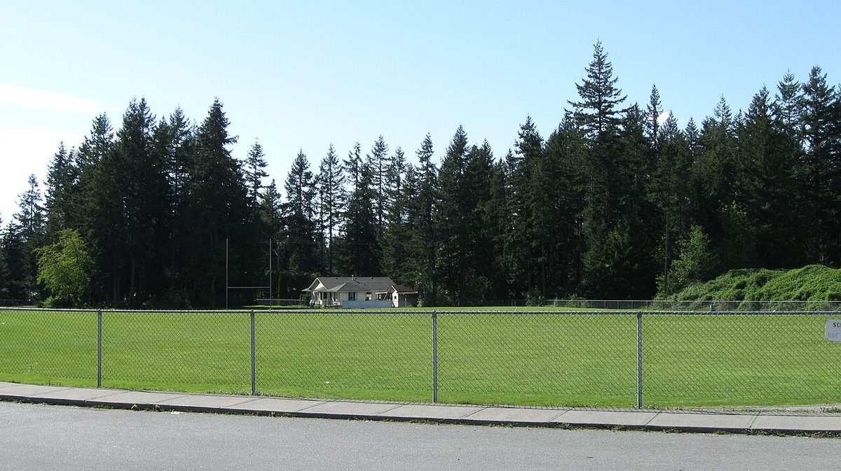
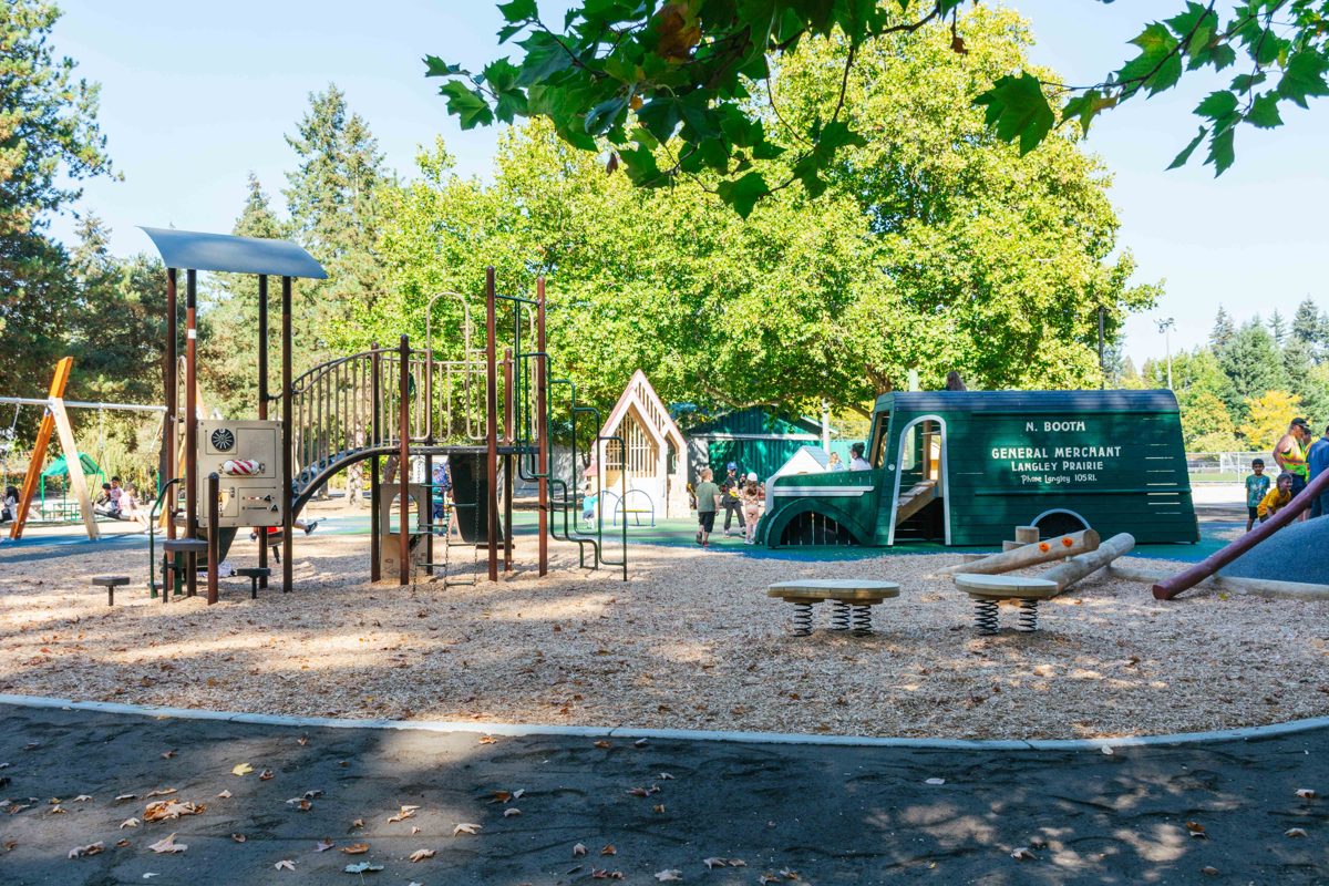
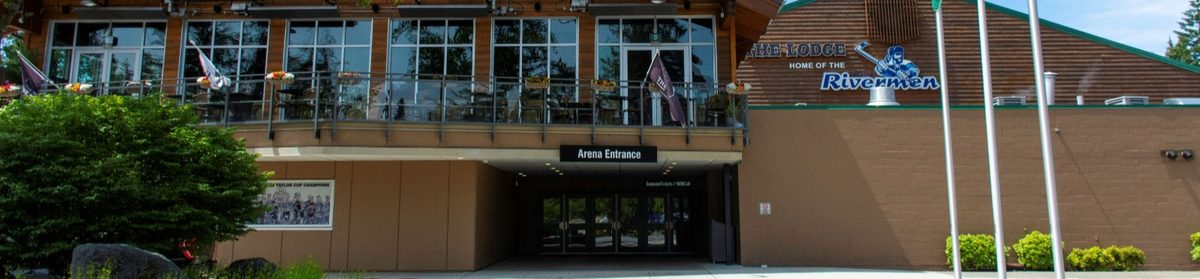
Noel Booth Community Park (36 Avenue and 202 Street), Brookswood Park (4001 200 Street, with a spray park), Bell Park and East Brookswood Park cover fields and play. George Preston Recreation Centre at 20699 42 Avenue has the ice arena and curling; its lobby is also the new home of Cedarbrook Bakery. Campbell Valley Regional Park lies just south of Fernridge. See parks.
Route 531 (about every 15 to 20 minutes at peak) runs along 200 Street and 36 Avenue. The 561 loops through the neighbourhood about hourly. A drive to Langley City’s centre is about 6 minutes (modelled, no traffic). Details are on the getting around page.
What to know
- Change is concentrated at the edges. Applications near 200 Street and 32 Avenue include about 447 apartments (three readings 23 February 2026) and 125 townhouses (applied 16 June 2026). The established core isn’t the target of those proposals.
- Cedar Ridge’s marketing name doesn’t set a development boundary, permanent view or future neighbouring use. Compare your parcel with both the land-use and servicing maps.
- Rinn’s habitable-basement rules matter along 208 Street: some parcels need technical studies and some are not allowed a habitable basement because of groundwater.
- Weekends: the library is closed Sundays and Mondays.
See the pros and cons for the broader balance sheet.
Questions people ask about Brookswood
Where does Brookswood start and end?
What is Cedar Ridge in Brookswood?
Which elementary schools serve Brookswood?
Is Brookswood on septic or sewer?
What is there to do in Brookswood?
Is Brookswood changing?
Last checked October 29, 2026. Things change fast in a growing area: confirm anything important (catchments, rents, bus times) with the official source linked. Spotted something out of date? Tell us.