- Municipality
- Township of Langley (City vs. Township)
- Population
- About 3,800 (Township estimate, 2025 annual report)
- Where
- South bank of the Fraser River, at the north end of Glover Road, about 6 km north of Highway 1 (Exit 66)
- Homes
- Detached houses, townhouses, small mixed-use apartment buildings and rural acreage
- Public schools
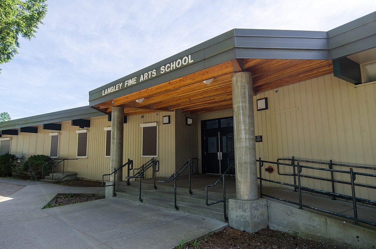
- Fort Langley Elementary (K-7), Langley Fine Arts School (K-12, by application), D.W. Poppy Secondary (8-12)
- Bus
- Route 562: about every 20 minutes on weekdays, about hourly on Sundays
- Library
- Fort Langley Library, 23430 Mavis Avenue (in salishan Place)
Fort Langley has about 3,800 residents, one main street, one grocery store, one elementary school and a railway line you can hear from some bedrooms. Most people who live here love exactly that scale. If you want to walk to a pharmacy, a coffee and the river, it is one of the easiest places in Langley to do it. If you want quiet every single Saturday, you will need to choose your street with care.
Is Fort Langley a good place to live?
Often yes, with a caveat that is bigger here than elsewhere in Langley: the answer changes block by block. A home in the village core or in Bedford Landing puts a family-run grocery, a pharmacy, a bookstore-café and the Bedford Channel trail within a walk. A rural-edge property can give you acreage and silence, and a long drive to everything. In between sit the older streets around Trattle, Bartlett and Church, close to school and park but also to the event-day action.
The trade-offs are specific rather than vague: festival and weekend visitor traffic, an active CN rail line, flood-hazard checks for low-lying land, Sunday buses that run once an hour, and heritage rules that limit what you can do to some properties. We lay them out, with who they affect and where to raise them, on the pros and cons page.
Where is Fort Langley?
Fort Langley is in the Township of Langley, not Langley City. The Township’s community plan draws the village area as an irregular shape: Bedford Channel to the north, roughly the Wright Street side to the west, the Hudson Bay Street and National Historic Site side to the east, and about 88 Avenue to the south, with a few parcels beyond that line. Glover Road is the spine, and Mavis Avenue runs east from it to the fort.
Two things worth knowing about the map:
- A Fort Langley mailing address does not always mean the village. Rural lots toward Derby Reach, the Salmon River side and River Road (toward Glen Valley) carry the name too, and they need different checks from a village condo. Forest Knolls, an acreage area south of the village, is covered on our rural Langley page.
- Across the Jacob Haldi Bridge is McMillan Island. It holds Brae Island Regional Park and the Kwantlen First Nation community. Reserve land is not an ordinary Township subdivision, so use the park’s mapped public access only.
By road, Fort Langley is about 46 km from Vancouver (roughly 40 minutes in light traffic by a routing estimate; plan on more at rush hour), about 21 km from Surrey Central Station and about 10 km from Langley City.
How many people live in Fort Langley?
The Township’s 2025 annual report gives a community estimate of 3,822. Earlier Township figures were 3,420 in 2016 (up from 2,380 in 2006, a rise of about 44% over that decade, which overlaps with Bedford Landing’s build-out) and 3,435 in the 2021 community plan. Because they come from different Township sources and boundaries, treat them as a rough sense of size, not a precise growth rate.
The 2016 profile also gives a sense of who lived here: 1,270 households, of which 745 were one- or two-person households (nearly six in ten), and 710 residents aged 65 or older (about 21%). Those numbers are a decade old, so we use them for flavour, not planning.
The parts of Fort Langley
None of these are official neighbourhoods with legal boundaries, apart from the Township’s own heritage and development-permit maps. They are the descriptions residents and buyers actually use.
| Area | What it is like |
|---|---|
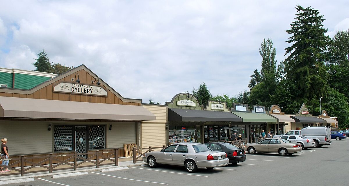
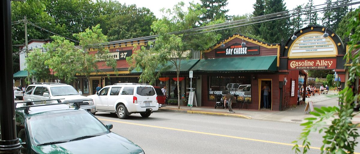
| Village core (Glover Road and Mavis Avenue) | Shops, cafés, the community hall and small apartment buildings above or beside them (Coulter Berry on Glover, Lily Terrace around Glover, Francis and Church). Walkable, and closest to event-day crowds. |
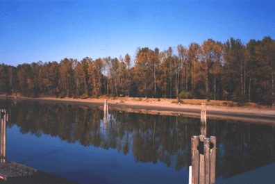
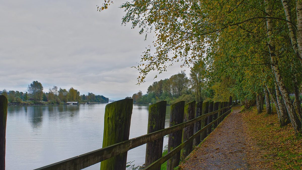
| Bedford Landing | Former mill land between the CN tracks and Bedford Channel, west of Glover. Detached, row and apartment homes, built mainly between the late 2000s and about 2012, with the channel trail at the door. |
| Established blocks west of Glover | Trattle, Nash, Wright, Hadden and neighbours between roughly 88 and 96 Avenue. Mostly detached homes. Langley Fine Arts School and Fort Langley Community Park anchor it; the 562 bus uses Trattle and 88 Avenue. |
| Established blocks east of Glover | Bartlett, Royal, King, Queen, Church and Hudson Bay streets. Fort Langley Elementary, the historic site and salishan Place are nearby. |
| Rural edges | Allard and McKinnon crescents near Derby Reach, the Salmon River side, and River Road toward Glen Valley. Larger lots, often with septic, possibly in the Agricultural Land Reserve. |
| Forest Knolls | A recognised acreage locality south of the village, usually placed between Glover Road and 232 Street around 76-80 Avenue. Not the village core. See rural Langley. |
What are the homes like?
Detached houses dominate the established streets, a mix of older homes and replacements. Bedford Landing adds townhouses, row homes and apartments, and the core has small mixed-use buildings of nine to 24 homes. The 2026 benchmark prices we can give are Langley-wide, not village-only, and we show them with the caveats on the housing page. We haven’t found any confirmed purpose-built rental buildings in the village, so rentals are most likely suites, strata units and whole houses. One thing to learn early: “heritage style” is a look, not a legal status. Check the actual protection on any property before planning work.
What does daily life look like?
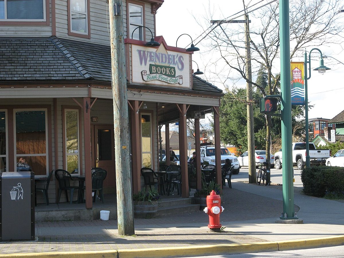
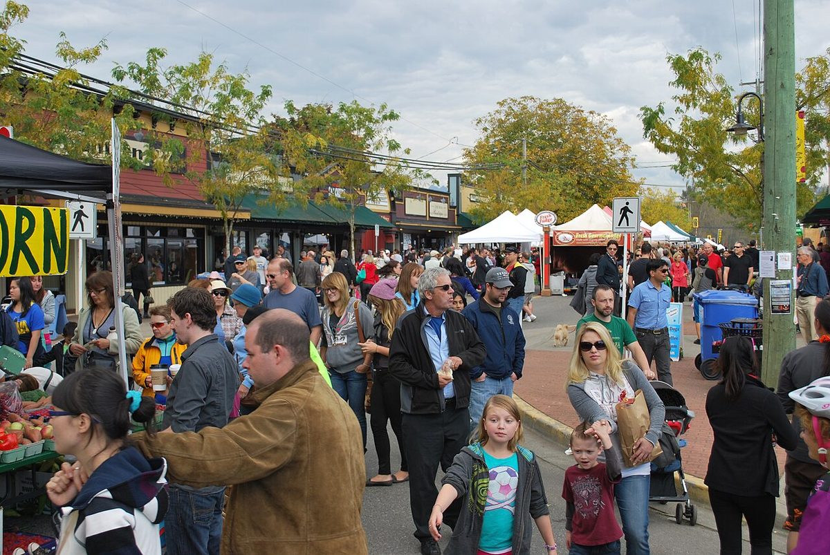
- Groceries and errands. Lee’s Market on Mavis Avenue (family-owned since 1975), a pharmacy on Mavis, Wendel’s bookstore and café, a bakery and coffee roaster, and a Saturday farmers’ market. Bigger shops are a drive away in Walnut Grove. See shops and services.
- School. Fort Langley Elementary is on Bartlett Street, with D.W. Poppy Secondary outside the village and Langley Fine Arts School by application. See schools.
- Outdoors. Community Park with a spray park and courts, the channel-side trails, Brae Island and Derby Reach Regional Parks, and rowing clubs. See parks and recreation.
- Getting around. The 562 bus, a car for most trips, and a rail line to cross. See getting around and our Langley-wide parking guide.
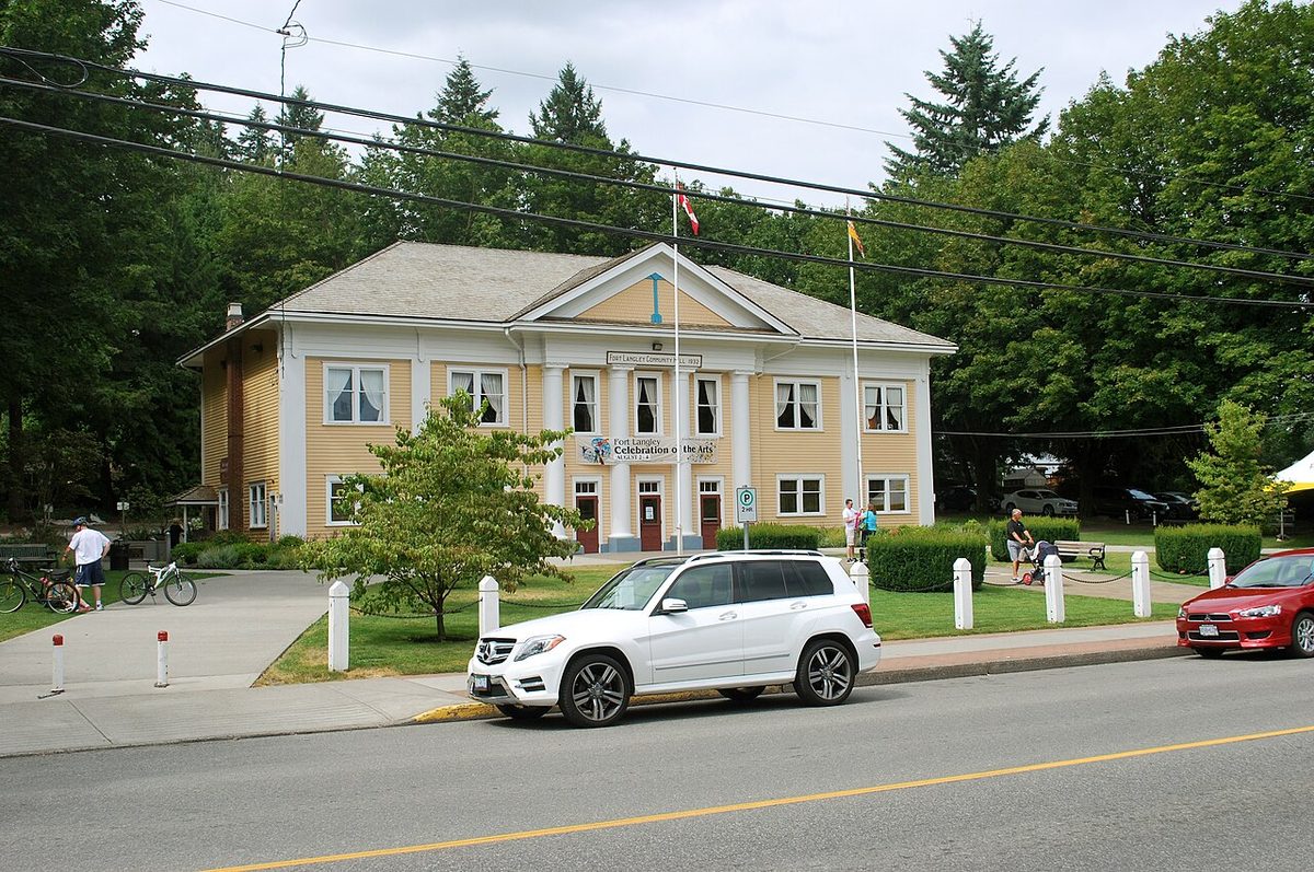
- Library and culture. The library and the Langley Centennial Museum are inside salishan Place by the River, and the 1931 community hall runs classes and events.
Who Fort Langley suits
- Walkers and village lovers, especially in the core and Bedford Landing, where the daily errands are a short trip.
- Rowers, paddlers and trail walkers, who have the channel, Brae Island and the Fort-to-Fort Trail close by (with seasonal closures).
- Downsizers and retirees who want a hall, a library and a close community, as long as they check parking and local doctor access.
- Families who want a small elementary school nearby. Note that Langley Fine Arts School next door is by application only, and high school is at D.W. Poppy, outside the village.
It can be a harder fit for car-free shift workers (Sunday and evening buses are limited), for anyone expecting constant quiet beside a river with a railway and an events calendar, and for buyers hoping to demolish or add several homes without checking heritage, sewer and flood conditions first.
Good to know before you move
- Weekend and event-day parking is tight near the core. The Township has no resident-only street permits, so street frontage isn’t reserved for the house beside it.
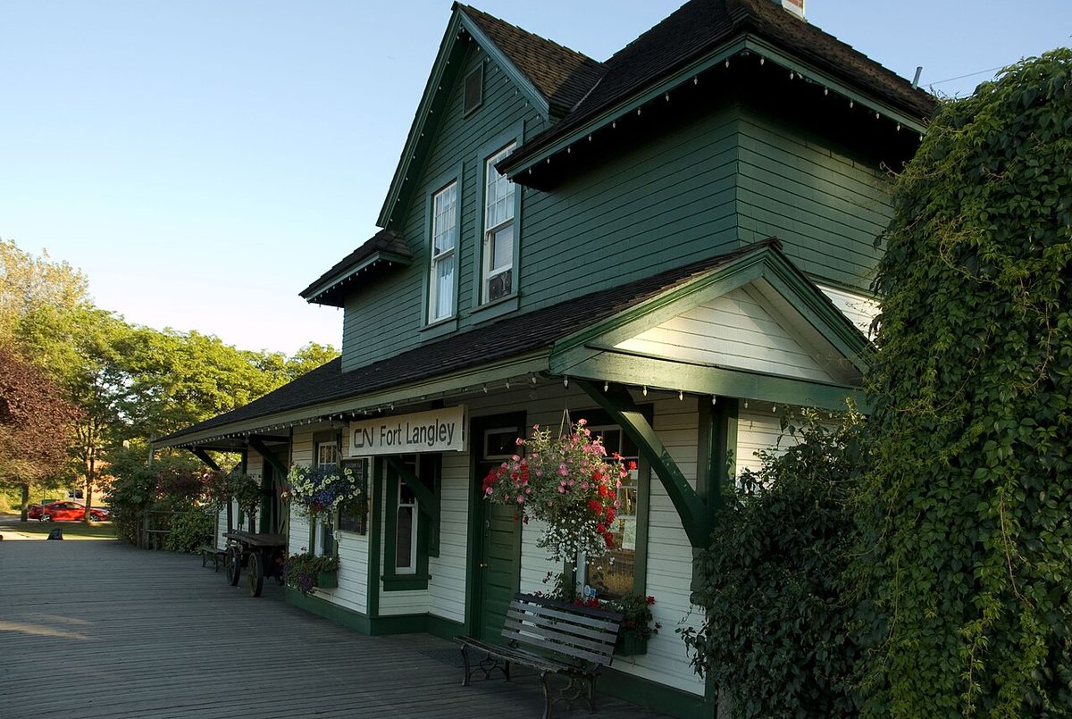
- The railway through the village is the CN line, with a public crossing on the Glover approach. Visit at different times of day.
- Parts of the village and surrounding lowlands are in a mapped flood hazard area. Salmon River dike work is under way in 2026 and the pump station is due in 2027.
- Heritage protection varies from property to property, and so does sewer versus septic.
- There is a village family practice, but it is not taking new patients, and there is no walk-in clinic in the village. The urgent and primary care centre is on 64 Avenue.
Each of these gets a fuller treatment, with who to contact, on the pros and cons page.
Start here
- Buying and renting in Fort Langley
- Schools and childcare
- Getting around, buses and parking
- Parks, trails and recreation
- Shops, health and services
- Pros and cons of living in Fort Langley
- Bedford Landing
- Langley-wide: moving to Langley, buying a home, renting, health care
- Visiting instead? Our Fort Langley village guide covers the fort, the heritage walk and the festivals.
Questions people ask about Fort Langley
Is Fort Langley a good place to live?
Is Fort Langley in Langley City or the Township?
Is Fort Langley safe?
How far is Fort Langley from Vancouver?
What is Fort Langley known for?
How many people live in Fort Langley?
Is Fort Langley expensive?
Is Fort Langley close to Walnut Grove?
Is there a SkyTrain station in Fort Langley?
What is the difference between Fort Langley and Bedford Landing?
Last checked October 29, 2026. Things change fast in a growing area: confirm anything important (catchments, rents, bus times) with the official source linked. Spotted something out of date? Tell us.