- Where
- Between the CN railway and Bedford Channel, west of Glover Road; Billy Brown Road is the main internal street
- Built
- Late 2000s to about 2012 (the architect lists completion in 2012)
- Homes
- Detached, row-style and apartment homes; The Village at Bedford Landing has 70 apartments and eight townhomes
- Elementary school
- Fort Langley Elementary, 8877 Bartlett Street, south of the railway
- Check first
- Railway noise, flood mapping, your actual strata boundary, visitor parking
Bedford Landing used to be mill land. Today it is a neighbourhood of detached, row-style and apartment homes laid along Billy Brown Road, with the water on one side and the CN tracks on the other. The upside is that the channel-side trail and the rowing clubs are practically at your door, and the village’s shops are a short walk. The things to price in are the railway, the flood map and the strata paperwork. For the whole village, see the Fort Langley overview.
Where exactly is Bedford Landing?
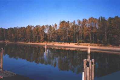
It sits between the CN railway to the south and Bedford Channel, a branch of the Fraser, to the north, west of Glover Road. Billy Brown Road is the main street running through it. The older residential blocks (Trattle, Bartlett, Church and the rest) are on the other side of the tracks, and the village’s main shops are a short walk east along Glover and Mavis.
Bedford Landing is a development name that has become a local place name, and the Township’s trail and park maps use it. We haven’t found a municipal boundary record for its internal phases, so don’t treat phase labels in an advertisement as separate official neighbourhoods. The community plan does draw a separate development-permit boundary around it.
What are the homes like?
The main build-out ran from the late 2000s into the early 2010s, and the project architect lists the neighbourhood as completed in 2012. It isn’t one housing type. The wider development has detached and row-style homes, and The Village at Bedford Landing, a separate Billy Brown Road project, has 70 apartments and eight townhomes (the architect’s project description). Whether a “Bedford Landing” home is freehold or strata, and what maintenance is shared, is a question for the title and strata plan, not the name.
For price context and the full list of checks, use our Fort Langley housing page. For the strata part, ask for the depreciation report, recent minutes, insurance and deductible details and repair history. We found no defect common to all Bedford Landing buildings and aren’t suggesting one.
What’s nearby?
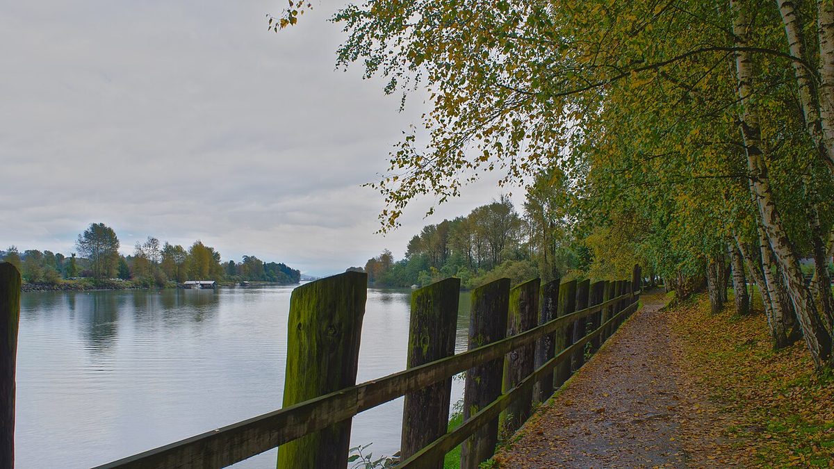
- The channel and trails. The Fort-to-Fort Trail starts here and heads west along the channel toward Derby Reach (the trailhead is on the river side of Billy Brown Road). Rowing is local too: the Fort Langley Youth Rowing Society’s boathouse is on the channel west of Glover Road, reached from Billy Brown Road, and the Fort Langley Community Rowing Club offers adult rowing. See parks and recreation.
- The waterfront plaza. The Township’s directory lists a Bedford Landing park and trail area at 22801 96 Avenue, and the channel-side plaza is a separate space. One directory pin isn’t the entrance to everything, so use the Township’s map.
- Salmon River Natural Area. At 96 Avenue and Billy Brown Road, with trails, viewing decks and washrooms. In 2026, dike construction overrides normal access.
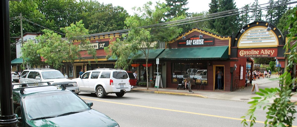
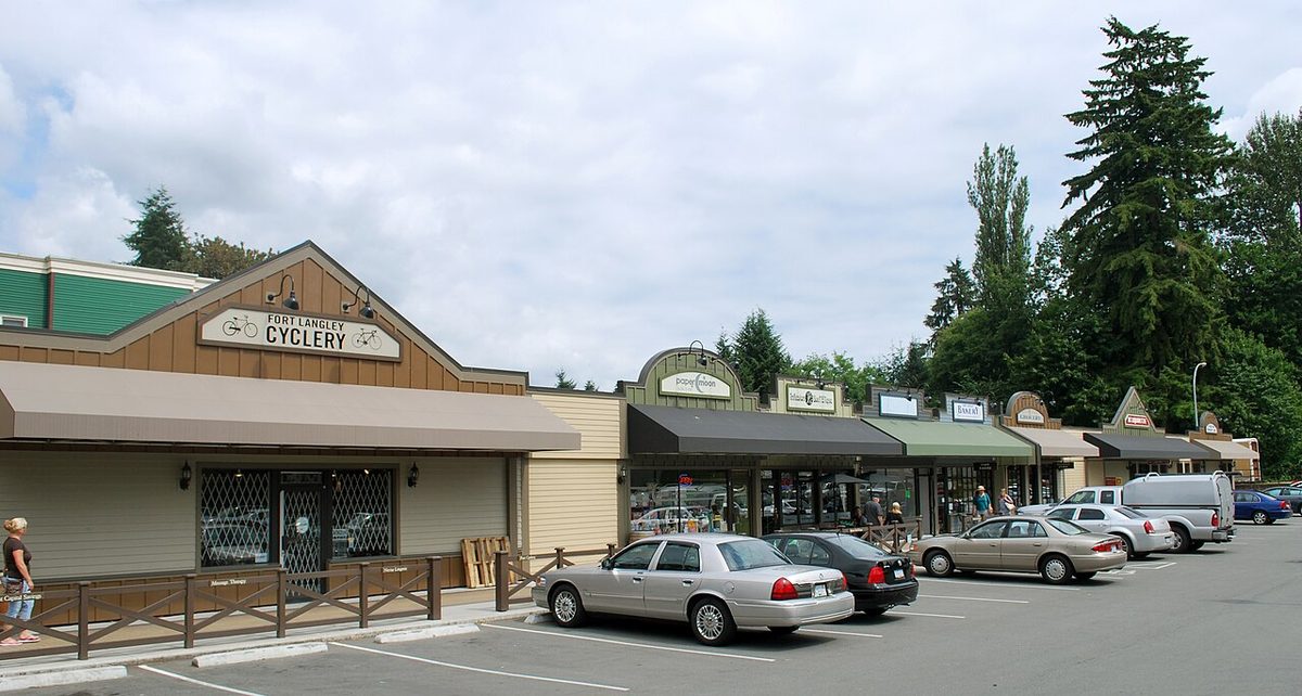
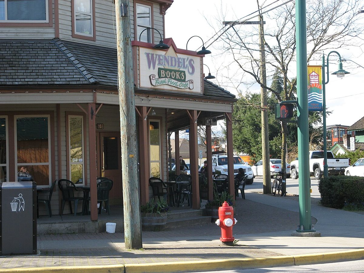
- Shops. Lee’s Market on Mavis Avenue, the pharmacy, Wendel’s and the cafés are in the core; see shops and services.
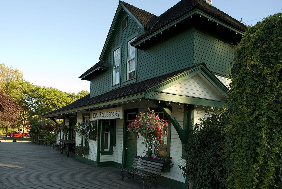
- The National Historic Site and salishan Place are on Mavis Avenue, east of the core.
Schools and getting around
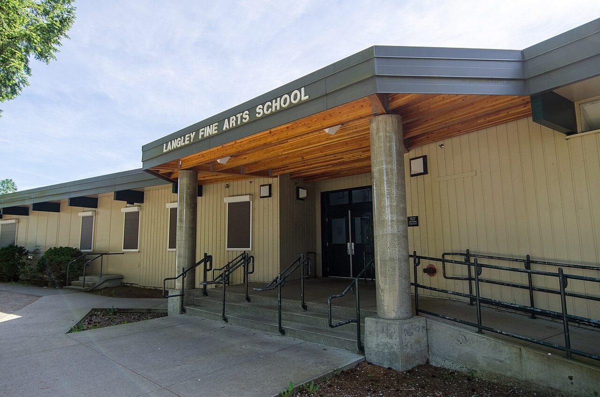
Fort Langley Elementary on Bartlett Street and Langley Fine Arts on Trattle are south of the tracks. Families should walk the whole route at school-run time and find the legal public crossing; a riverside trail isn’t a dependable all-weather school route while dike works close the western connection in 2026. Details and catchment advice are on the schools page.
For the 562 bus, the village stops are at 96 Avenue and Glover Road. Check the walking route from your door, across the railway if needed, and the Sunday timetable, which is about hourly. See getting around.
Things to know
- Trains. The active railway is CN’s. We found no train counts or village quiet-zone exemption. Visit at several times of day.
- Flood mapping. The Township’s flood hazard map is only a first screen; ask for the parcel’s flood requirements. The 2026 dike work and the pump station due in spring 2027 reduce risk but aren’t property guarantees. See pros and cons.
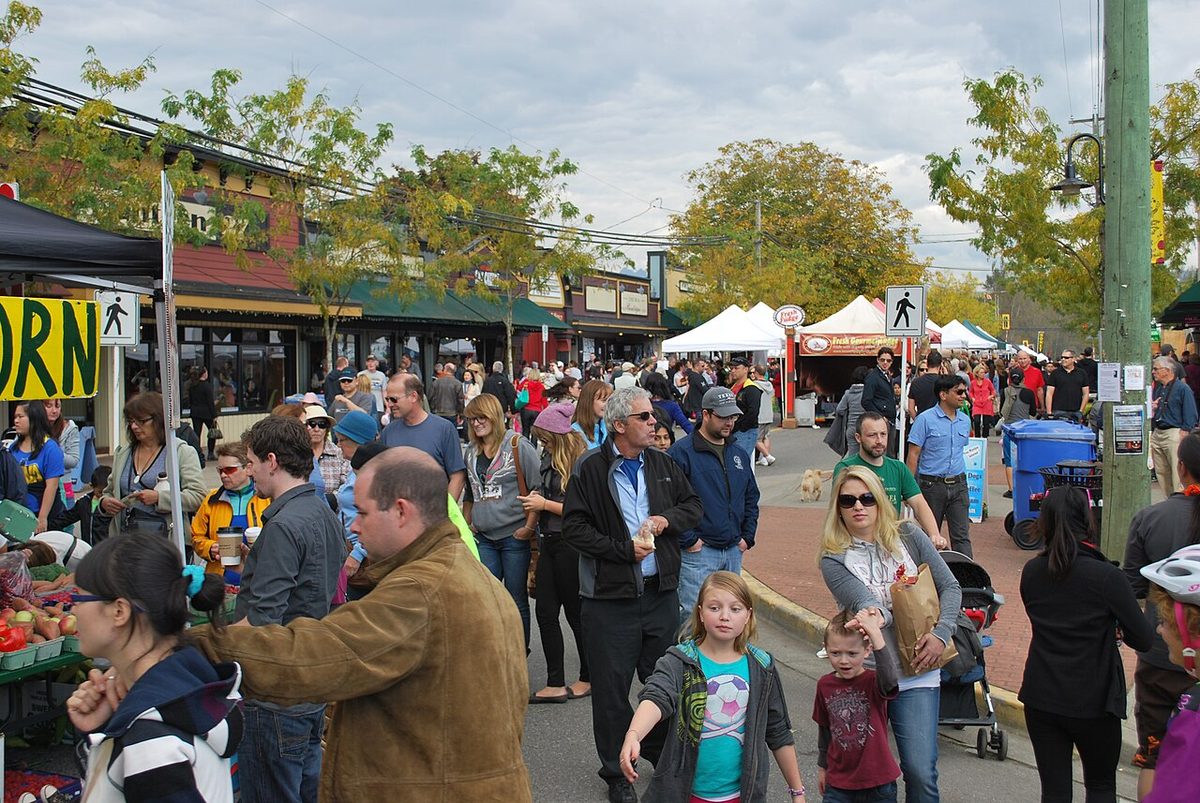
- Visitor parking. Event days bring traffic close to the neighbourhood. Billy Brown Road traffic calming (four raised crosswalks and six speed humps) was approved in July 2024; we couldn’t confirm that every measure is in place, so look at the street yourself. Visitor stalls in a strata are set by the strata’s rules.
- Trail closure. Reopening dates conflict between Township pages. Treat the trail as closed until the Township says otherwise.
Who it suits
People who want the village and the channel at walking distance in newer construction, rowers, and anyone who is happy to inspect the rail and flood details before committing. It’s a harder fit if you need uninterrupted quiet or dependable rail-free routes for small children.
Related pages
Fort Langley overview · Housing · Getting around · Fort-to-Fort Trail · Village guide
Questions people ask about Bedford Landing
Where is Bedford Landing in Fort Langley?
Is Bedford Landing noisy because of the train?
What kinds of homes are in Bedford Landing?
Does Bedford Landing flood?
What school do Bedford Landing kids go to?
Is the trail by Bedford Landing open?
Last checked October 29, 2026. Things change fast in a growing area: confirm anything important (catchments, rents, bus times) with the official source linked. Spotted something out of date? Tell us.