- Municipality
- Township of Langley (not Langley City)
- Where
- South of Highway 1, between Surrey and the farmland edge; start with 196 to 216 Street and check the Township’s map for the southern edge
- People
- About 55,000 in 2026 (Township planning estimate, not a Census count)
- To Vancouver
- About 47 km to Waterfront Station; 45 to 80 minutes by car on a Friday 8 a.m. (modelled)
- Transit
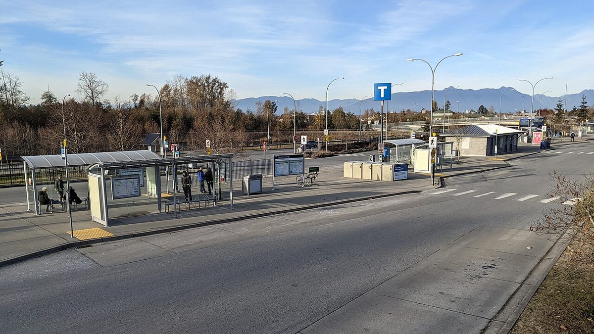
- Carvolth Exchange, 20255 86 Ave: route 555 to Lougheed SkyTrain. Future SkyTrain stations are on Fraser Highway, late 2029 target
- Check an address
- SD35 school locator
- Big change
- New Willoughby plans adopted 15 June 2026
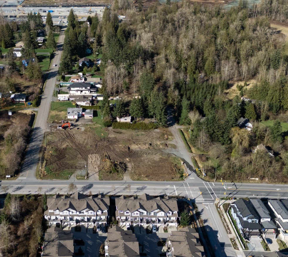
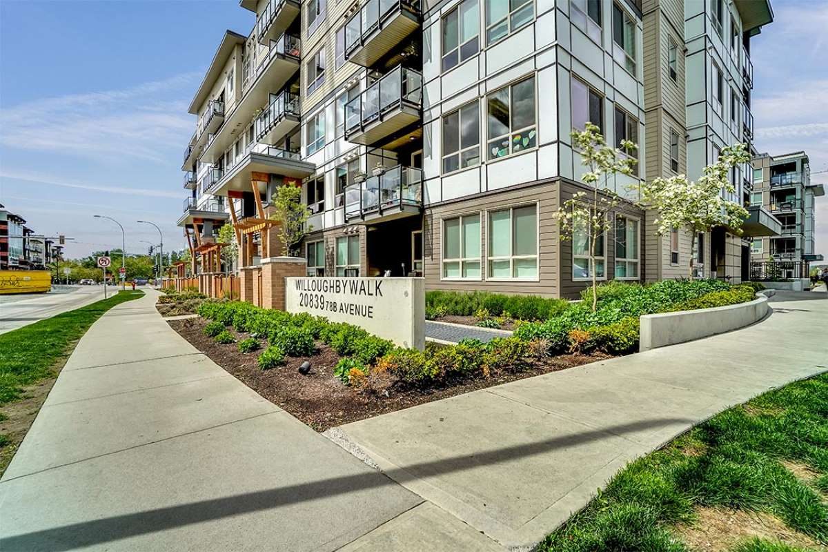
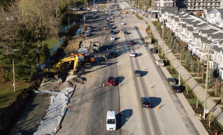
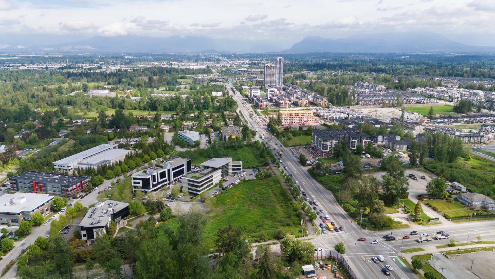
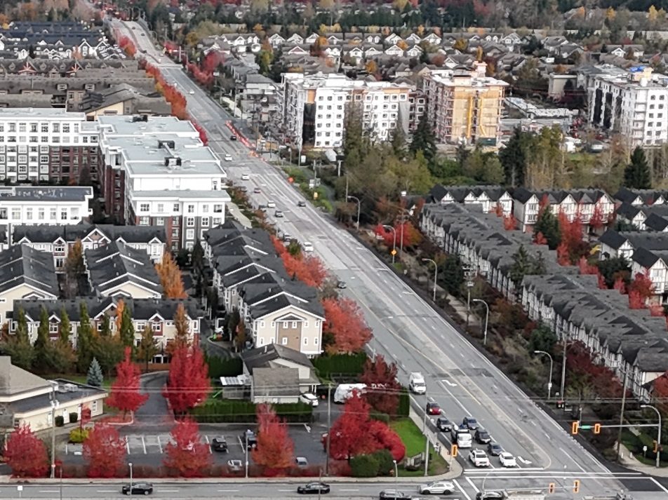
Willoughby is the part of Langley you can watch being built. Some streets here were finished a decade ago and have mature trees and kids on bikes. A few blocks over, a townhouse complex is still getting its roof on. The Township estimates about 55,000 people live here in 2026, which makes it the Township’s largest growth area and, by a distance, the most searched part of Langley.
Is it a good place to live? For households that want newer housing, a school and a park close to home, and a Town Centre with a grocery store, it often is. For people who want frequent buses, a quiet street with an unchanging view, or a guaranteed spot at the nearest school, it takes more checking than the marketing suggests. The rest of this page is how to do that checking.
Where is Willoughby, exactly?
Willoughby is in the Township of Langley, not Langley City. Highway 1 is the northern edge, with Walnut Grove on the far side. Surrey is to the west. To the south and southeast it runs into Willowbrook and, further out, farmland. The Township’s plan describes the southern boundary as following 68 Avenue and the Trans Mountain pipeline right-of-way, and the east as 216 Street and the Willowbrook Connector.
For a quick mental map, think 196 to 216 Street, south of Highway 1. It isn’t a tidy rectangle, though. If you are looking at an address near the southern or southeastern edge, check the Township’s plan map before assuming it counts as Willoughby. Real estate listings that say “Willoughby Heights” can reach into those southern areas too; we explain that on our Willoughby Heights page.
The City vs. Township explainer covers why the municipality matters for taxes, parking rules and who to call.
How big is it, and how fast is it growing?
The Township’s Willoughby plan puts the 2026 population at about 55,000. The plan also says the area could eventually hold 87,000 to 110,000 people. That is capacity, not a forecast with a date on it.
We would be careful with any single “Willoughby grew X%” figure. The older Census-based profiles used different boundaries, so they don’t line up. The cleanest comparison we can give is the whole Township: 117,285 people in 2016 and 132,603 in 2021, up 13.1%. Willoughby is where much of that growth landed.
How built-out each neighbourhood is varies a lot. The Township’s September 2025 planning review estimated Routley at about 93% built, Yorkson 82%, Latimer 35%, Smith 3% and Williams 0%. Those are shares of developable land, not counts of occupied homes, but they tell you where the cranes are.
What are the homes like?
A mix. Detached houses, duplexes and rowhouses, townhouses and apartments all appear in the Township’s plans. Yorkson (detached homes, townhouses and apartments) and Routley (mostly detached homes and townhouses) are largely finished. Latimer and Carvolth are adding townhouses, apartments and mixed-use buildings. Gordon and Williams still have older, larger parcels beside new development.
No current Willoughby-only owner and renter split is published that we could find. Across the whole Township in 2021, about 82% of households owned and 18% rented, but new rental buildings since then mean that split will have shifted. Prices and rents have their own pages: buying in Willoughby and renting in Willoughby.
The rules changed on 15 June 2026. Township council adopted the Willoughby Transit Corridor Plan and the Gordon Neighbourhood Plan and repealed seven older neighbourhood plans, among them Carvolth, Latimer and Routley. Some applications filed before that date can continue under the old plans until 15 June 2028. If you are buying next to an empty lot, ask the Township which plan governs it.
Willoughby’s neighbourhoods
Willoughby is a family of neighbourhoods, each built around a school and a park. People tend to use the old plan names, and the Township still does too in places. Each has its own guide:
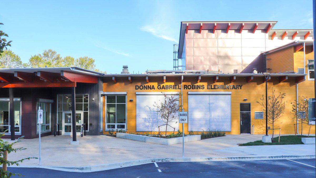
- Yorkson: the established centre around Willoughby Town Centre, from about 204 to 212 Street up to Highway 1. Mostly built (about 82% in 2025), with detached homes, townhouses and apartments, Yorkson Creek Middle, Lynn Fripps and Richard Bulpitt elementary schools, and Yorkson Community Park.
- Latimer: west and central Willoughby on both sides of 200 Street, roughly 73A to 84 Avenue. Townhouses, apartments and mixed-use buildings are still going up, and the Langley Events Centre is next door.
- Carvolth: the northern end, around 196 to 204 Street from 84 Avenue to Highway 1. This is where Carvolth Exchange, the regional bus hub, sits, and the plans call for apartments, mixed-use buildings and employment uses around it.
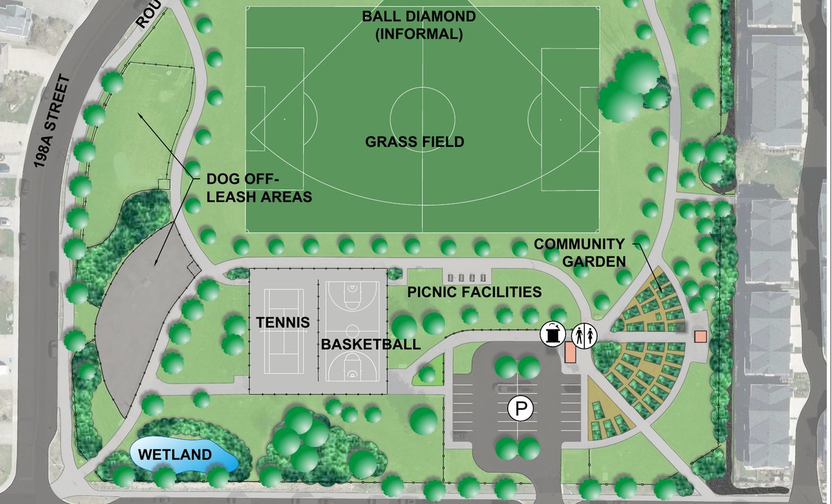
- Routley: the southwest corner, about 196 to 200 Street and 68 to 73A Avenue. About 93% built, with Routley Park and R.C. Garnett Elementary.
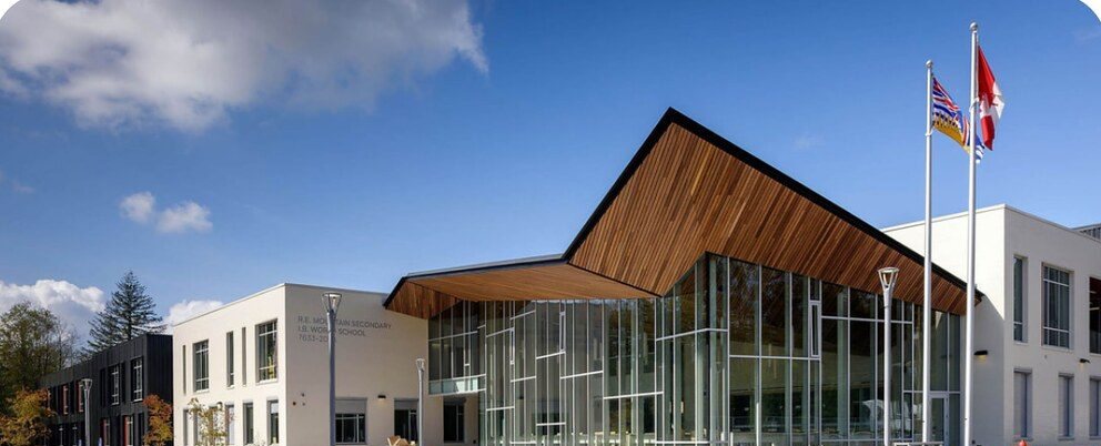
- Smith and Williams: the eastern edge. Smith is roughly 72 to 76 Avenue and 204 to 212 Street, early in its build-out, and the site of the new middle and secondary schools and Smith Athletic Park. Williams is 212 to 216 Street and 76 Avenue to Highway 1, beside the 216 Street interchange and the farmland edge. Its plan was adopted in April 2025, and none of it counted as built in the Township’s 2025 review.
A few more names turn up and are worth decoding. Gordon is the new plan area that combines the old Central and North East Gordon estates, with larger older lots mixed with redevelopment around 72 Avenue. Jericho was a smaller former plan area on both sides of 200 Street that included the Events Centre; today it sits inside the Transit Corridor Plan. Langley Meadows is a school and park community on the southern fringe, around Willoughby Way and 64 Avenue. And Willoughby Town Centre is the shopping and apartment cluster at 208 Street and 80 Avenue, not a neighbourhood plan.
The places that anchor daily life
Three spots do most of the work of giving Willoughby a centre.
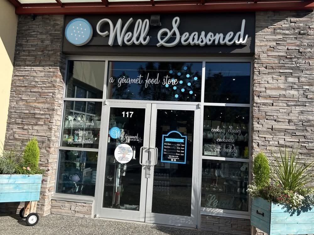
Willoughby Town Centre, 208 Street and 80 Avenue, has Hakam’s Your Independent Grocer, Shoppers Drug Mart, cafés and services, with apartments and mixed-use buildings around it. Our shops and services page has the full list.
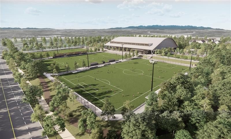
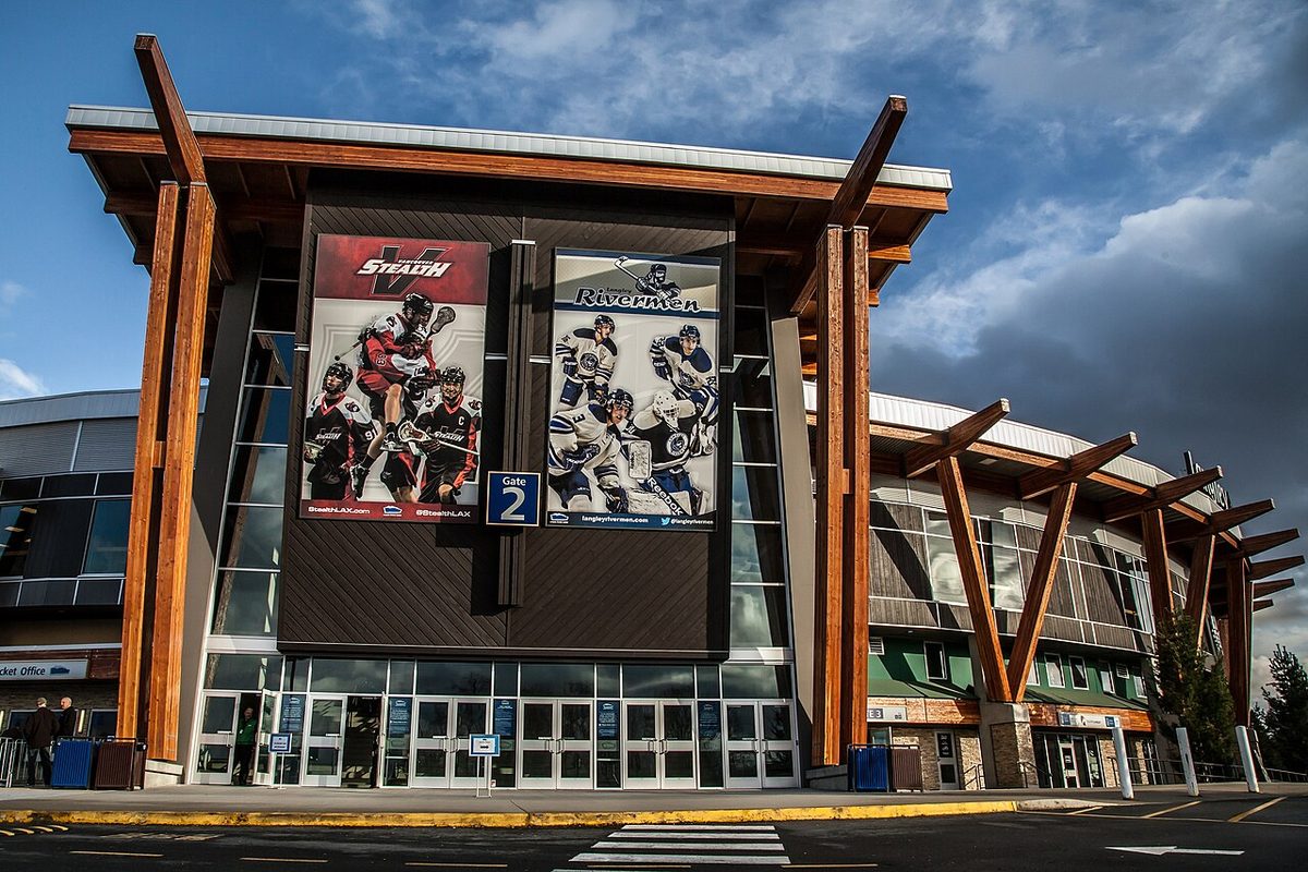
The Langley Events Centre, 7888 200 Street, is the sports and events campus, with three new ice arenas and two dry-floor arenas that opened in September 2026. The Events Centre directory page has the details, and the park beside it is on our parks page.
Carvolth Exchange, 20255 86 Avenue, is the bus loop and park-and-ride with the 555 express to Lougheed SkyTrain. The getting around page explains what runs when.
Who Willoughby suits, and who may find it harder
It tends to suit families who want a newer home with a school and field nearby, and people whose commute runs along Highway 1 or through Carvolth. Apartment dwellers at Town Centre can do most errands on foot. It also suits people who like being close to the action at the Events Centre.
It can be a harder fit for a few kinds of household. Several cars and a street full of townhouses make parking a real question; the Township says it has no resident-only parking. Anyone relying on transit away from 200 Street and 208 Street will wait longer between buses. If you want a quiet lot whose surroundings never change, the area’s planning for growth cuts the other way. And parents planning around a specific school need to check the 2027 catchment changes on our schools page.
Good to know before you move
- Check the school catchment by address, for the year you will actually move. September 2027 changes the middle and secondary routes for several neighbourhoods.
- The planned Willoughby Community Centre, with a pool and library, is still in planning. The Township has given no opening date, so don’t count on it.
- A bus stop near your front door does not mean a frequent bus. Only a few routes come every 10 to 20 minutes.
- The SkyTrain extension is coming to Fraser Highway in late 2029, south of Willoughby. It will not stop at Willoughby Town Centre.
- Street parking is first come, first served. See parking in Willoughby.
For the full balanced list, with who it affects and where to take a concern, read the pros and cons of living in Willoughby.
Start here
- Buying a home in Willoughby
- Renting in Willoughby
- Schools in Willoughby
- Getting around Willoughby
- Parks and recreation in Willoughby
- Shops and services in Willoughby
- Pros and cons of living in Willoughby
- What “Willoughby Heights” means
Langley-wide help is in our guides to moving to Langley, buying a home, Langley schools and getting around. For a shorter neighbourhood summary, see the Willoughby directory guide.
Questions people ask about Willoughby
Is Willoughby a good place to live?
Is Willoughby in Langley City or the Township?
Where exactly is Willoughby?
How many people live in Willoughby?
How far is Willoughby from Vancouver?
Is Willoughby safe?
Is Booth part of Willoughby?
What is Willoughby known for?
Who was Willoughby named after?
Can you live in Willoughby without a car?
Last checked October 29, 2026. Things change fast in a growing area: confirm anything important (catchments, rents, bus times) with the official source linked. Spotted something out of date? Tell us.