- Official status
- Not a separate neighbourhood plan in the Township’s index; a local and market name
- Municipality
- Township of Langley
- Boundary
- No single official boundary; the map here is a rough guide around 200 Street
- Check the real plan area
- Township community and neighbourhood plans
- Check the school
- SD35 school locator
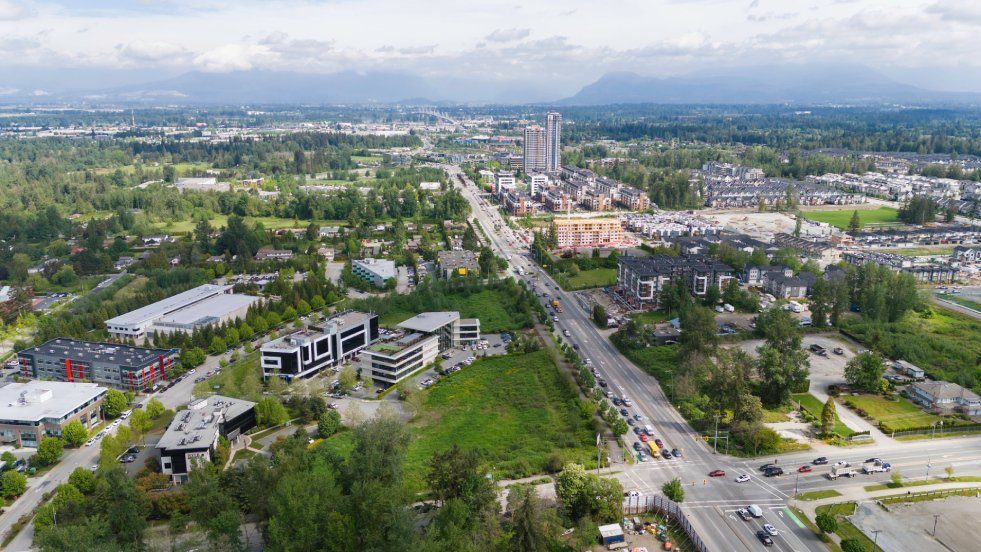
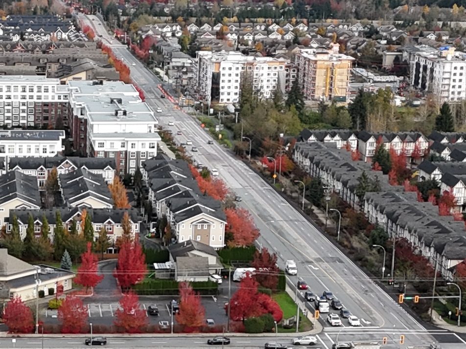
Search for “Willoughby Heights” and you will find listings, a church, and plenty of people asking where it actually is. The honest answer is that it isn’t an official place. The Township of Langley’s list of community and neighbourhood plans has no Willoughby Heights plan, and we haven’t found a single agreed boundary for the name. It’s a local and real estate label that gets stuck on homes across a good part of Willoughby.
That matters because the label tells you very little about the things that affect daily life: the school, the bus, the plan next door, the noise. So treat the name as a prompt to ask “which part, exactly?”.
Which part of Willoughby are you looking at?
These five areas are our own groupings of where the name tends to be used. They aren’t official neighbourhoods, and no one has drawn a line around them.
| If the address is near… | What it’s like | What to check before you commit |
|---|---|---|
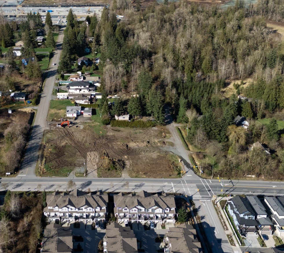
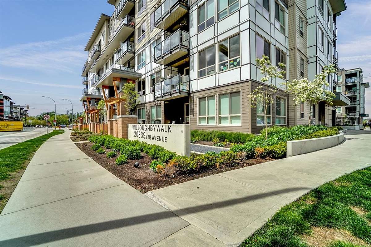
| 208 Street and Willoughby Town Centre, around 80 Avenue | Apartments and mixed-use buildings beside the grocery store, pharmacy and cafés. Route 595 is the local bus. Willoughby Elementary is nearby | Walk the actual route to the store and the bus stop, including the 208 Street crossing. Ask about loading areas and deliveries, and look at nearby development applications |
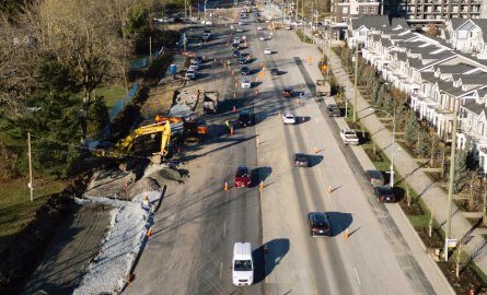
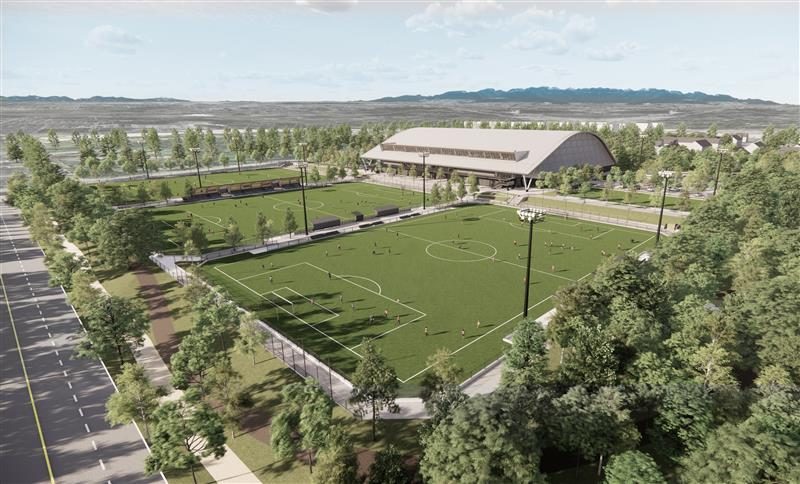
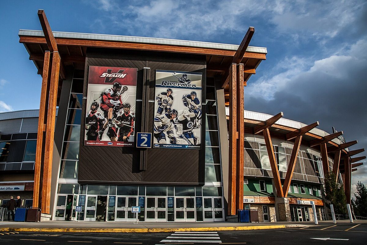
| 200 Street, 80 Avenue and the Events Centre | The sports and events campus is a major destination. The Transit Corridor Plan allows denser development around proposed transit hubs, and route 501 is the frequent bus | Visit during a big event as well as on an ordinary evening. Compare the building’s own parking with what is proposed on the lots beside it |
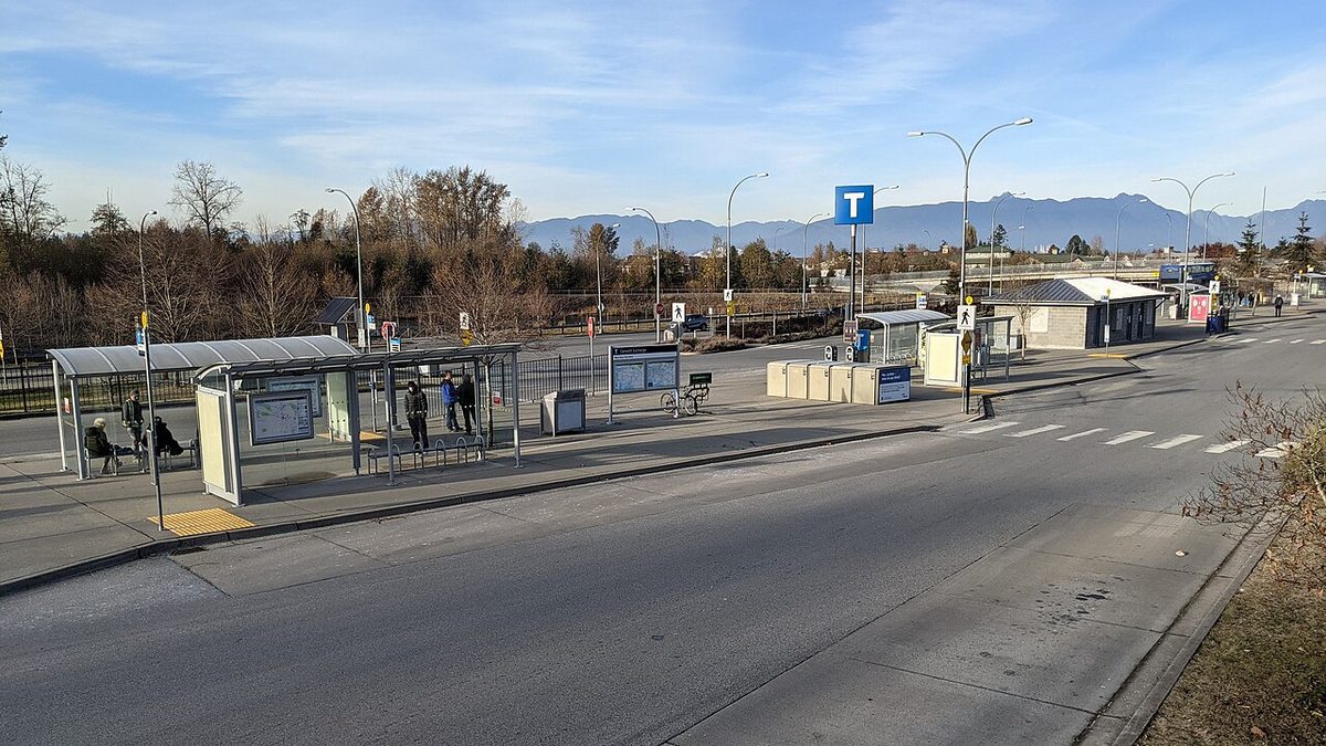
| Northern 200 Street, 84 to 86 Avenue and Carvolth | Apartments and mixed-use buildings, Carvolth Exchange and the 555 to Lougheed, Latimer Village shops | Test the walk to the exchange from the real entrance, not a map pin. Ask about Highway 1 noise, which way the bedrooms face, and whether rental parking is included |
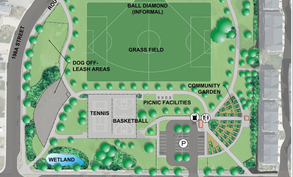
| Southern established streets: Routley, Gordon and the Langley Meadows edge | Different places, not one subdivision. Routley has its own park, Gordon has older large parcels beside new building, and Langley Meadows centres on Willoughby Way near the 64 Avenue shops | Confirm whether the lot is in the current Willoughby plan or the neighbouring Willowbrook area. Check redevelopment designations and the school catchment |
| East toward 212 to 216 Street and the farmland edge | Williams still has larger parcels, and Smith is getting a school campus and an athletic park. Some older Williams properties have private wells | Check servicing, slopes and creek restrictions. A neighbouring field or woods isn’t a park or a promise it stays that way |
Schools and walking
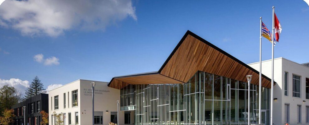
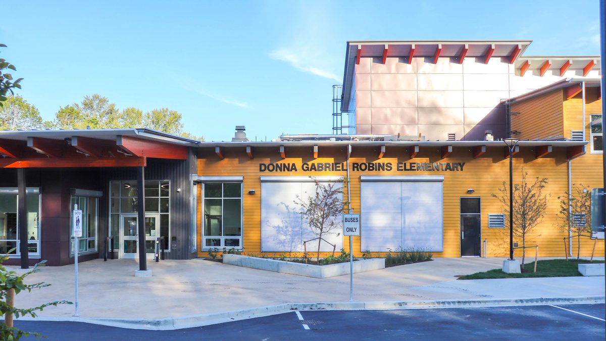
Being near a school doesn’t mean being in its catchment. In September 2027, Donna Gabriel Robins’ eastern and western areas go to different middle and secondary schools, so even two homes a few blocks apart can be on different paths. Check the exact address in the school locator, and read the 2027 table on our Willoughby schools page. Don’t assume that a short walk to R.E. Mountain Secondary means your child goes there.
Homes, age and type
We found no average construction year for “Willoughby Heights”. The Gordon plan records a shift from suburban lots of up to about 2 hectares to a mix of housing, including apartments. A neighbourhood plan’s adoption year isn’t a building’s age, so get the permit history for the home. Our buying guide has the full checklist and the 2026 price context, and renting covers the building-by-building numbers.
Names that sound alike. Latimer Heights and Latimer Village are development and shopping names inside the Latimer neighbourhood. Yorkson Creek is a creek, a school and some projects, not an extra planning area. "Willoughby Slope" is the school district's planning label, not the Township's boundary. Use the street address and the plan area for each question.
Getting around from here
It varies by band. Buses, commute times and parking are covered on our getting around page, including the street parking rules. For the neighbourhoods that have their own guides, see Latimer, Carvolth, Routley, Smith and Williams and Yorkson.
Back to the Willoughby overview, or the pros and cons before you decide. The Willoughby directory guide is a short neighbourhood summary.
Questions people ask about Willoughby Heights
Where is Willoughby Heights in Langley?
Is Willoughby Heights the same as Latimer Heights?
Is Willoughby Heights an official neighbourhood?
Which school serves Willoughby Heights?
Are there acreage lots in Willoughby Heights?
Last checked October 29, 2026. Things change fast in a growing area: confirm anything important (catchments, rents, bus times) with the official source linked. Spotted something out of date? Tell us.