- Smith
- About 78 hectares around 208 Street, north of 72 Avenue; about 223 residents and 3% built (Township estimate, September 2025)
- Williams
- About 110 hectares between 212 and 216 Street, 76 Avenue to Highway 1; about 96 residents and 0% built
- Open now
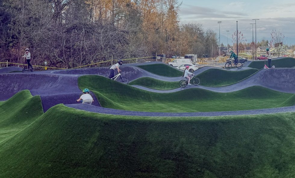
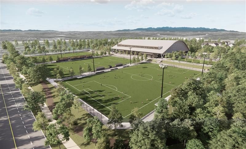
- Smith Athletic Park: three outdoor turf fields (since September 2025)
- New schools
- Emery Dosdall Secondary and stɑtl̓əw̓ Middle, 212 Connector: September 2027 target
- Elementary today
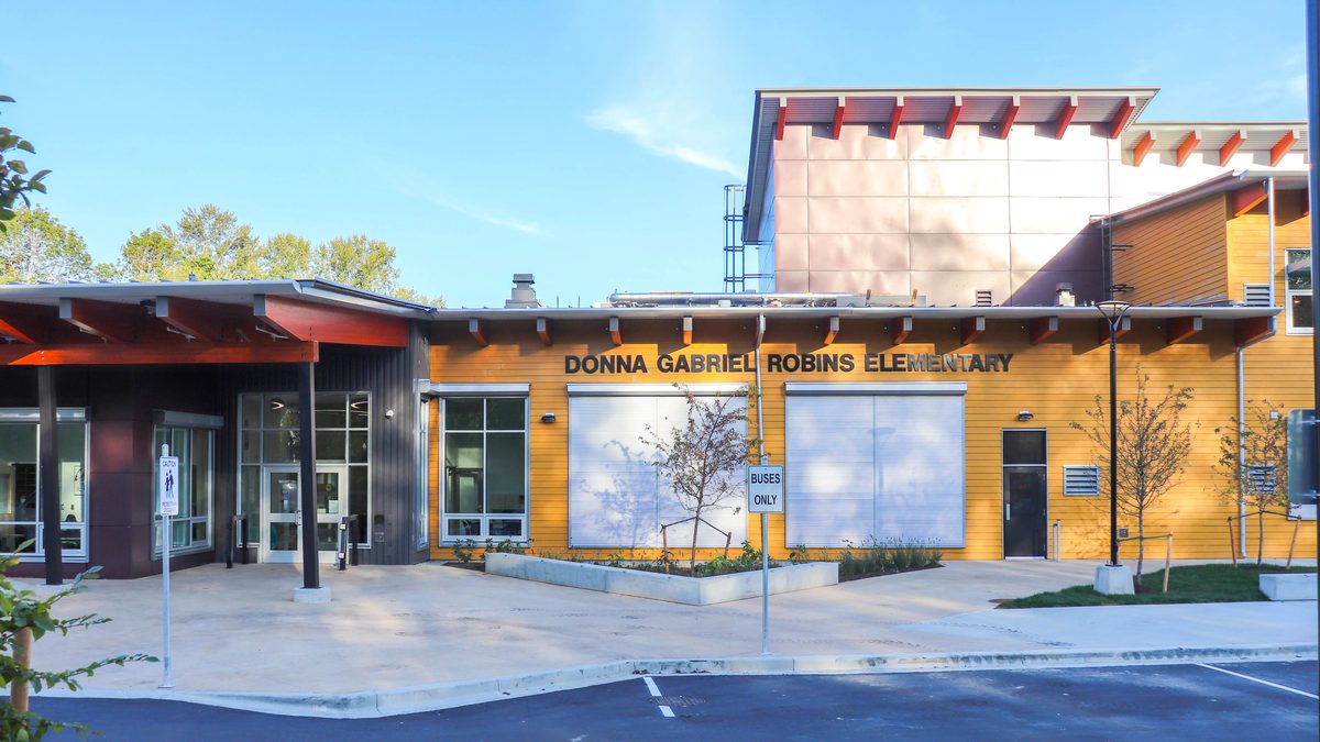
- Donna Gabriel Robins, Richard Bulpitt or Lynn Fripps, depending on the address
- Check an address
- Langley School District school locator
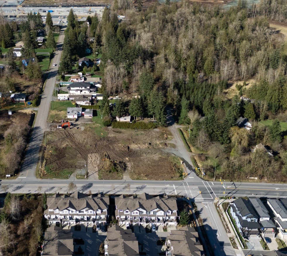
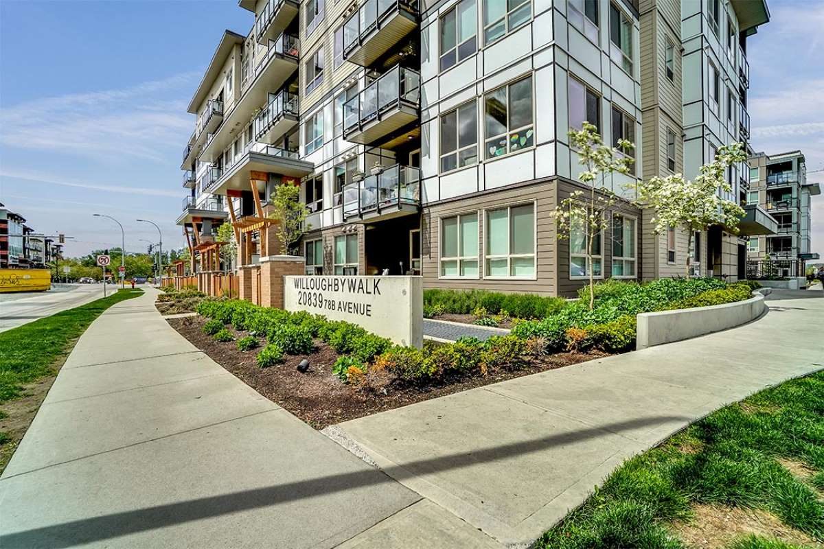
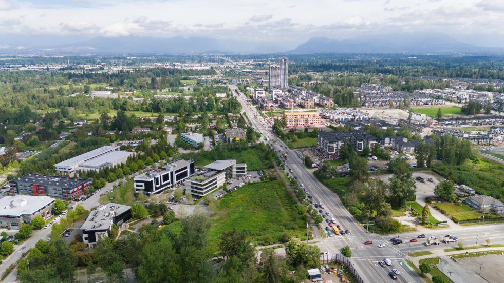
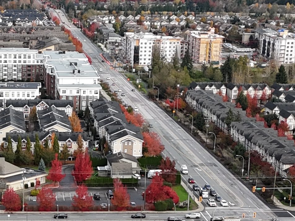
Most of Smith and Williams doesn’t exist yet as a neighbourhood. Today they are large rural-style lots, farmland edges and construction sites, with plans for thousands of homes. What they do have is a lot of public investment landing at once: three turf fields open, a roadway being widened, and a new middle and secondary school campus due in September 2027. Here is what is real now and what is only on a plan.
Where they are
Both are in the Township of Langley, on the eastern side of Willoughby, next to Yorkson.
Smith (about 78 hectares) surrounds 208 Street north of 72 Avenue. Its north edge steps around 74B to 76 Avenue, and the west and east edges are irregular, roughly the 205/206 Street side and the 210 Street farmland escarpment. It is not the whole block from 72 to 76 Avenue and 204 to 212 Street. The current plan replaced an earlier one in March 2024.
Williams (about 110 hectares) sits between 212 and 216 Street, from 76 Avenue up to Highway 1, with farmland beside it. The 216 Street interchange is its highway connection. The plan records Williams Road, built in 1927 and associated with A.J. “Bert” Williams.
Both stayed as their own neighbourhood plans when the Township repealed the Latimer, Carvolth, Routley and Jericho plans on 15 June 2026. The wider Willoughby picture is on our overview page.
How much is actually built?
| Smith | Williams | |
|---|---|---|
| Estimated residents (September 2025) | about 223 | about 96 |
| Developable land built | 3% | 0% |
| What’s there | Large rural parcels, a few new works | Rural properties and farmland edges |
| What the plan shows | Attached housing and apartments, parks, a school campus next door | Employment land toward the highway interchange, housing and mixed use farther south; about 11,000 people and 5,770 homes at build-out |
Compare Routley at 93% built. A future townhouse designation on a plan isn’t existing townhouse supply, and an application isn’t a home. We couldn’t find neighbourhood-level prices, and our buying a home in Langley guide lists what to ask for any lot.
If you are looking at an older large lot, the checks matter more here than almost anywhere in Willoughby: does the property use municipal water and sewer, or a well and septic; what road dedications might come with redevelopment; and what the Township’s mapping and streamside rules say about streams and slopes. Township maps are a screening tool, and a watercourse that isn’t mapped can still need a professional assessment. A landscaped drainage corridor on a plan isn’t automatically a public trail. Nothing here guarantees a quick redevelopment, and the plan alone doesn’t set a timetable.
Schools: three elementaries today, a new campus in 2027
| Area | Elementary now (2026-27) | Then |
|---|---|---|
| Smith, west and south | Donna Gabriel Robins (7844 204B Street) | Western part: Peter Ewart, then R.E. Mountain. Eastern part: stɑtl̓əw̓, then Emery Dosdall |
| Smith, east of 208 Street and north of 74 Avenue | Richard Bulpitt (20965 77A Avenue) | stɑtl̓əw̓, then Emery Dosdall |
| Williams, north of about 80 Avenue | Lynn Fripps (21020 83 Avenue); a 150-place addition opened in 2025 | stɑtl̓əw̓, then Emery Dosdall |
| Williams, south | Richard Bulpitt | stɑtl̓əw̓, then Emery Dosdall |
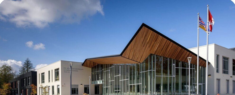
Today those schools feed Yorkson Creek Middle (790 capacity, about 1,050 students in September 2025) and R.E. Mountain Secondary, both over capacity. The relief is the new campus on the 212 Connector: Emery Dosdall Secondary (7587 212 Connector, planned 1,900 places) and stɑtl̓əw̓ Middle School (7467 212 Connector, planned 900). Older project pages call these the Smith schools. Both were under construction in September 2026 and the district’s October 2026 notice still points to a September 2027 opening. Until then they are not an option. The Donna Gabriel Robins dividing line is around 206 Street, but the drawn map and your exact address decide, so use the school locator and ask the district for confirmation in writing if you are close to a line.
A proposed elementary school site in Williams exists on paper, but we found no funding or opening date, so don’t plan around it. Nearby independent options include The King’s School (21783 76B Avenue, preschool to Grade 12; admission is the school’s call) and the French-language public École des Voyageurs at 8736 216 Street, which belongs to the Conseil scolaire francophone rather than the local district. See the Willoughby schools page, Langley’s independent schools and the Langley-wide schools guide.
Parks and sports
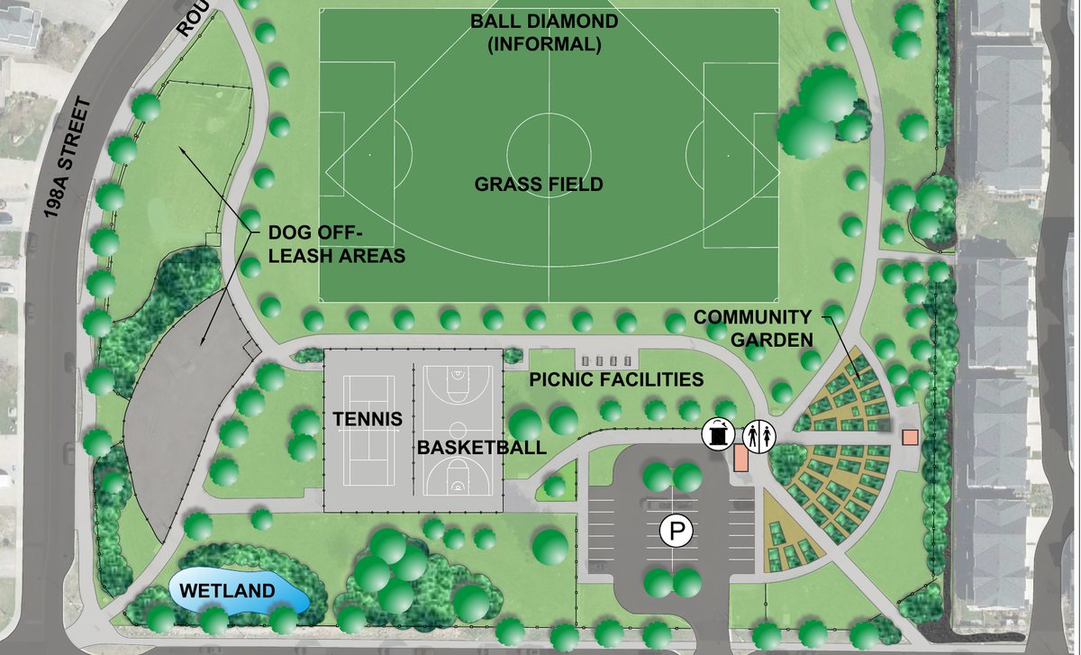
Smith Athletic Park (7550 208A Street) is the headline. Three outdoor synthetic fields opened in September 2025, and Langley United Soccer Association lists 2026-27 development programmes there. An indoor phase is still under construction with no opening date, so don’t count on it. Our Smith Athletic Park page tracks the project. For playgrounds and a spray park, the closest finished option is Yorkson Community Park to the west (a new playground in January 2026, a spray park in May 2026). We couldn’t confirm a neighbourhood park system inside Williams. See Willoughby parks.
Getting around, and the road work
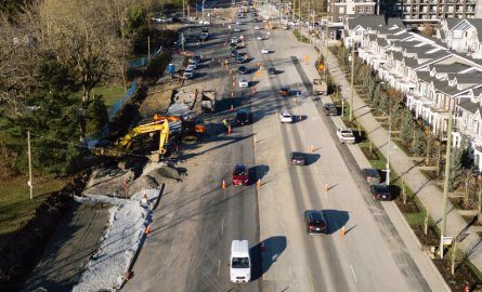
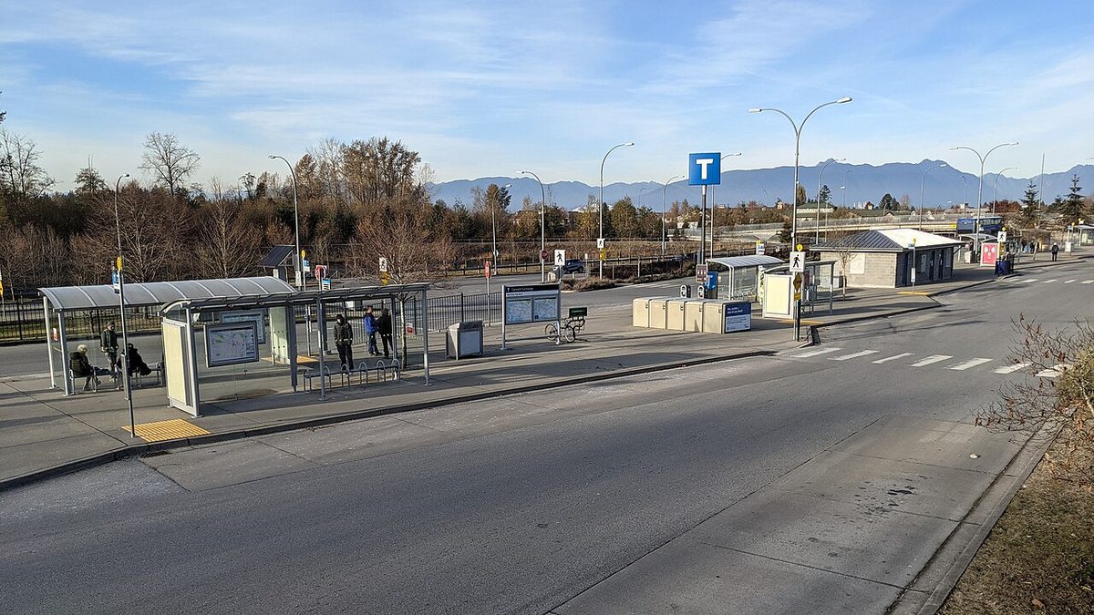
The 595 bus uses 208 Street, linking Langley Centre, the Willowbrook Connector and Carvolth about every 30 minutes (September 2026 timetable). Williams is beside the 216 Street corridor and the Highway 1 interchange, and the Highway 1 section between 202 and 216 Street has been widened. The 80 Avenue widening between 204 and 212 Street finished in July 2026 with cycling and multi-use improvements, and 208 Street phase 3 (76 Avenue to the 8100 block) reached road completion in August 2026; phase 4 toward 84 Avenue is still under way. Smith’s detention pond, storm sewer and road works were substantially complete in February 2026, with minor pond work left.
Short-term lane closures and detours come and go with the construction, so check the Township’s road closures page before a school run. There is no SkyTrain here; see getting around Willoughby.
Shopping and services
Nothing is open inside either neighbourhood that we could confirm. Willoughby Town Centre, around 208 Street and 80 Avenue, has Hakam’s Your Independent Grocer, a Shoppers Drug Mart and dental, optometry and vet services. The King’s Community Church sits at 21783 76B Avenue, east of Williams. See shops and services.
Who this suits
Smith and Williams suit people who are comfortable being early: a landowner who understands servicing and timing, or a family drawn to the fields and the new schools who can live with construction. They suit less well anyone who needs a walkable corner store, a finished road network and a school within an easy walk right now. See pros and cons of living in Willoughby, or the other Willoughby neighbourhoods: Latimer, Carvolth and Routley.
Questions people ask about Smith and Williams
Are Smith and Williams built up yet?
What schools serve Smith and Williams?
Where will Smith and Williams students go to school from 2027?
Is Smith Athletic Park open?
Is there anywhere to shop in Smith or Williams?
Can I count on redevelopment if I buy a large lot in Smith or Williams?
Last checked October 29, 2026. Things change fast in a growing area: confirm anything important (catchments, rents, bus times) with the official source linked. Spotted something out of date? Tell us.