- Where
- Township of Langley: about 196 to 200 Street, 68 Avenue to an uneven edge near 73A Avenue
- People
- About 4,700 residents (Township estimate, September 2025); about 93% of developable land built
- Elementary school
- Langley Meadows Community School, 2244 Willoughby Way (south of 68 Avenue)
- Park
- Routley Park, 19901 70 Avenue: playgrounds, courts, dog off-leash area, community garden
- Bus
- Route 372 along 72 Avenue (about every 30 minutes); 200 Street routes to the east
- Check an address
- Langley School District school locator
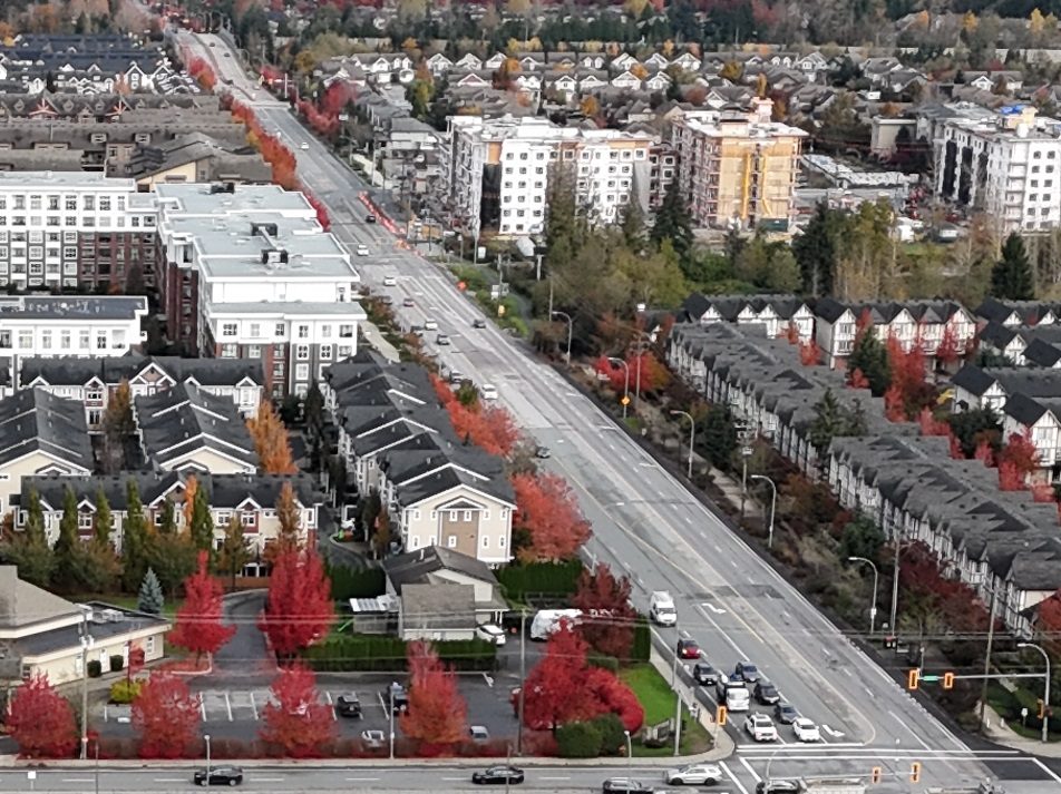
Routley is the Willoughby neighbourhood that has mostly finished growing. The Township counted about 93% of its developable land as built in September 2025, and roughly 4,700 people lived here. Compare that with Latimer next door at 35%, and you can see why Routley feels like a settled set of residential streets rather than a construction zone.
Where it is
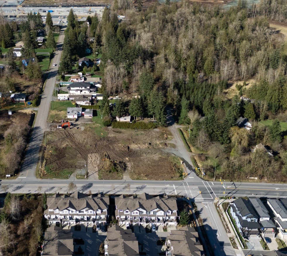
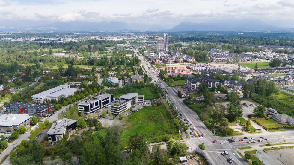
Routley runs from the Surrey boundary at 196 Street east to 200 Street, and from 68 Avenue north to an uneven line around 73A Avenue, in the Township of Langley. It is a small pocket. The shops along 200 Street, the Willowbrook area and Langley City are all just outside it. The old Routley plan dates from 2001 and, like the Latimer and Carvolth plans, was repealed on 15 June 2026 when the Township adopted its new Willoughby framework. The old plan connected the name to John and William Routley, local landowners around the turn of the 20th century.
Homes
The old plan described detached houses and townhouses, and its 2001 date suggests mainly 2000s-era streets, though ages vary house by house, so check the specific property. We couldn’t find Routley-only prices. For all of Langley, the Fraser Valley Real Estate Board’s September 2026 benchmark was $1,471,100 for detached and $802,600 for townhouses. At the Township’s 2026 residential rate of $3.61686 per $1,000, a home assessed at $900,000 works out to about $3,255 in property tax before grants and utility charges. That is our arithmetic from the official rate, not a “typical bill”.
The Township’s new corridor plan recognises some limited redevelopment around the established hub along 72 Avenue. It does not schedule Routley’s existing streets for high-rise replacement, but a lot beside a corner or arterial deserves a look at the Township’s parcel map. Our buying a home in Langley guide lists the other checks.
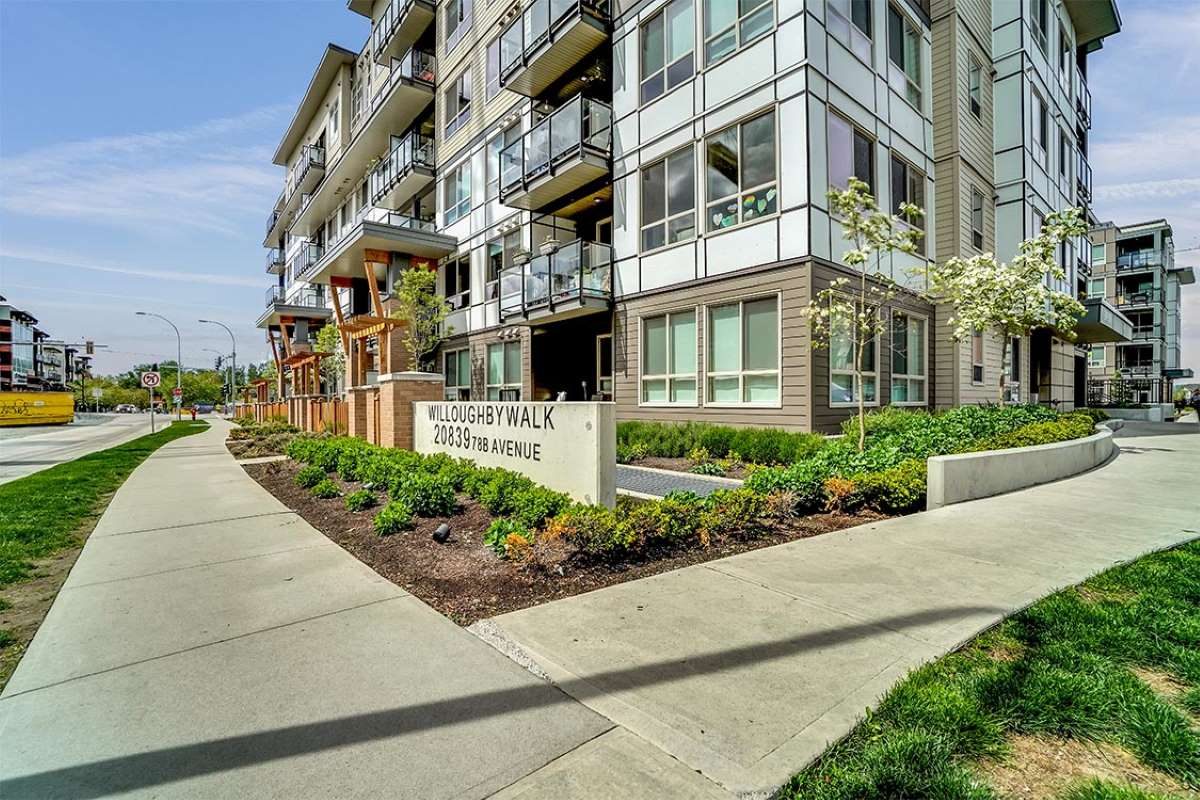
Renting is scarce. The nearest named building is Emmaus Place at 20067 72 Avenue, just east of Routley’s boundary: 82 affordable rental homes (70 apartments for older adults and 12 family townhouses), completed in 2021. Eligibility and waits are set by its operator, so ask them directly. Otherwise rentals here are individual houses, townhouses and suites; see renting in Langley.
Which school does Routley use?
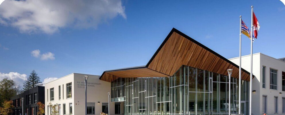
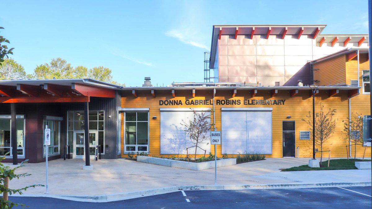
This is the Routley quirk: the elementary school is not in Routley. The district’s current map assigns Langley Meadows Community School (K-5, 2244 Willoughby Way), south of 68 Avenue, then Peter Ewart Middle (6-8, 7755 202A Street) and R.E. Mountain Secondary (9-12). R.C. Garnett Elementary, at 7096 201 Street, is close, but it serves addresses east of 200 Street, so don’t assume it for a Routley home.
Walk the route to Langley Meadows before you buy, because the trip leaves the neighbourhood. Capacity is tight further up the line: in September 2025 Peter Ewart had 983 students against a stated capacity of 900, and R.E. Mountain about 2,550 against 2,075. The new Emery Dosdall Secondary and stɑtl̓əw̓ Middle School open on the 212 Connector in September 2027, but the approved catchments leave the Langley Meadows route as Peter Ewart then R.E. Mountain. Langley Meadows also hosts a free StrongStart drop-in for parents and young children, weekdays 8:30 to 11:30 a.m. and 12:30 to 3:30 p.m. (check the school page for the current schedule). More on the Willoughby schools page, plus the district’s school locator.
Routley Park and the rest of the green space
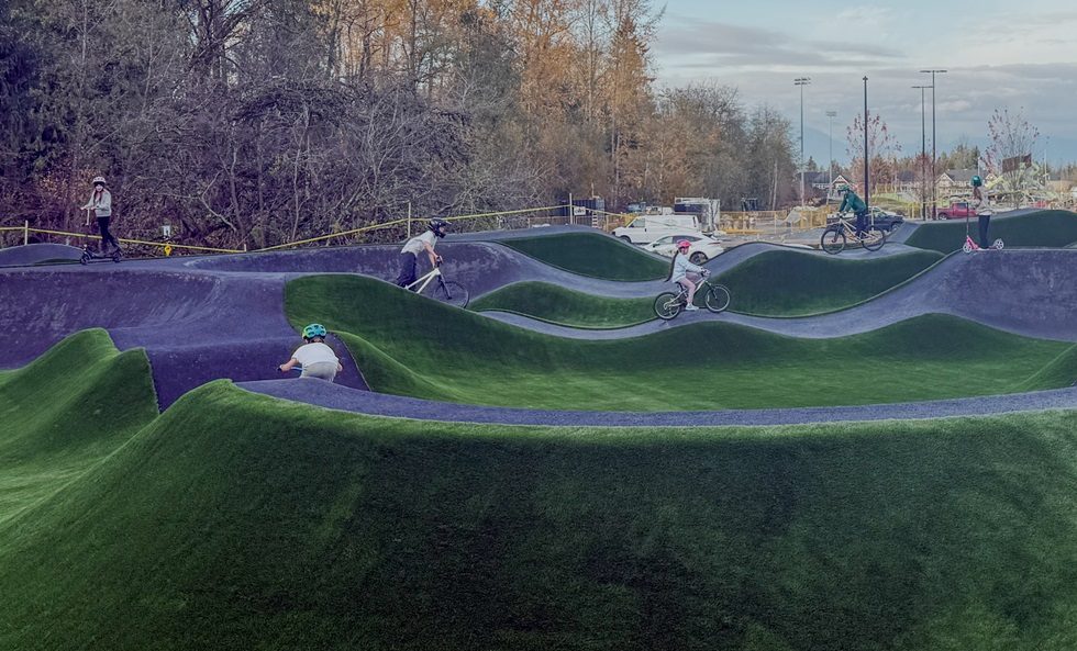
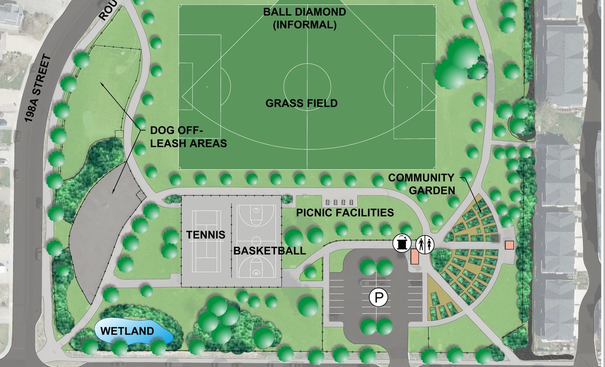
Routley Park (19901 70 Avenue) is the draw. The Township’s map (the image at the top of this page) shows the parking lot off 70 Avenue, a grass field with an informal ball diamond, tennis and basketball courts, two play areas in the northeast corner, dog off-leash areas along the 198A Street side, a community garden, picnic facilities, a washroom, drinking water and a small wetland in the southwest corner. Park hours are dawn to dusk, and dogs must be leashed outside the off-leash areas. The map also labels the Routley Greenway and the Champaigne Greenway, but doesn’t give distances, so treat them as park paths rather than a measured loop. West Willoughby Park (73 Avenue at 196B Street) is smaller, with a playground, lawn and picnic space. The Events Centre and Willoughby Community Park are a short drive north on 200 Street, and the Willoughby parks guide covers them, along with our off-leash parks list.
Buses, driving and the future SkyTrain
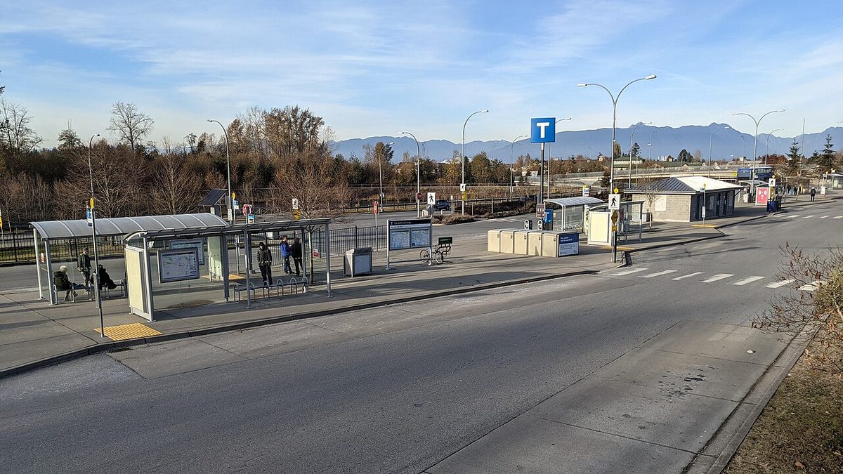
Route 372 runs along 72 Avenue through Routley toward Clayton Heights and Langley Centre, about every 30 minutes in the September 2026 timetable. Buses on 200 Street (the 501 and 595) are the east-side option, and Carvolth Exchange, with the 555 to Lougheed, is a short drive north. Willowbrook SkyTrain station is under construction at Fraser Highway and 196 Street, the same street as Routley’s western edge, with a late-2029 target, though feeder bus plans haven’t been announced. See getting around Willoughby.
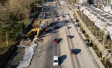
Traffic calming has been funded on 68 Avenue between 197 and 199A Streets and on 197 Street between Wakefield Drive and Willoughby Way. For a street-design or crossing request, the Township’s Engineering department takes them at [email protected] or 604-533-6006.
Parking and the RV question
Public-street parking is limited to 72 hours in one spot, with 5 metres of clearance from a hydrant or community mailbox and 1 metre from a driveway. If you own an RV, boat or trailer, the street is not storage: 48 hours per calendar year, and no living in it. A front-driveway exception runs 1 April to 30 September on qualifying single-family lots (with 1.6 metres behind the sidewalk or pavement edge), so it ended this October. See the Langley-wide parking guide.
Everyday errands
Moreno’s Market and Deli (7150 200 Street) is the closest grocery and deli; Save-On-Foods at 20255 64 Avenue and the Willowbrook area are south, and Willoughby Town Centre is east. The Civic Facility and Muriel Arnason Library are at 20338 65 Avenue, and Willoughby Fire Hall 4 is at 20253 72 Avenue. Three churches sit in or beside Routley on the main roads: Shepherd of the Valley Lutheran (20097 72 Avenue), Willoughby Christian Reformed (20525 72 Avenue) and Mountainview Alliance (7640 200 Street). More in shops and services.
Not every home here is a short walk to every one of these, and 200 Street is a busy road to cross. We found no crime figures for Routley on its own, so we won’t rank it; the safety guide explains where to look. For the wider trade-offs, see pros and cons of living in Willoughby, or go back to the Willoughby overview.
Questions people ask about Routley
What elementary school serves Routley?
Where does Routley start and stop?
Is there a dog park in Routley?
Can I keep an RV in the driveway in Routley?
Is Routley more built-up than Smith or Williams?
Where is the nearest SkyTrain from Routley?
Last checked October 29, 2026. Things change fast in a growing area: confirm anything important (catchments, rents, bus times) with the official source linked. Spotted something out of date? Tell us.