- Bus
- Route 562: Langley Centre, Trinity Western, Fort Langley, Walnut Grove, Carvolth
- Village stops
- 96 Avenue at Glover Road: 57200 toward Carvolth, 57250 toward Langley Centre
- Frequency
- About every 20 minutes weekdays and much of Saturday; about hourly on Sundays, ending around 6:30 pm
- Nearest SkyTrain
- None in Fort Langley. Surrey Langley SkyTrain is projected for late 2029, with stations in Langley City and Willowbrook
- Railway
- CN line with a public crossing on the Glover approach
- Parking
- No resident-only street permits; default 72-hour limit with signed exceptions
Most Fort Langley households have a car, and most trips outside the village are by car. The village still has real transit, a railway you need to plan around, and a weekend parking squeeze that is worth testing before you pick an address. If you are only visiting, our village guide has the visitor version of the parking advice; this page is for people who will be here every day. For the Township-wide picture, see getting around Langley.
What buses serve Fort Langley?
One route does the work: the 562, connecting Langley Centre, Trinity Western University, Fort Langley, Walnut Grove and Carvolth. In the village, board at 96 Avenue and Glover Road (stop 57200 toward Carvolth, 57250 toward Langley Centre). It also uses Trattle Street and 88 Avenue on its way through, which is why a west-side address can be handier for the bus than a rural lot with the same “Fort Langley” label.
| When | About how often at the village | What it means |
|---|---|---|
| Weekday peaks and midday | Every 20 minutes | Early-morning exceptions apply. About 22 minutes to either end from 96/Glover. |
| Weekday evening | Roughly hourly later on | Check the exact last departure. |
| Saturday | About every 20 minutes through much of the day, hourly later | Check when it changes. |
| Sunday and holidays | About hourly; regular trips end around 6:30 pm | A big step down from weekdays. |
Frequencies are worked out from TransLink’s September 7, 2026 timetable, checked in October 2026. Use the live 562 page for the date you travel, since detours happen.
Transfers. Carvolth is where the 562 meets the 555 to Lougheed Town Centre. Carvolth Park and Ride is at 20255 86 Avenue: 679 spaces, $2 a day or $40 a month (plus a $0.35 PayByPhone convenience fee where it applies), checked October 2026. It’s a bus exchange, not a SkyTrain station.
If Sunday service matters to you, you can ask TransLink for more through its feedback form, naming route 562 and the times you need. We found no funded Sunday improvement for Fort Langley.
How long does it take to drive places?
These are third-party routing estimates for driving, checked in October 2026, from Fort Langley to a generic point in each place. They are not rush-hour numbers. Test your real commute at your real hour.
| To | Distance and time |
|---|---|
| Vancouver (centre point) | 46.1 km, about 40 minutes |
| Surrey Central Station | 21 km, about 20 minutes |
| King George Station | 21.3 km, about 20 minutes |
| Abbotsford | 32.8 km, about 31 minutes |
| Langley City | 10.2 km, about 11 minutes (the 562 takes about 22 minutes, plus wait and walk) |
From Highway 1, take Exit 66, then 232 Street and Glover Road north; the historic site is about 6 km north of the highway. Glover Road, 96 Avenue and 88 Avenue are the village’s main approaches. For Maple Ridge and Pitt Meadows, the Golden Ears Bridge has been toll-free since September 2017. Check the Township’s closures and impacts page before a trip; road work and festival closures land here regularly.
What about SkyTrain?
Fort Langley does not have a SkyTrain station and the current extension doesn’t include one. The Surrey Langley SkyTrain’s Langley stations are Willowbrook (196 Street at Fraser Highway) and Langley City Centre (east of 203 Street at Industrial Avenue). The province still projects service in late 2029, and its May 2026 update reported all eight stations under construction. We haven’t seen a published plan for how Fort Langley’s bus service will connect to them.
The railway
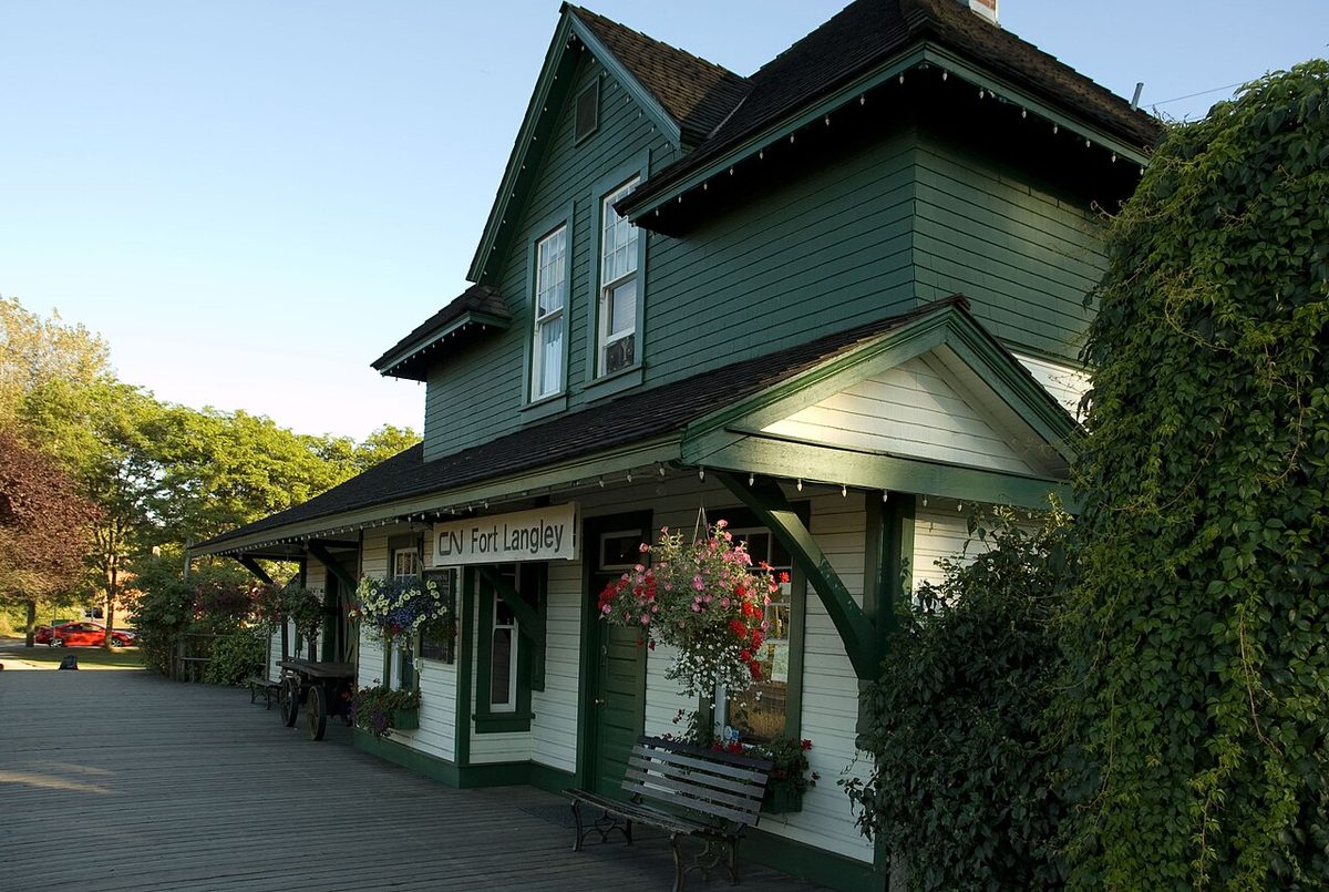
The tracks through the village are CN’s, not CP’s. The 1915 station on Mavis Avenue is a heritage museum run by the Langley Heritage Society, and it is closed for the season until Victoria Day weekend 2027. It isn’t a passenger stop. Glover Road crosses the tracks at a public crossing, so test your route to the core, the waterfront and (for Bedford Landing) the school during a typical morning.
We found no published count of daily trains, no average blockage time and no quiet-zone exemption for the village. CN says whistles are generally required at public crossings. Recurring noise or crossing issues go to CN Public Inquiries (1-888-888-5909); signal malfunctions and railway safety concerns go to the 24-hour line (1-800-465-9239). Never use the tracks as a shortcut.
Walking and cycling
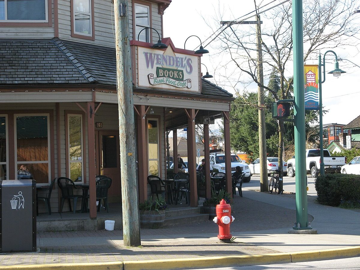
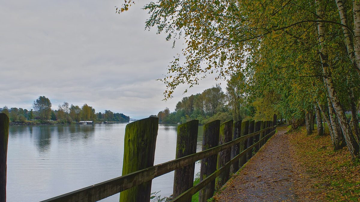
The core packs the daily errands into a few blocks: Lee’s Market and the pharmacy on Mavis Avenue, Wendel’s at Glover and Mavis, and the library on Mavis, a bit farther east. Bedford Landing connects to the channel-side trail, and the western blocks link to Trattle Street and Fort Langley Community Park. These are location relationships, not accessibility guarantees, so check slopes, crossings and surfaces yourself.
- Fort-to-Fort Trail. It’s recreational, with closure risk, not a guaranteed commute. In 2026, Salmon River dike work has required signed detours by local road and 96 Avenue. See parks and recreation for the current status.
- 88 Avenue. The existing corridor has a narrow north-side walkway and a south shoulder. The Township’s proposed separated path and intersection upgrade from Wright Street to Glover Road (about 580 m) has been to engagement and is moving to design. We didn’t find a construction date.
- Elsewhere. See our cycling guide and the Fort-to-Fort Trail page.
Parking in Fort Langley
The rules. The Township does not run a general resident-only street parking permit, and the street beside your home isn’t reserved for you. The default is a 72-hour limit, with shorter signed limits overriding it, including on holidays. We couldn’t find a block-by-block list of limits for Glover and Mavis, so read the signs on the block you care about.
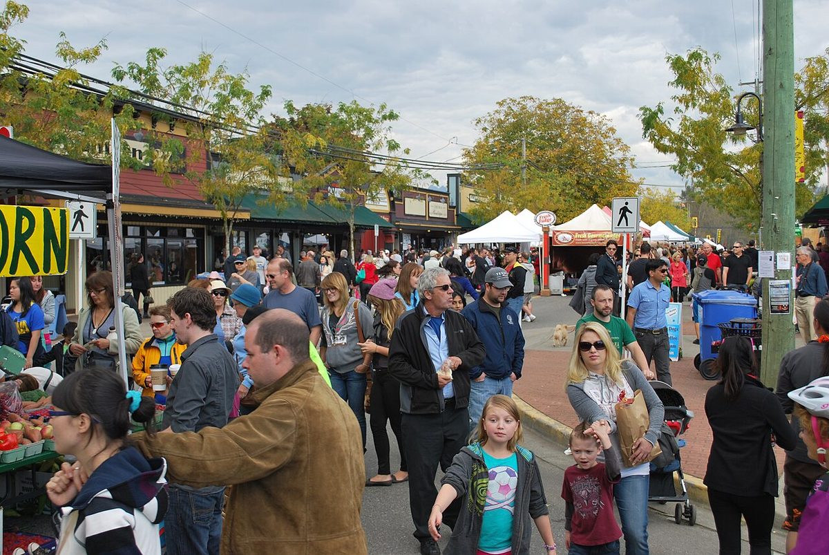
Weekend and event-day pressure. The village is a destination. The Cranberry Festival drew about 35,000 people in 2025 (that is an event estimate, not a normal weekend or a count of cars). The 2026 festival closed Glover Road between Francis and Mavis Avenues, and the 2026 May Day parade closed Mary/Glover, Glover to 88 Avenue, 88 Avenue to Trattle and Trattle north to 96 Avenue from about 10:45 am to 12:30 pm. We found no published ordinary-Saturday occupancy figures, so the practical advice is to see your own street on a weekday evening, a normal Saturday and an event day.
| Event | Latest verified date | What residents should plan for |
|---|---|---|
| May Day parade | May 18, 2026 | Published road closures along Glover, 88 Avenue and Trattle. The 2027 route may differ. |
| Jazz & Arts Festival | July 23-26, 2026; next July 22-25, 2027 | Mix of free and ticketed events. |
| Cranberry Festival | Usually the Saturday of Thanksgiving weekend, in October; check the organiser’s page for the date | Glover Road closed in the core; very high visitor numbers. |
| Farmers’ Market | Saturdays, April 18-December 5, 2026 | Weekly site at 9025 Glover Road. |
The fort’s lot. Fort Langley National Historic Site’s lot has used paid parking since November 1, 2025. Fort visitors get four hours free by registering their plate at the visitor centre; everyone else pays under the posted scheme. It isn’t free overflow for village shopping. Our festival parking post has the longer story.
If you own an RV, boat or trailer. Township guidance limits RV or trailer parking on public roads to a total of 48 hours per calendar year. For applicable residential properties, seasonal storage in the front driveway is allowed April 1 to September 30, subject to a setback. That’s not year-round permission, so check the bylaw and your zoning. More in our Langley-wide parking guide.
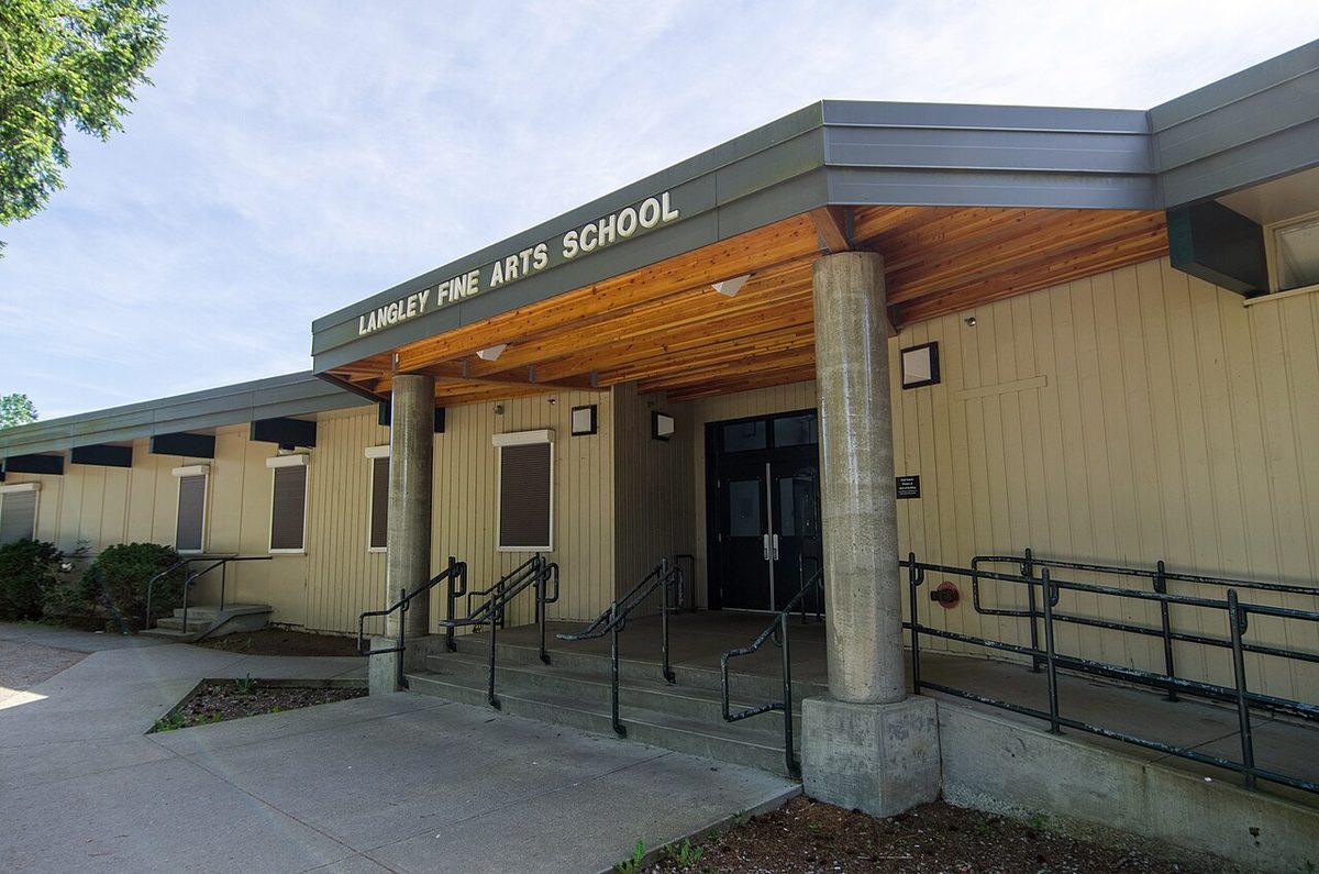
Townhouses and apartments. Ask for the allocated resident and visitor stalls, whether the garage fits a vehicle, and the strata’s rules. We found no evidence that every Bedford Landing street or strata has the same parking problem. The Township approved four raised crosswalks and six speed humps on Billy Brown Road in July 2024, though we couldn’t confirm they were all built. Trattle at Langley Fine Arts is on the Township’s completed traffic-calming list.
Who to tell. Speeding and traffic-calming concerns go to Township Engineering (604-533-6006 or [email protected]). A suspected parking violation goes through the Township’s parking and bylaw channels. Give a street, a time and a date, not just “the Fort”.
Related pages
Overview · Pros and cons · Housing · Bedford Landing · Transit in Langley
Questions people ask about Fort Langley
What bus goes to Fort Langley?
Is there Sunday bus service in Fort Langley?
How do I get from Fort Langley to SkyTrain?
Will the Surrey Langley SkyTrain come to Fort Langley?
Is the railway in Fort Langley CP or CN?
Can residents get a street parking permit in Fort Langley?
Is parking at Fort Langley National Historic Site free?
How long does it take to drive from Fort Langley to Vancouver?
Last checked October 29, 2026. Things change fast in a growing area: confirm anything important (catchments, rents, bus times) with the official source linked. Spotted something out of date? Tell us.