- Where
- West-central Langley City south of the Nicomekl River, roughly 196 to 203 Street and 47 to 51 Avenue
- School
- Simonds Elementary and U-Connect, 20190 48 Avenue, K to 5, with StrongStart. Check the catchment
- Parks
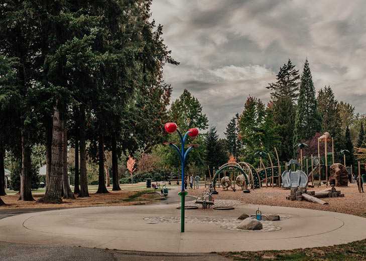
- Conder Park (198 St at 50 Ave), Sendall Gardens (201A St at 50 Ave)
- Informal names
- Eagle Heights and River Bend are used in listings; neither is an official neighbourhood
- Housing
- Mostly detached houses, much of it built in the 1970s and 1980s, per the City’s older profiles
- Watch for
- Floodplain near the river; check Bylaw 2768
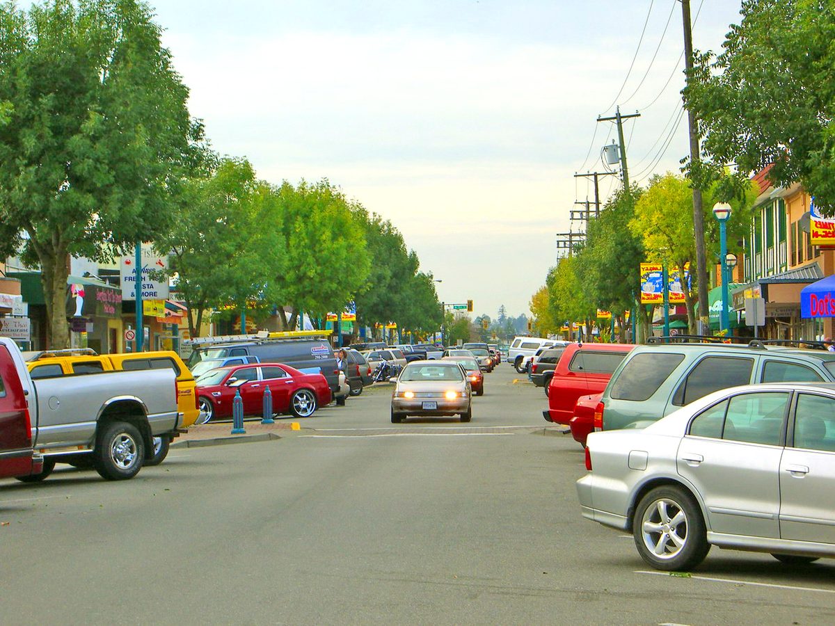
Simonds is where a lot of people picture a “regular” Langley City street: detached houses on yards, a neighbourhood school, a small park at the end of the road. It is south of the Nicomekl River, west of City Park, and away from Fraser Highway traffic. Two names you will see in listings, Eagle Heights and River Bend, sit inside it.
What the names mean
The City’s six official neighbourhoods are Nicomekl, Douglas, Simonds, Blacklock, Alice Brown and Uplands. They come from an older planning study and are not school catchments. Eagle Heights is a real listing name for homes around 197 to 200 Street and 50A Avenue, and River Bend appears near 20085 50A Avenue, but we could not find an official boundary for either. If you are searching, use them as clues and always confirm the street address.
Homes
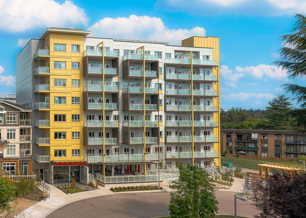
The City’s older community profiles describe the southern City as mostly detached houses, much of it built in the 1970s and 1980s. We have no figure for Simonds alone. A house from that era may have had updates or may not, so ask about the roof, the windows, the electrical and drainage, especially near the river. A new project sits at the edge: a mixed-use rental and below-market housing proposal with childcare and a church at 19991 49 Avenue and 200 Street, which council adopted on 9 February 2026 and which the City’s portal lists with a development permit on 27 March 2026. We have no confirmed unit count or opening date. See buying and renting.
School
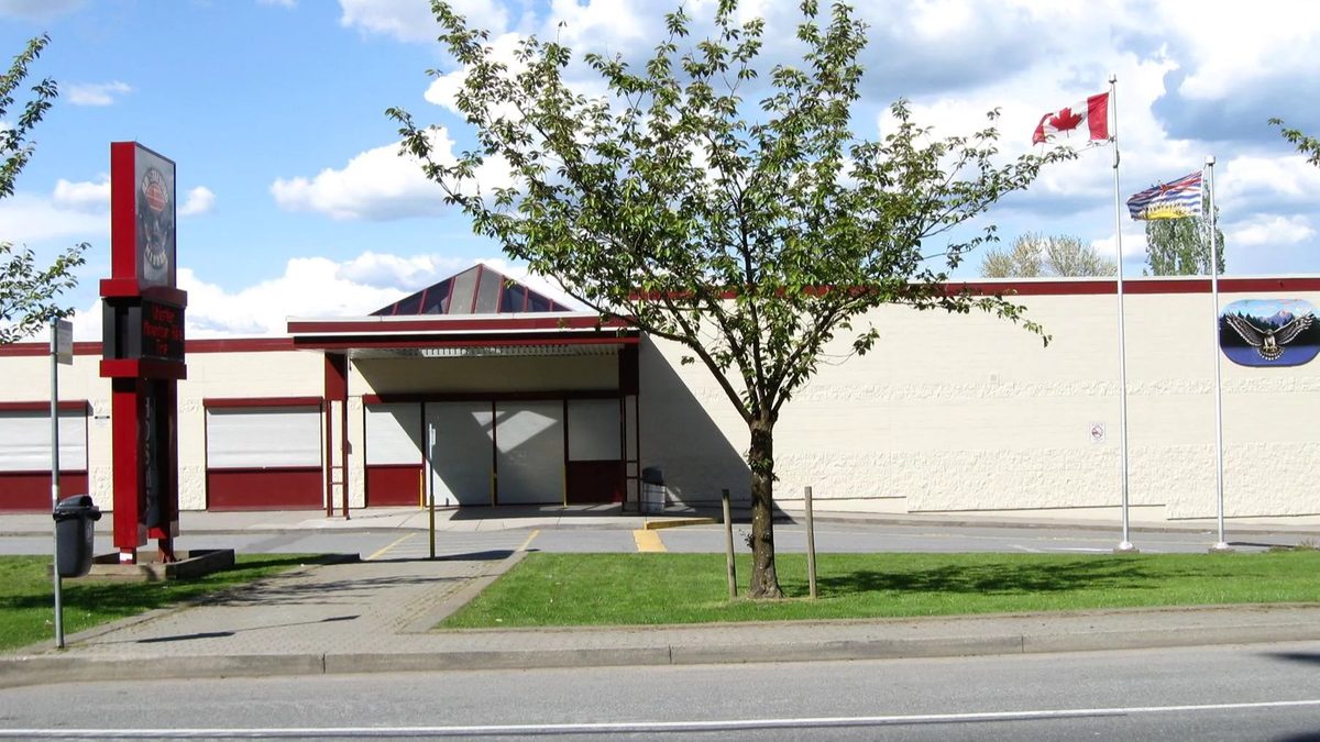
Simonds Elementary and U-Connect are at 20190 48 Avenue. Simonds is a neighbourhood elementary for kindergarten to Grade 5, with a StrongStart program for children under five and their caregivers. U-Connect is a blended learning program for kindergarten to Grade 12 that shares the campus. The district’s 2024 facilities plan records a catchment extension north of the river, which is why some Nicomekl-side addresses fall under Simonds. Use the district locator and ask the school about space. More in schools.
Parks and trails
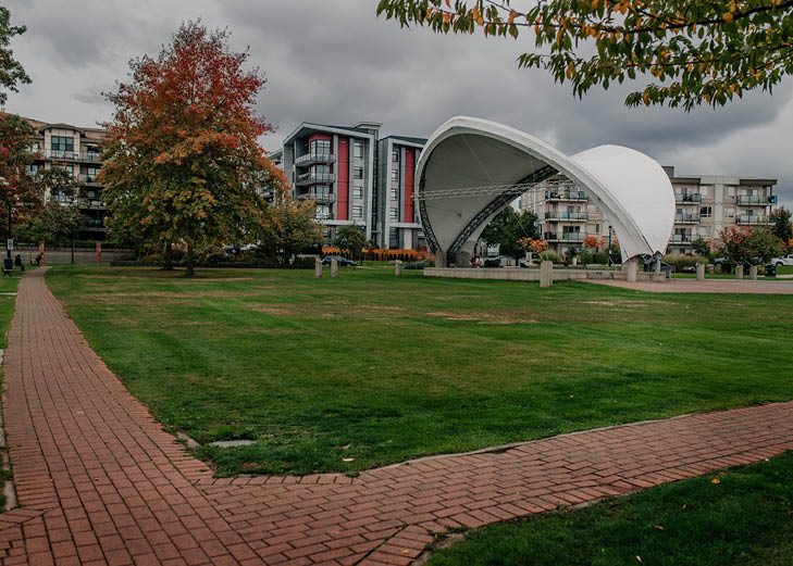
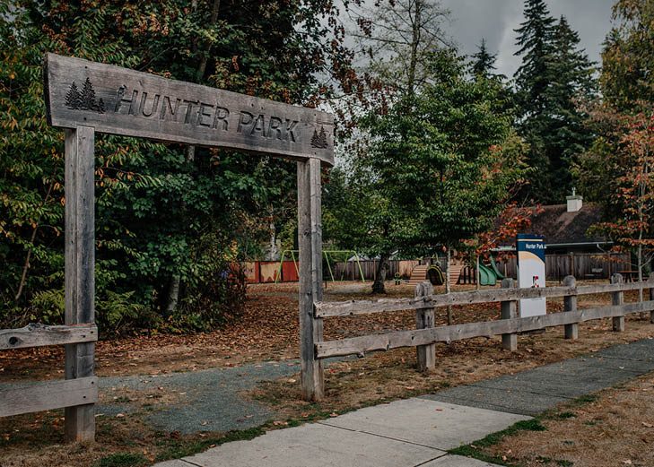
- Conder Park, 198 Street at 50 Avenue, has a ball field and playground.
- Sendall Gardens, 201A Street at 50 Avenue, is a garden park with a greenhouse.
- Buckley Park, 196 Street at 48 Avenue, has a playground and trails.
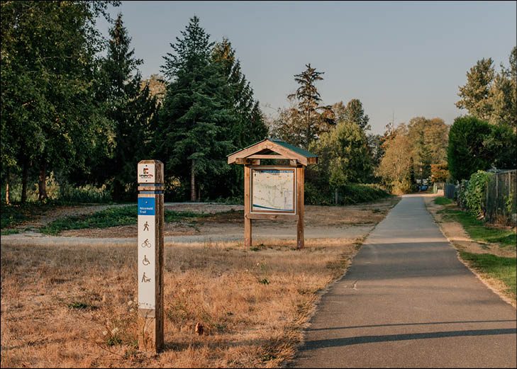
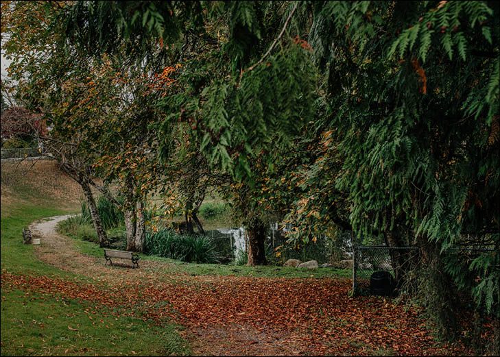
- The river trails connect to these, but yards and creek banks next to them are private. See the Nicomekl trails.
Close to the river? The Nicomekl floodplain affects some Simonds lots. The City’s Floodplain Elevation Bylaw 2768 sets minimum construction levels. Ask City Planning about the specific address and read what the title says about riparian setbacks before an offer.
Getting around and shopping
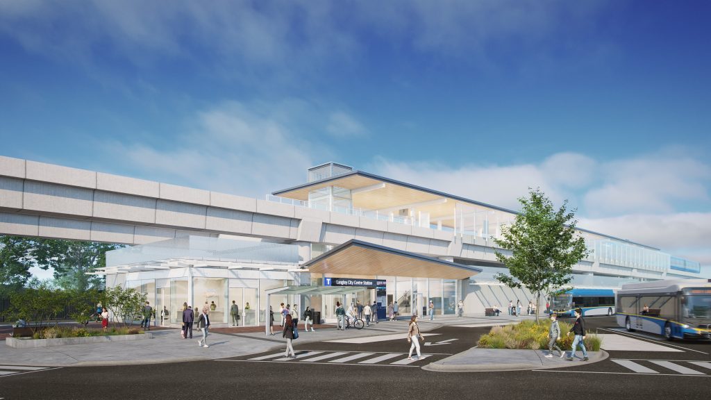
Simonds does not have a rapid transit station on its doorstep. The future Willowbrook SkyTrain station at 196 Street and Fraser Highway is to the north, and downtown buses run along Fraser Highway. The City’s long-term plans mention a future commercial node at 200 Street and 50 Avenue. That is a direction in the City’s plan, not a store you can shop at. Test the trip to the nearest grocery in rush hour, on foot and in the car. See getting around and shops and services.
Who it suits
Simonds suits families who want a house with a yard, a neighbourhood school and quiet streets, and are happy to drive or bus for errands. It suits you less if you want to walk to everything or cannot tolerate floodplain paperwork. Next: Blacklock and Uplands, Alice Brown, or the City overview. The school district directory page links to boundaries.
Questions people ask about Simonds, Sendall and Eagle Heights
Where is Simonds in Langley City?
Is Eagle Heights a real neighbourhood?
What kind of homes are in Simonds?
Which school serves Simonds addresses?
Does Simonds flood?
Is there a store near Simonds?
Last checked October 29, 2026. Things change fast in a growing area: confirm anything important (catchments, rents, bus times) with the official source linked. Spotted something out of date? Tell us.