- Where
- Around Fraser Highway between 203 and 206 Street, Glover Road and Douglas Crescent. A planning district, not one of the six official neighbourhoods
- The One-Way
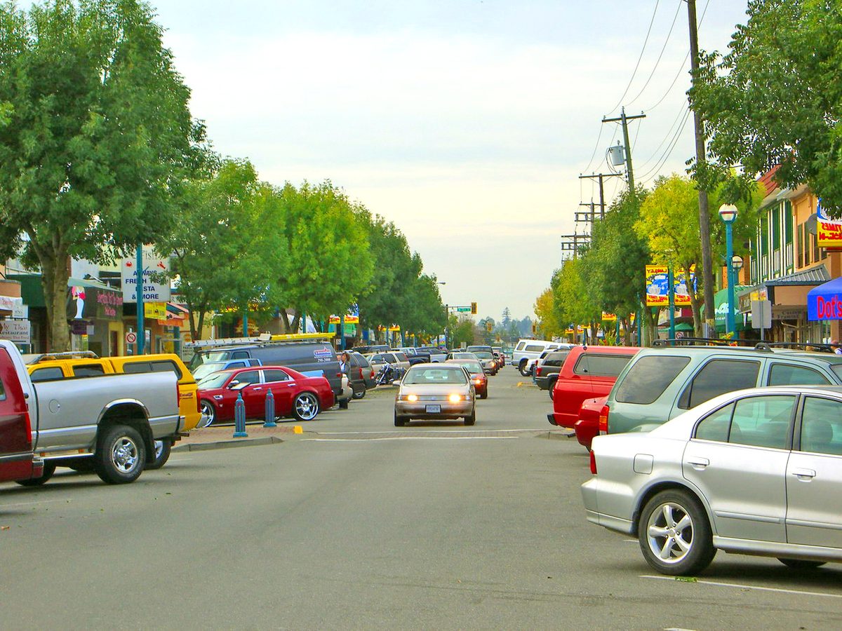
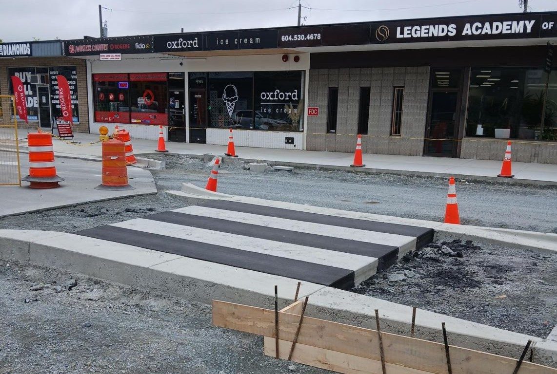
- Fraser Highway between 204 and 206 Street, rebuilt in 2025 and reopened in September
- Civic block
- City Hall, library and Timms Community Centre at 20399 Douglas Crescent
- Future station
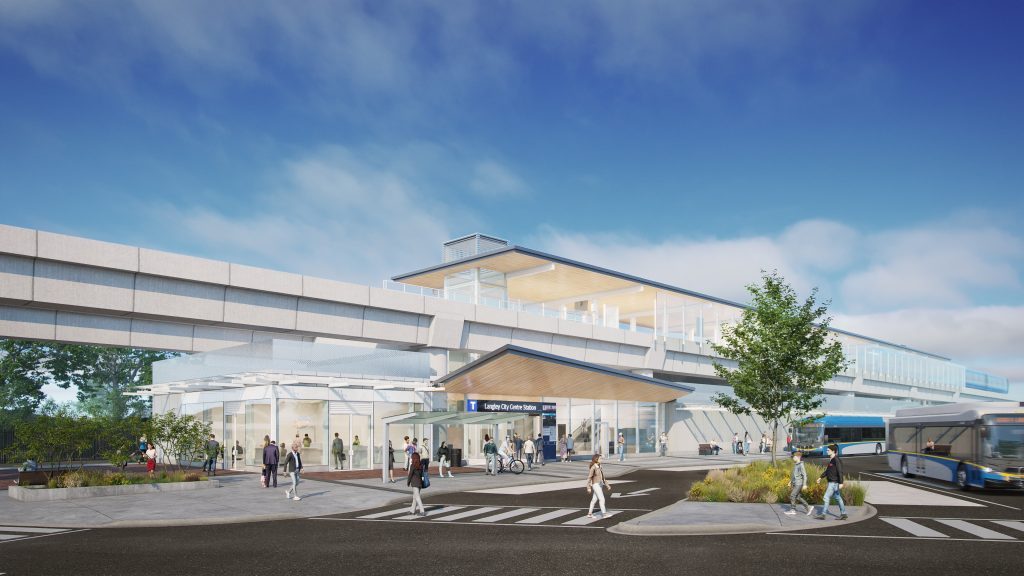
- Langley City Centre SkyTrain, east of 203 Street at Industrial Avenue, due late 2029
- Bus exchange
- Langley Centre, Glover Road at Logan Avenue
- Business group
- Downtown Langley Business Association
Downtown Langley City is small enough to learn in an afternoon. The heart of it is the Fraser Highway One-Way, two blocks between 204 and 206 Street. The civic block sits just south on Douglas Crescent, and the bus exchange is a few minutes north on Glover Road. It is the part of the City where you can run most errands without a car, and the part that will change most when SkyTrain arrives.
What is already here
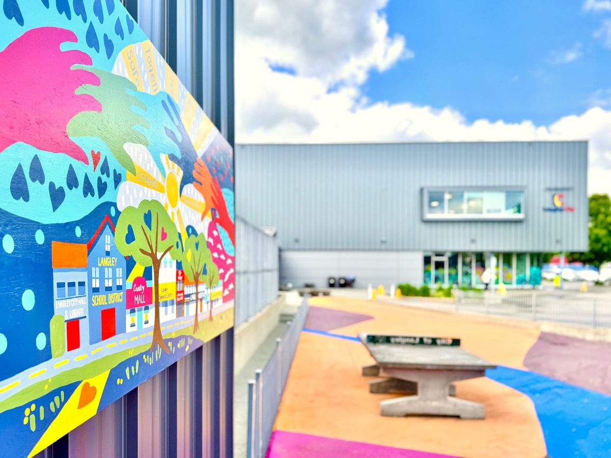
The One-Way. The City rebuilt this section in 2025, replacing the pipes underneath, then the sidewalks and street. It reopened in September 2025. The frontages are small and older, with cafés, Oxford Ice Cream, personal services and a lot of independent shops. You can find the current list in the Downtown Langley Business Association directory, and see public art on the mural walk. Arts Alive used the street on 15 August 2026; the next date is for the City and the business association to announce.
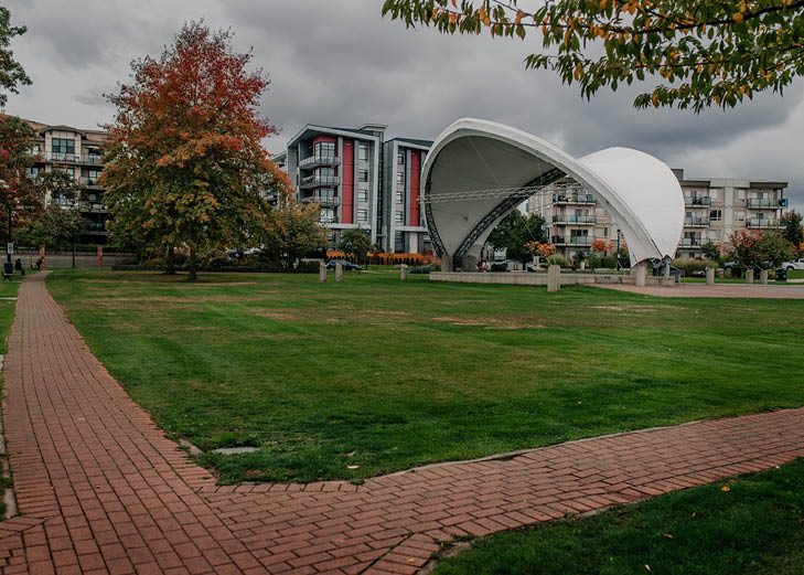
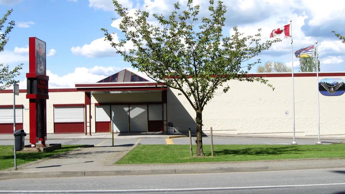
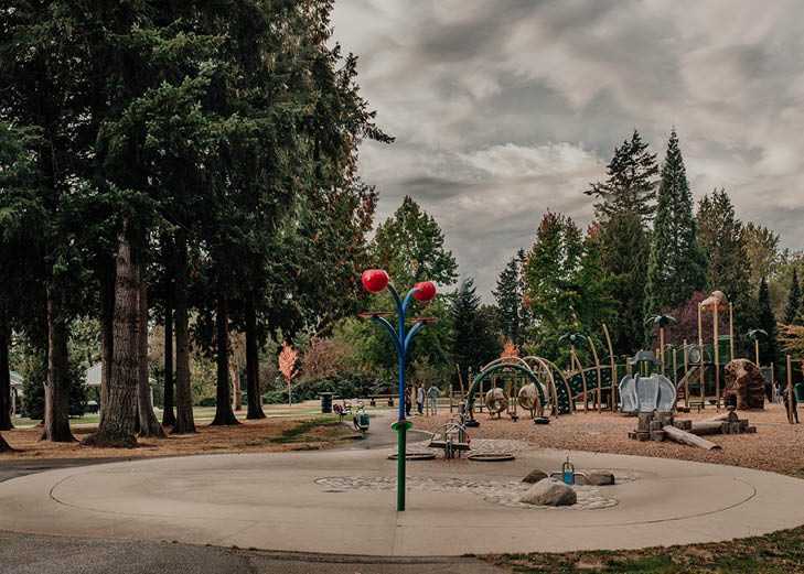
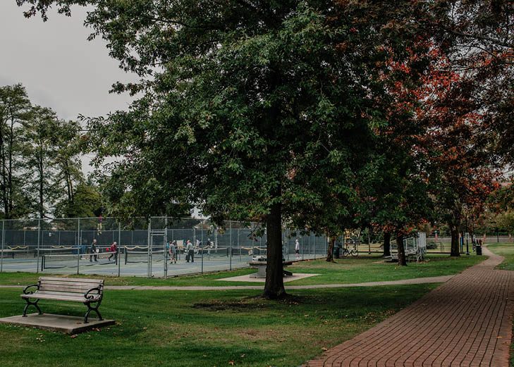
The civic block. City Hall, the library branch and Timms Community Centre all share 20399 Douglas Crescent, with the RCMP community office close by on the same street. Douglas Park and the new recreation and childcare centre are a few minutes east. See the Douglas guide.
Groceries. No Frills is at Douglas Crescent and Fraser Highway, and Save-On-Foods is a few blocks west at 20151 Fraser Highway. Safeway is farther east on Fraser Highway. See shops and services.
Transit. Langley Centre exchange is where most local routes meet. The full route list is on getting around.
What kind of homes
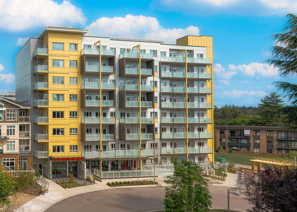
“Downtown” in a search can mean older low-rise apartments, newer buildings, or any address in the central City. We found no figure for how old downtown buildings are, so check the strata or building record, not the label. Newer rental and strata options are on the buying and renting pages. Zoning Bylaw 3300, adopted 9 March 2026, allows taller buildings near the future stations, up to 20 storeys within 200 m, and removes parking minimums in transit areas, which affects whether a new building comes with a parking stall.
What is planned, not built
Plans are not promises. The station, Innes Plaza and Langley Mall are all in the City’s plans, and none has a confirmed construction date. Before you rent or buy for the view of what is coming, check the City’s development portal for the specific site.
- Langley City Centre SkyTrain station. Under construction for late 2029, east of 203 Street at Industrial Avenue. Plans mention public space northeast of Fraser Highway and 203 Street, a new connection from Industrial Avenue and an extension of 203A Street to Fraser Highway.
- Innes Plaza and Innes Corners. The OCP describes possibly enhancing or moving the plaza as part of a future redevelopment.
- Langley Mall. The OCP gives directions for future redevelopment. We found no whole-site date.
- Glover Road Innovation District. Council endorsed the plan on 15 June 2026. It aims to connect downtown, SkyTrain and the university and employment corridor with mixed uses and public space. It is not a finished campus.
The Bypass strip
The Langley Bypass is a different kind of place: big-box stores, car lots and RONA at 20350 Langley Bypass, and the Canlan twin rinks at 5700 Langley Bypass. It is built for driving, with long blocks and wide crossings. The City’s Bypass road and cycling work between 56 Avenue and Fraser Highway is scheduled through December 2026.
Things to know
- Expect construction noise and lane changes for several years. The SkyTrain project line is 1-844-815-6111.
- Weekend and evening parking is tighter than weekday. The rules are on the parking section of getting around.
- The pros and cons are on the pros and cons page, and the whole City is on the overview.
Questions people ask about Downtown Langley
Where is downtown Langley City?
How long does it take to walk the One-Way?
Is the One-Way finished?
Where will the SkyTrain station be?
Are Innes Plaza and Langley Mall being redeveloped?
What can I buy for groceries downtown?
Last checked October 29, 2026. Things change fast in a growing area: confirm anything important (catchments, rents, bus times) with the official source linked. Spotted something out of date? Tell us.