- Bus hub
- Langley Centre exchange, Glover Road at Logan Avenue
- SkyTrain
- 16 km, 8 stations, King George to Langley City Centre; target opening late 2029
- City stations
- Willowbrook (196 Street and Fraser Highway) and Langley City Centre (east of 203 Street at Industrial Avenue)
- Timetable checked
- TransLink schedule effective 7 September 2026; checked 30 October 2026
- Street parking
- No resident-only areas; 72 hours on unposted streets; 48 hours for RVs and trailers
- SkyTrain construction line
- 1-844-815-6111
Today the Langley City bus network pivots on the Langley Centre exchange, on Glover Road at Logan Avenue. In late 2029 the target is a very different centre of gravity: SkyTrain to Surrey and the Expo Line, with a station at the east end of downtown and another at Willowbrook on the western edge. Until then, how well you get around depends heavily on which side of the Nicomekl River you live on.
Buses today
The table summarises the 7 September 2026 timetable, which we checked on 30 October 2026. Intervals are our reading of scheduled departures, rounded into bands; direction, short trips and school-day variations differ, and these aren’t measured reliability. The PDF has the stop-by-stop tables.
| Route | Where it goes from the City | Weekday peak | Weekday daytime | Weekend daytime |
|---|---|---|---|---|
| 320 | Cloverdale, Fleetwood, Guildford, Surrey Central | check timetable | about 30 min | about 30 min |
| 342 | Newton via Highway 10 | 12 to 20 min | about 20 min | 20 to 30 min |
| 364 | Scottsdale via 64 Avenue | 15 to 20 min | about 20 min | 20 to 30 min |
| 372 | Clayton Heights | 20 to 30 min | 20 to 30 min | about 30 min |
| 395 | King George (peak direction) | selected trips | none | none |
| 501 | Carvolth, Guildford, Surrey Central | 10 to 20 min | about 30 min | 20 to 30 min |
| 502 | King George and Surrey Central via Fraser Highway | 12 to 15 min | about 15 min | about 15 min |
| 503 | Surrey Central and Aldergrove | westbound 6 to 15 min | westbound about 15 min | westbound 15 to 20 min |
| 531 | White Rock and Willowbrook | 15 to 25 min | about 30 min | about 30 min |
| 556 | Gloucester | about 30 min, limited windows | none | none |
| 560 | Murrayville and the hospital | about 60 min | about 60 min | about 60 min |
| 561 | Brookswood | about 60 min | about 60 min | about 60 min |
| 562 | Walnut Grove and Fort Langley connections | about 20 min | about 20 min | about 60 min |
| 563 | Fernridge | 30 to 60 min | about 60 min | about 60 min |
| 564 | Willowbrook local | about 60 min | about 60 min | about 60 min |
| 595 | Carvolth and Maple Meadows | about 30 min | about 30 min | about 30 min |
The 503’s Aldergrove branch is less frequent than its City-to-Surrey stretch, and route 566 to Campbell Valley is seasonal rather than year-round. Evenings on several routes stretch to 30 or 60 minutes, so check your trip home.
What this means: the number of routes at the exchange matters less than the route outside your door. An apartment on Fraser Highway has a bus every few minutes; a house served by an hourly 560 or 561 does not. Check the timetable at your actual stop for the hour you would travel, including a weekend. Our transit in Langley page has fares and the trip planner links.
SkyTrain: two stations on the way
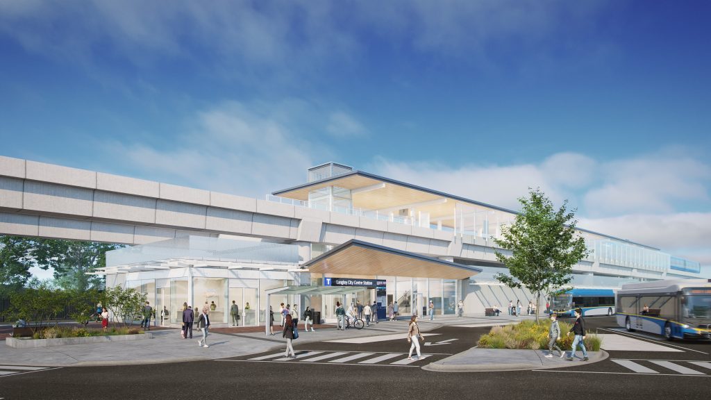
The Surrey Langley SkyTrain is a 16 km, eight-station extension from King George Station. The project’s current target is late 2029. It isn’t running, and construction notices from late October 2026 show lane restrictions and work around Fraser Highway and Industrial Avenue.
| Station | Where | Detail to know |
|---|---|---|
| Willowbrook (future) | 196 Street and Fraser Highway, northeast side of the junction | Planned bus interchange. It sits at the City, Township and Surrey boundary. The City’s “196 Street Station Area” planning district is bigger than the station itself. |
| Langley City Centre (future) | East of 203 Street at Industrial Avenue | Planned bus interchange; it is the eastern terminus. Walk the route from your door, including the Fraser Highway crossing. |
Willowbrook’s shopping centre and its own station-area story are covered in our Willowbrook guide.
What can change near the stations. The City’s zoning bylaw (No. 3300, adopted 9 March 2026) sets the most it will allow within reach of a station: up to 20 storeys within 200 m, 12 storeys within 400 m and 8 storeys within 800 m, subject to an amendment process and airport height limits. Those are ceilings, not required heights. The City’s district policies add public-space and street-link goals, such as extending 203A Street to Fraser Highway and a new connection from Industrial Avenue. They describe what the City wants in future applications, not amenities that exist now.
Until SkyTrain arrives, today’s rail connection is a bus to King George or Surrey Central. Carvolth Exchange in the Township (20255 86 Avenue) offers the 555 toward Lougheed Station, but it is not a City-centre park-and-ride, and we found no confirmed commuter parking at either future City station. Don’t plan around free long-stay parking until the project publishes it.
How long does it take to get places?
- Surrey Central: sample weekday 502 trips from Langley Centre, 7:09 to 8:15 and 10:03 to 11:07, took 64 and 66 minutes, before the walk to the stop and any wait.
- Downtown Vancouver by car: about 47 km from 200 Street and Fraser Highway, around 50 minutes in free-flowing traffic according to our Getting there from Langley table. At rush hour it is longer, and Highway 1 is reached through the Township.
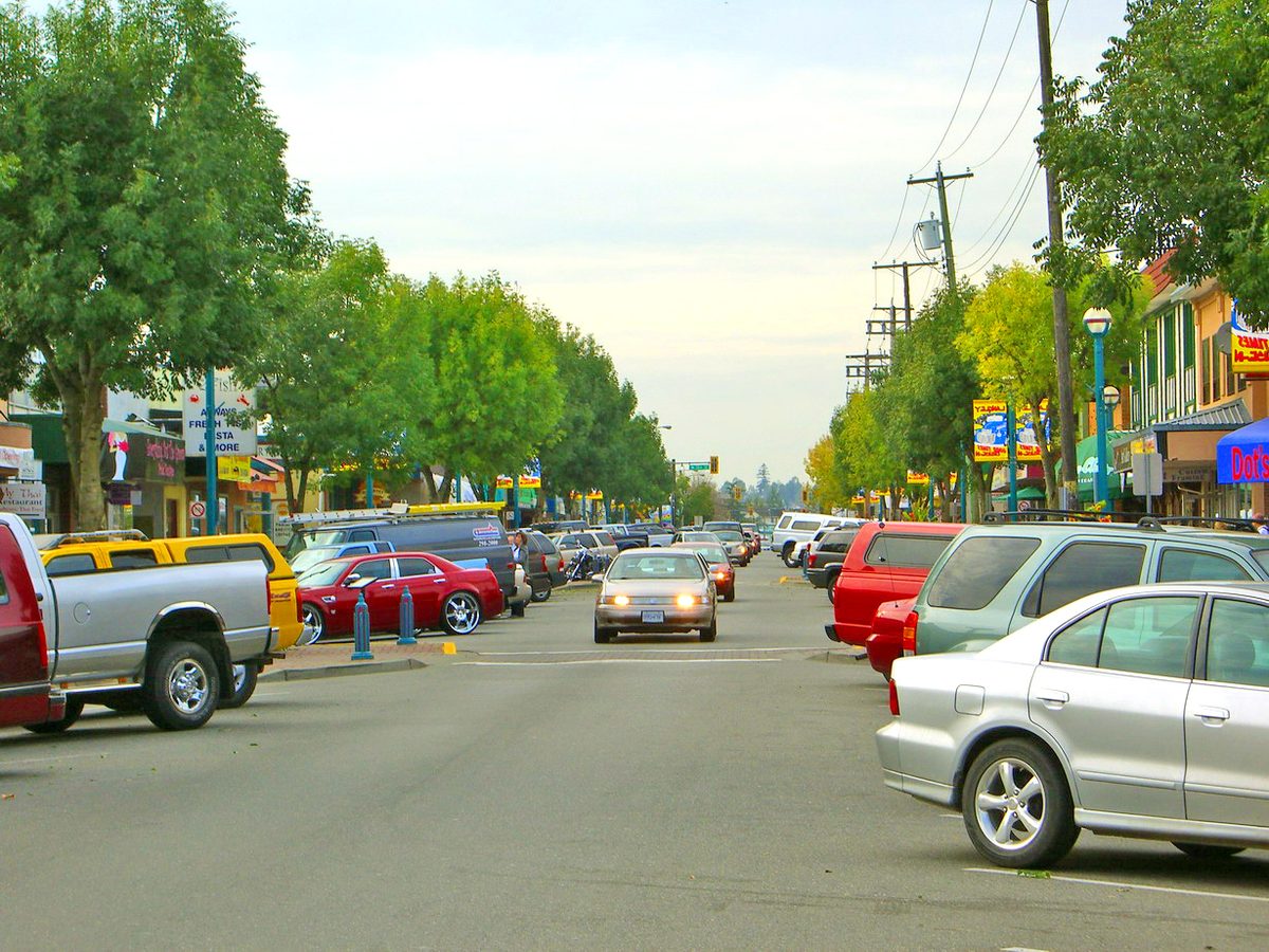
- Downtown Langley on foot: the One-Way between 204 and 206 Street is roughly 400 m, about five minutes at a walking pace, ignoring crossings. City Hall, the library and Timms Community Centre (20399 Douglas Crescent) and Douglas Park are good endpoints for a test walk.
- Abbotsford and the border: see the same getting-there table; we haven’t timed them from the City.
Driving and construction
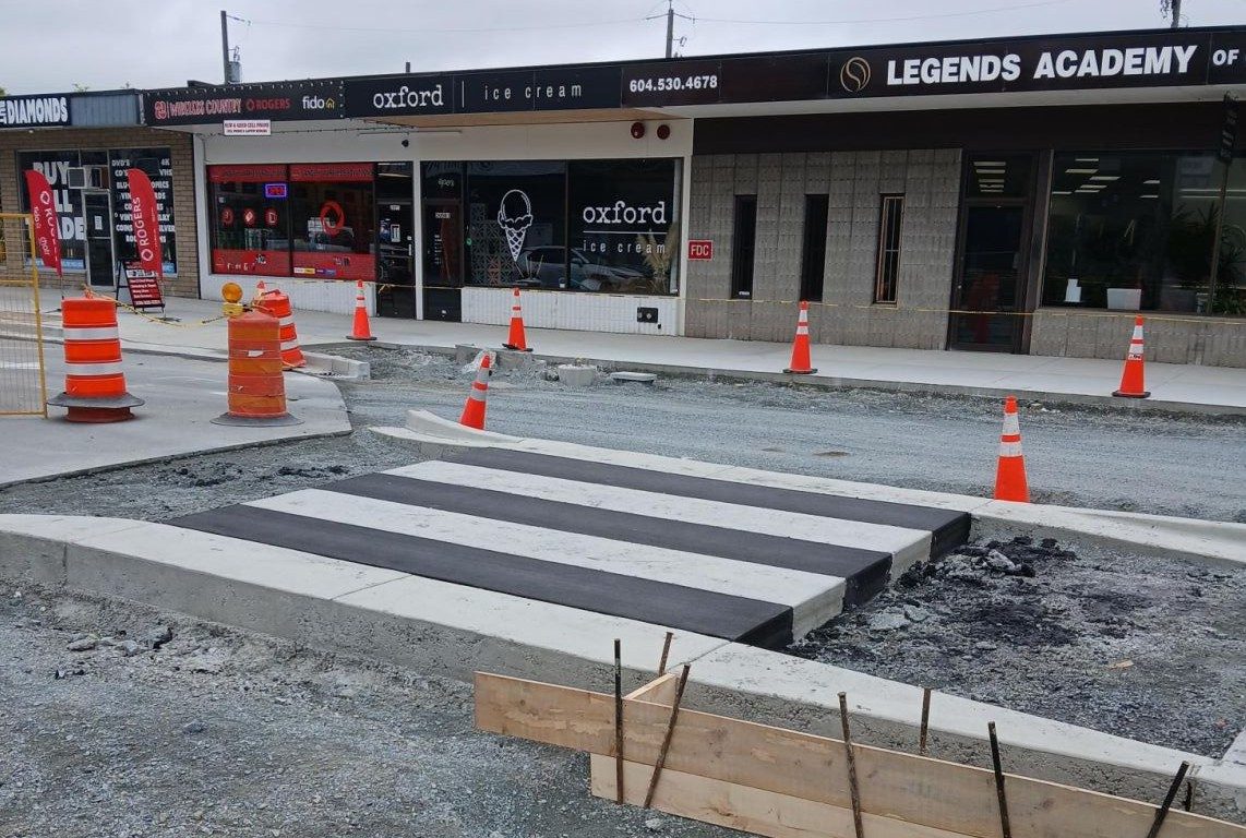
The main City streets are 200, 203/204 and 208 Streets, Fraser Highway, 56 Avenue and the Langley Bypass, Glover Road and Grade Crescent. Highway 1 is north of the City, through the Township; no City address sits beside an interchange. In 2026 the City has Bypass roadway and cycling work between 56 Avenue and Fraser Highway (scheduled through December 2026) and rehabilitation on 208 Street and Fraser Highway, and SkyTrain adds its own lane restrictions. A promised completion month isn’t proof a road has reopened, so check the dated notice for your block on our road closures page.
Walking and cycling
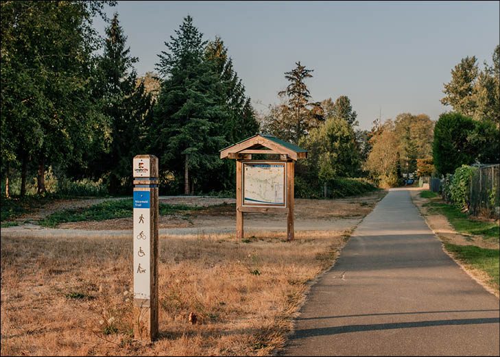
The Nicomekl trail system provides east-west routes and park links, and the Bypass project adds a protected road corridor. We could not find a continuous protected route from every southern neighbourhood to the future stations, so test your route. Use the City’s trail map, see our Nicomekl River trails and bike lanes and cycling pages, and report a missing sidewalk or path problem through the City’s service request portal.
Parking in Langley City
These are City of Langley rules, checked October 2026. The Township has its own.
| Situation | What the City says |
|---|---|
| Street parking | No resident-only parking areas. Posted signs rule; on unposted street space the limit is 72 hours, and moving within the same block doesn’t reset it. |
| Downtown errands | Read the sign on your block for time limits, loading and accessible spaces. |
| RV or trailer on a street | 48 hours; a trailer must be attached to a vehicle with an engine. |
| RV or boat on your lot (R1/R2 zones) | One recreational vehicle, inside a building or, if operable and licensed, behind the front and exterior-side wall planes. 1 May to 30 September it may sit elsewhere on the lot; outdoor length is capped at 10 m. |
| Sleeping in a street-parked vehicle | Not allowed under City parking rules. People who need housing can contact the services on our pros and cons page. |
| Commercial trucks overnight | Vehicles over 5,600 kg are restricted on streets from midnight to 8 a.m. |
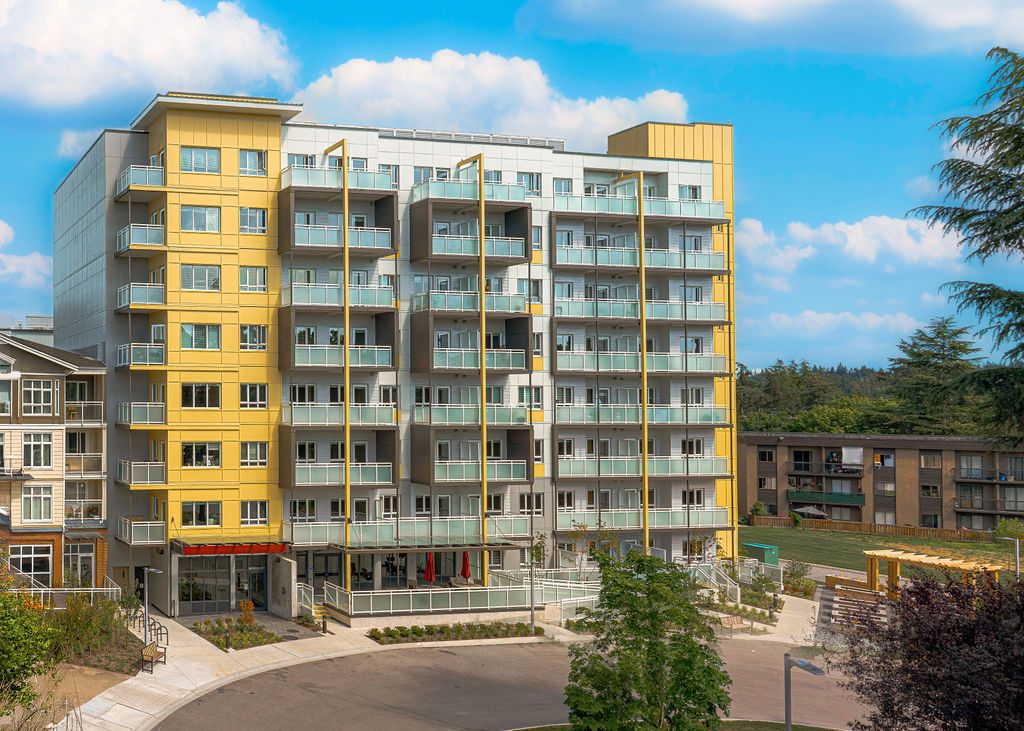
| Apartments near stations | Ordinary residential parking minimums are gone in designated transit areas, so ask what comes with your unit. Public curb space isn’t part of a lease or strata lot. |
The traffic bylaw the City links is a November 2023 consolidation, so check recent amendments and the posted signs. For a parking complaint, use the City’s service request portal. Transportation 2050, the City’s long-range plan, discusses lower-speed neighbourhood streets, but that doesn’t mean a City-wide 30 km/h limit. For speeding or cut-through traffic on your street, submit it with the street, time of day and crossing so it can be assessed. The Langley-wide parking guide and getting around guide cover the Township and region.
Read next: Langley City overview, renting (parking and the small print) and downtown.
Questions people ask about Langley City
When will SkyTrain open in Langley City?
Where will the SkyTrain stations be in Langley City?
Will there be free parking at the new stations?
How do I get from Langley City to Surrey Central or the Expo Line now?
How good are the buses in Langley City?
Is there a bus to Langley Memorial Hospital?
Can I park an RV or boat in Langley City?
Does Langley City have resident-only parking permits?
How do I report a parking or road problem?
Last checked October 29, 2026. Things change fast in a growing area: confirm anything important (catchments, rents, bus times) with the official source linked. Spotted something out of date? Tell us.