- What it is
- A named designation in the Township’s Rural Community Plan. Roughly 232 to 248 St, between Fraser Highway and Highway 1; the adopted map controls
- Schools to check
- Peterson Road Elementary (23422 47 Ave), North Otter Elementary, D.W. Poppy Secondary (23752 52 Ave)
- Nearby
- Ralph’s Farm Market, 22728 Fraser Hwy; Williams Park, 68 Ave and 238 St
- Groundwater
- Hopington AB aquifer: shallow and unconfined per older Township background. Get your well’s own record
- Plan changes
- Rural plan amendment (11 March 2024); Fraser Highway Employment Lands plan (15 Dec 2025)
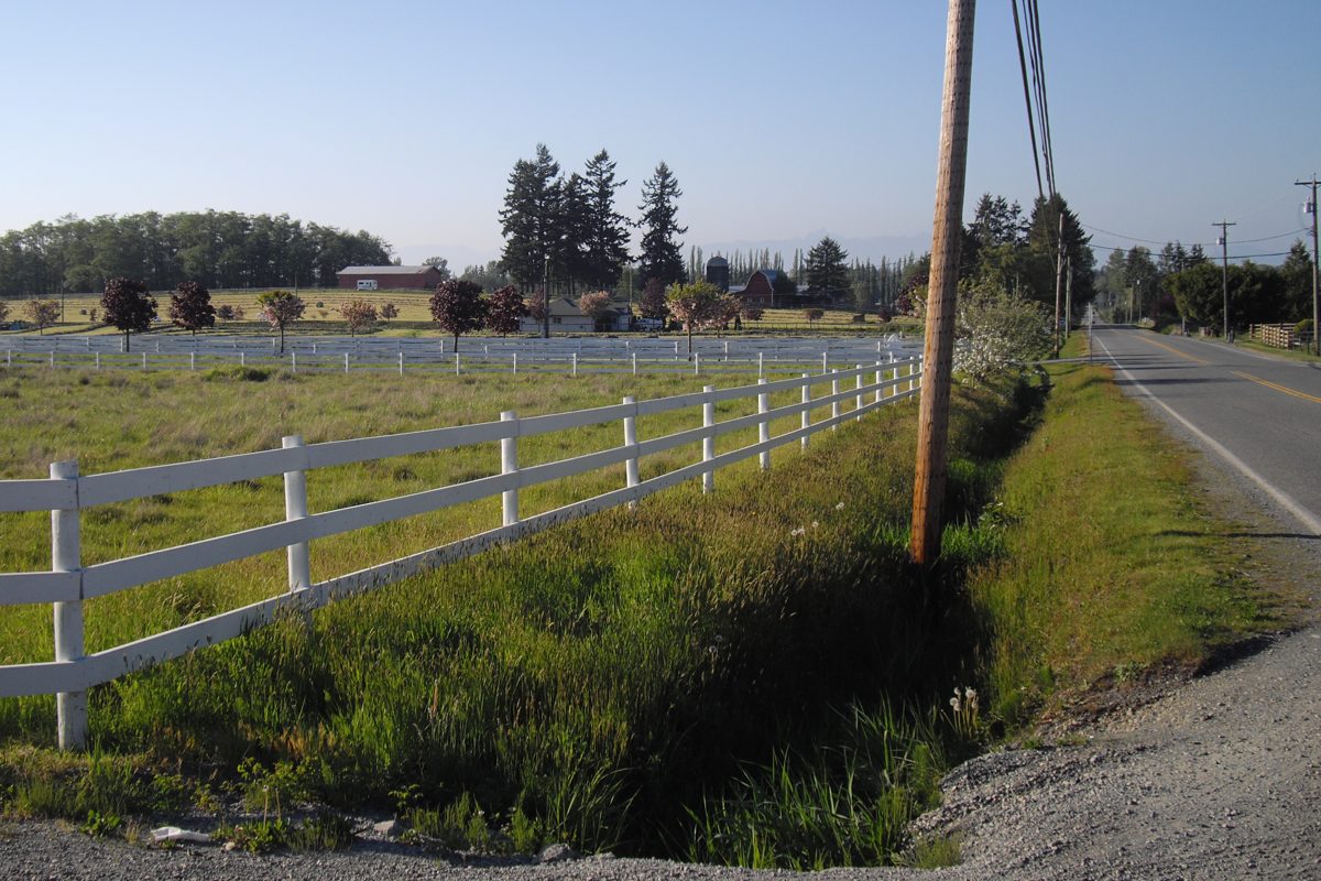
“Salmon River Uplands” sounds like a neighbourhood, and it is easy to find it in a listing. It’s actually a planning term: a named designation in the Township’s Rural Community Plan. The mapped shape is irregular, but it lies mostly between about 232 and 248 Streets, from Fraser Highway up toward Highway 1, with some extra mapped land around the 232 Street side north of the highway. That is only a road-based orientation. The adopted map is what counts.
Why does the label matter?
Because it separates an existing country residential lot from an advertised future subdivision. The plan was amended on March 11, 2024, and that amendment is in the current consolidated plan, but by itself it doesn’t make any particular parcel divisible or connectable to sewer. Before you pay for the possibility, ask the Township for the parcel’s current designation, zone, servicing requirements and application history. The Township’s development-potential check is the start, and local area service costs can fall on owners. Our housing page has the checklist.
Also don’t treat “Salmon River” in a property search as the same thing. The watershed label is broader than this mapped designation.
What’s changing along Fraser Highway?
The southern edge of the area overlaps the conversation about Fraser Highway employment land and servicing. These are the dated facts:
- Employment Lands: the reference plan, endorsed December 15, 2025, covers about 152 ha of non-ALR land around 228 to 240 Street. It is a planning framework, not rezoning.
- Widening: a TransLink contribution of about $3.535 million in 2025 relates to Fraser Highway widening, multi-use path and intersection work in the 24300 to 24600 block. A grant isn’t proof the work is complete, and we couldn’t find a completion date.
- Sewer: the 2026 capital schedule funds $260,000 of design for the 23400 to 24900 block. A $2.6 million 2027 construction entry is marked unfunded, so don’t plan around a 2027 connection.
- Flood and drainage: the Salmon River Pump Station upgrade (design and tendering authorized in March 2026, construction expected spring 2027) is aimed at drainage and fish passage. It reduces a problem rather than eliminating it.
What about the aquifer?
Hopington is a documented local name, mostly seen through the Hopington AB aquifer and the Salmon River area. We found no official hamlet boundary. The Township’s older background material describes the aquifer as shallow and unconfined and raises groundwater-management concerns. That material is more than two years old, so it can’t tell you anything about your own well today. Get that well’s log, yield and current lab results, as the Fraser Health buyer guide recommends.
What’s nearby?
- Schools: Peterson Road Elementary (23422 47 Avenue) and D.W. Poppy Secondary (23752 52 Avenue) are the nearby anchors, and North Otter serves another part of the wider area. Vanguard, an alternative education school, is at 3825 244 Street. See schools.
- Shopping: Ralph’s Farm Market at 22728 Fraser Highway, with the Otter node farther east. See shops and services.
- Park: Williams Park, north of the highway at 68 Avenue and 238 Street, has forest trails, a playground, picnic shelters and parking. A $300,000 electrical conduit project is in the 2026 capital budget.
- Housing mix: we haven’t found a single dominant house age, so ask about the individual property.
Sperling and Harmsworth
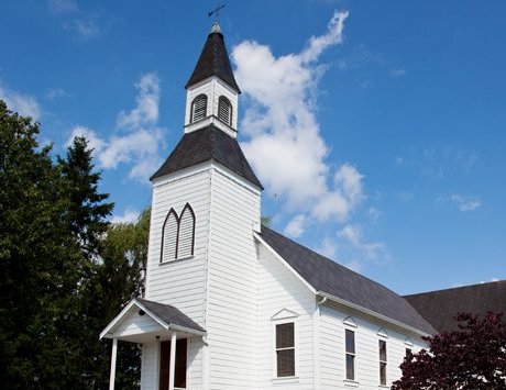
These two railway-era names sit on this side of the Township. Sperling’s historic cluster is around 240 Street and 72 Avenue and the former electric railway line, with a station from 1910 and a church from 1912. The former church closed in 1969 and is now a private residence, so it isn’t a public attraction. Harmsworth was another station, associated with 232 Street. The railway heritage explains the names. It doesn’t tell you how many trains pass today or how loud they are, so visit a property at different times. Williams Park (see our Williams Park page) is the nearby public destination for both. For how farmland is regulated and used across the Township, see farming and agriculture, and the Langley-wide buying a home guide covers the general purchase steps.
Back to the rural Langley overview, or read about neighbouring Otter.
Questions people ask about Salmon River Uplands
What is Salmon River Uplands?
Can I subdivide a lot in Salmon River Uplands?
Is Salmon River Uplands the same as the whole Salmon River?
Where is Hopington?
Which schools serve the Salmon River area?
What is happening along Fraser Highway here?
Last checked October 29, 2026. Things change fast in a growing area: confirm anything important (catchments, rents, bus times) with the official source linked. Spotted something out of date? Tell us.