- Regional parks
- Campbell Valley, South Langley, Aldergrove and Glen Valley (run by Metro Vancouver)
- Township parks
- Williams, Otter, Milner and High Point Equestrian Park, plus a dozen smaller rural parks
- Easiest first walk
- Little River Loop, about 2.2 km, Campbell Valley North Valley entrance
- Indoor recreation
- W.C. Blair (22200 Fraser Hwy) and Aldergrove Community Centre (27032 Fraser Hwy)
- Horse shows
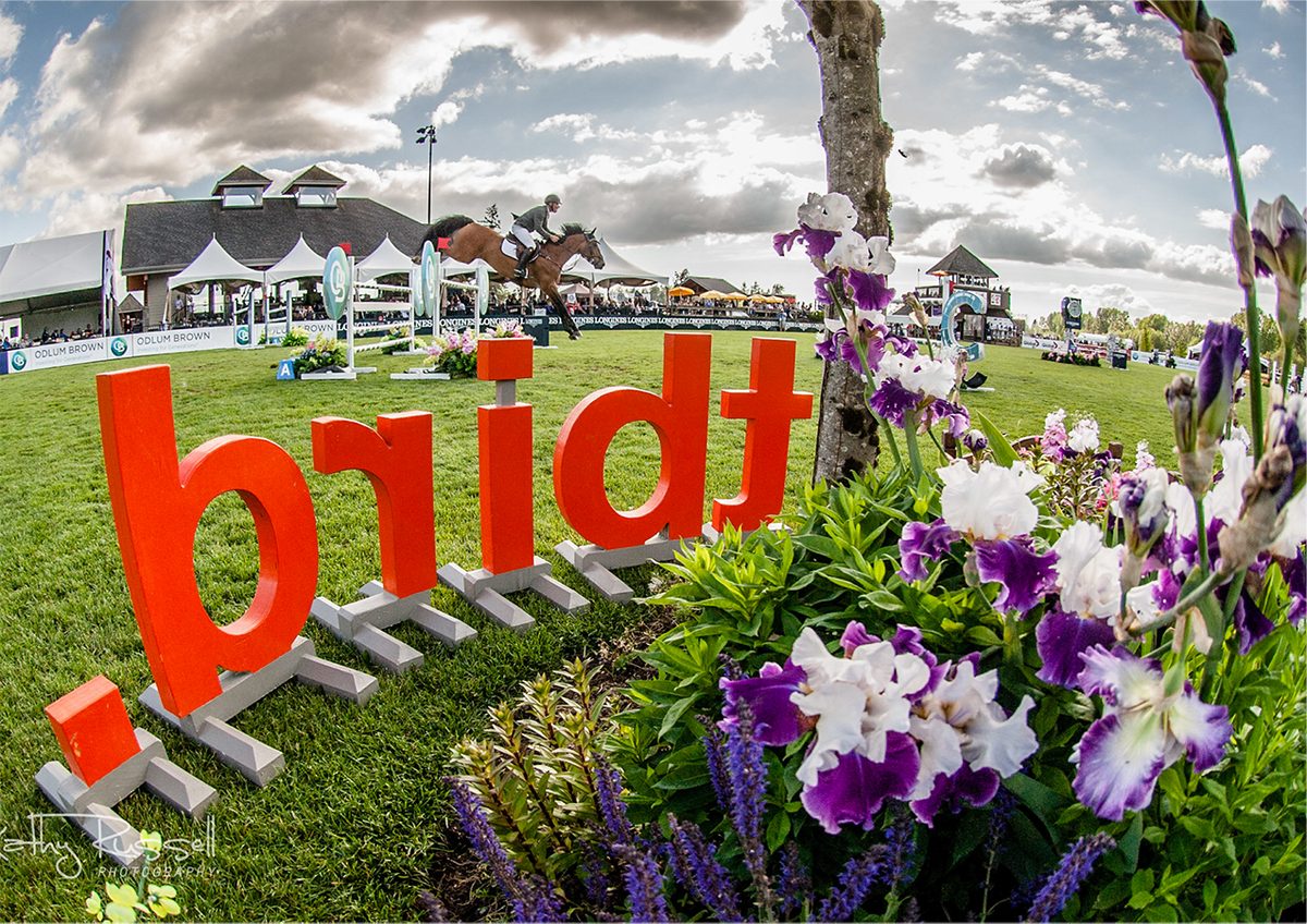
- Thunderbird Show Park, 6975 248 St spectator entrance. Check its event calendar
Start with the Little River Loop. It is about 2.2 km of flat valley-floor path in Campbell Valley Regional Park, entered from the North Valley gate off 16 Avenue between 200 and 204 Streets, and Metro Vancouver’s brochure has accessibility notes for it. That’s the easy introduction to what rural Langley’s parks are like: big, wooded, shared with horses, and run by Metro Vancouver rather than the Township.
A word on access before the list. A park boundary touching a road doesn’t mean there’s a public entrance there, and a heritage building or a neighbouring farm is not open to visitors just because you can see it. Use the operator’s map, and don’t cross private land to get a better view.
Where are the parks and what do they offer?
| Park | Entrance | What’s there | Watch for |
|---|---|---|---|
| Campbell Valley Regional Park | North Valley: 16 Ave between 200 and 204 St. South Valley: 8 Ave at 204 St. Campbell Downs: 208 St south of 16 Ave | Walking and riding trails, washrooms, picnic areas, horse-trailer parking at Campbell Downs, off-leash area off 4 Ave. The map also marks the Lochiel Schoolhouse, Annand/Rowlatt Farmstead and the historic Langley Speedway site | Bikes only on designated routes. Building interiors are not always open |
| South Langley Regional Park | 224 St between 4 and 8 Ave | Irene Pearce Trail (1.2 km) through forest and wetland | March 2025 map marks large areas No Public Access |
| Aldergrove Regional Park | Main: 8 Ave east of 272 St. Equestrian: near 272 St and 6 Ave | Walking, riding and designated cycling routes, picnic areas, washrooms, off-leash areas. Extends into Abbotsford | Use the equestrian trailhead if you arrive with a trailer |
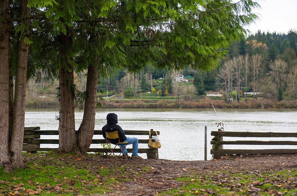
| Glen Valley Regional Park, Two-bit Bar | North end of 272 St at River Rd | Fraser River viewing, parking, toilet | Riverbank hazards and private land around it. Brochure is from November 2022, so check current notices |
| Williams Park | 68 Ave and 238 St | Forest trails, playground, washrooms, picnic shelters, parking | A $300,000 electrical conduit job is in the 2026 capital budget, with no completion date we could find |
| Otter Park | 20 Ave and 248 St | Wooded walking and riding routes, washrooms, picnic shelter | Use the mapped access |
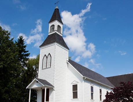
| Milner Park | Glover Rd and 216 St | Playground, playing fields, basketball, tennis and pickleball, washrooms, parking | Beside Milner Hall and chapel |
| High Point Equestrian Park | 2 Ave and 200 St | Pond, playground, equestrian trails, parking | Part of the Brookswood-Fernridge park group |
| McLellan Natural Forest and Blaauw Eco Forest | Glen Valley, around 257A St and 84 Ave | Forest walks. A 2022 Township nature-tour guide gives a 2 km route | Guide is dated, so confirm the entrance on the Township map |
| Derby Reach Regional Park | Fraser River edge, Allard and McKinnon Crescents | Riverfront recreation and the Houston Trail | 2013 plan is dated. Check current notices before relying on facilities |
The Township’s park list also names Bluff, Brown, Forest Knolls, Gloucester, Jackman Wetlands, Kelly Lake, Linton Harris, McMillan, Milaster Natural, Milner Cairn, Nathan Creek Wetlands, Ponder and Steele Parks. We haven’t confirmed each one’s entrance and facilities, so use the Township facilities directory first. Our broader lists: hikes and walks, off-leash dog parks and playgrounds.
What walks and rides are worth planning?
| Route | Length and feel | Starting point |
|---|---|---|
| Campbell Valley Little River Loop | About 2.2 km, easy, valley floor | North Valley entrance |
| South Langley, Irene Pearce Trail | 1.2 km, forest path, not confirmed as accessible paved | 224 St access |
| Aldergrove, Pepin Brook loop | 3.5 km with grade changes | Main park access |
| Aldergrove, Rock 'n Horse Trail | 6.75 km, shared, some steeper and curving sections | Equestrian parking |
| Derby Reach, Houston Trail | About 4 km in the 2013 plan, wooded with grades | McKinnon Crescent side. See also Houston Trail and the bog |
The South Langley Regional Trail’s current end-to-end length is not something we could pin down, so use Metro Vancouver’s park map and our South Langley Regional Trail page rather than an old partial figure.
Horse country, clubs and facilities
Thunderbird Show Park is an event venue. The spectator entrance is 6975 248 Street, and the show office is at a different address, so read the event calendar and access instructions before you go. Langley Riders Society (4303 208 Street) is a riding club, and Pacific Riding for Developing Abilities (1088 208 Street) runs adaptive riding with volunteer roles. We don’t have 2027 programme dates for either. See our horse country guide.
If you’re thinking of keeping a horse, trail proximity is only part of it. Check lawful horse use for the zone, a safe trailer entrance, water, mud and runoff control, and manure storage and removal. The Langley Environmental Partners Society publishes stewardship resources for horse and small-lot owners.
Indoor recreation, sport and community halls
The indoor anchors are urban-edge trips: W.C. Blair Recreation Centre (22200 Fraser Highway) for the central side, and Aldergrove Community Centre (27032 Fraser Highway) for the east. Check the Township’s current swim, arena and registration schedules. Youth soccer registers through Langley United Soccer, and our youth programs page has more.
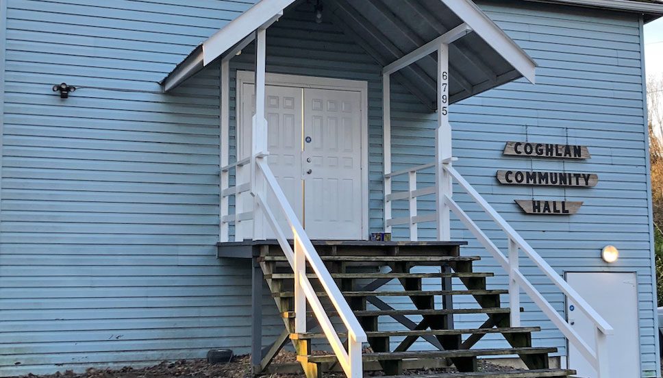
Halls are the hamlets’ gathering places. Milner Community Association looks after Milner Hall (6830 216 Street) and the chapel, and describes an annual picnic and a fall potluck. Coghlan Hall (6795 256 Street) is bookable. For local calendars see annual events in Langley.
Back to the rural Langley overview. For the quirks of particular areas, see South Langley and Campbell Valley, Glen Valley and Milner. Getting to a trailhead without a car is limited: see getting around.
Questions people ask about Rural Langley
What is the best park in rural Langley?
Where can I ride horses in rural Langley?
Are dogs allowed off leash in rural Langley parks?
Can I walk to the river in Glen Valley?
Can I use the South Langley Regional Park trails?
Is there a swimming pool or arena in rural Langley?
Can I go to Thunderbird Show Park for free?
Last checked October 29, 2026. Things change fast in a growing area: confirm anything important (catchments, rents, bus times) with the official source linked. Spotted something out of date? Tell us.