- Where
- Along the Fraser River east of Fort Langley: River Road, 88 Avenue, 264 Street and 272 Street, west of the Abbotsford boundary at 276 Street
- Main park
- Glen Valley Regional Park, Two-bit Bar: north end of 272 St at River Rd
- Flood check
- OCP Map 13 and the Township flooding page
- Bus
- No general all-day service on the river roads
- Road work
- 272 St, Nathan Slough Bridge: alternating single lane since 14 Oct 2026
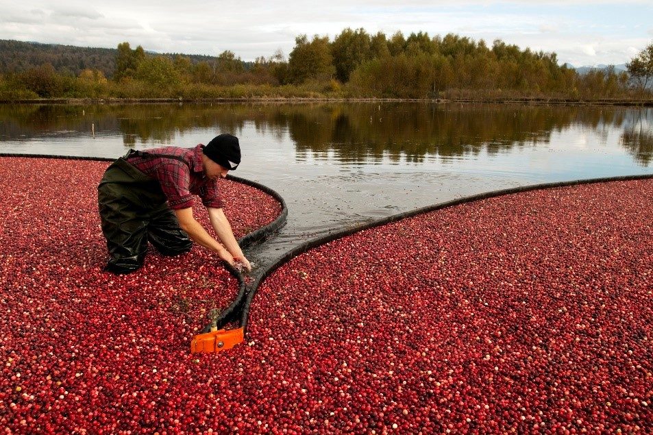
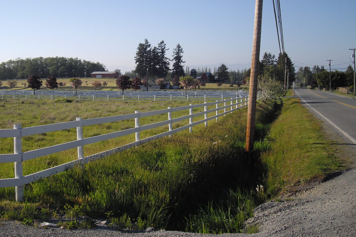
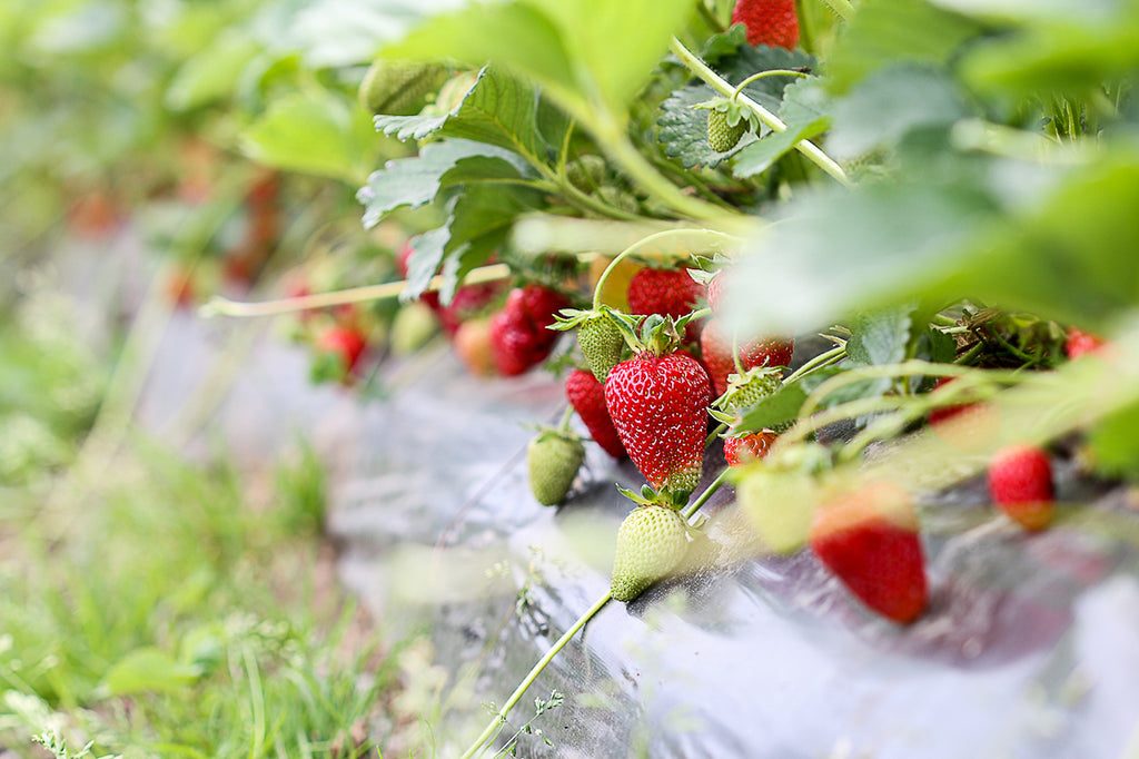
Glen Valley is the low, flat farmland along the Fraser River east of Fort Langley. Dairy farming has long been its mainstay, according to the Encyclopedia of BC, and the first settler, Gilbert McKay, arrived in 1877. Today it is one of the quietest parts of the Township: river roads, big fields and not much else, which is the point for the people who live here and the main thing to weigh for anyone who doesn’t.
Where is Glen Valley, exactly?
For this page, think of the Township portions around River Road, 88 Avenue, 264 Street and 272 Street, with the Abbotsford boundary at 276 Street on the east. The regional park has separate sites that reach across that line, and “Glen Valley” shows up on both sides. We found no single official residential boundary for it, so locate the actual parcel on the Township’s GeoSource map rather than relying on a listing label.
What’s the land like?
The useful distinction is the lowland farmland by the river versus the higher ground farther south. That difference is where the flood questions live. Before you buy, pull up Map 13 (Flood Hazard) of the Official Community Plan and the Township’s flooding page, then look at the house, the driveway, the septic field and any barns on their own. A house above a mapped level can still have an access road that goes under water. The Township’s creek and stream guidance also matters before you fill a ditch or touch a crossing. We haven’t found a published breakdown of house ages or acreage sizes in Glen Valley, so ask for the property’s own history.
The housing page has the full checklist for wells, septic and ALR rules: rural Langley housing.
What’s nearby?
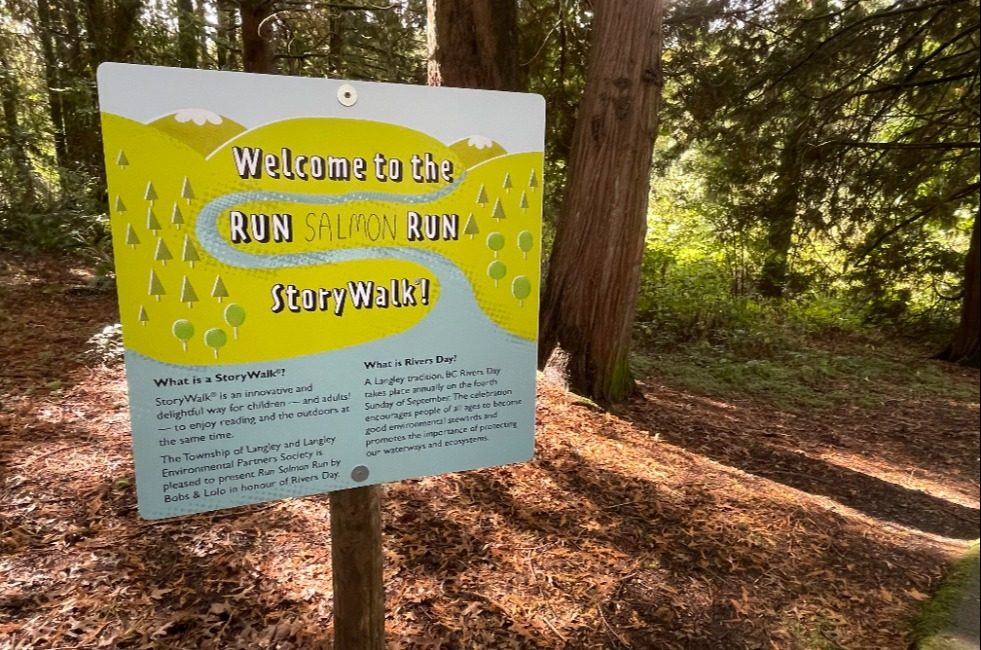
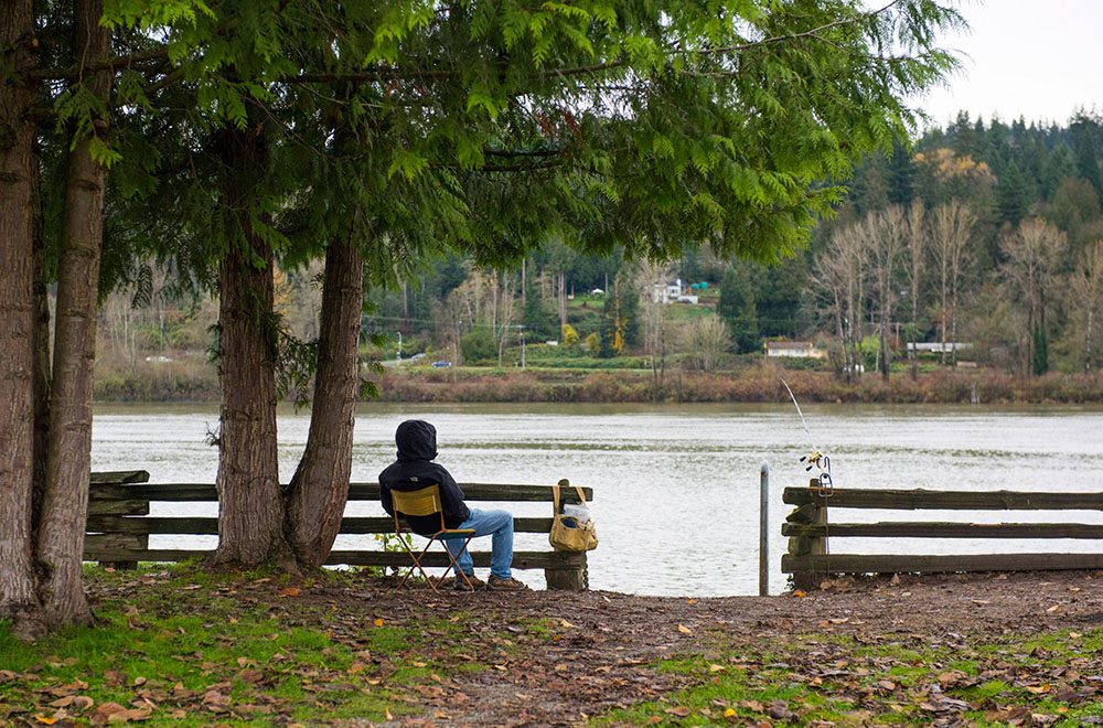
- Parks: Glen Valley Regional Park’s Two-bit Bar, at the north end of 272 Street where it meets River Road, has parking, a toilet and Fraser River viewing. It is a river viewpoint, not a long loop, and the riverbank has hazards, so stay on the park. The brochure we used is from November 2022, so check Metro Vancouver’s current notices. The McLellan Natural Forest and Blaauw Eco Forest area, around 257A Street and 84 Avenue, offers forest walks, but confirm the designated entrance first. Our Glen Valley Regional Park page has more.
- Cycling: Metro Vancouver’s Brae Island brochure describes an 18 km, flat, one-hour route from Fort Langley to the park along quiet country roads.
- Shops: no full-service grocery or pharmacy in Glen Valley that we could confirm. Time the drive to Fort Langley and to Aldergrove from the actual driveway. See shops and services.
- Library: the Fort Langley Library at 23430 Mavis Avenue. An older address on Glover Road is out of date.
Which schools serve Glen Valley?
Check Fort Langley Elementary and North Otter Elementary, with D.W. Poppy Secondary at the secondary level, depending on the address. Boundaries are in the SD35 locator. Because there’s no general public bus through the river roads, bus eligibility under the district’s 3.2 km and 4.8 km rules matters more than usual: see schools.
Getting around
Glen Valley is a driving area. There is no general all-day bus on the river roads, so the practical trips are by car along 264 and 272 Streets and toward Fort Langley or Fraser Highway. Right now, the Township has alternating single-lane traffic on 272 Street at Nathan Slough Bridge (8700 to 8800 block) from October 14, 2026, until further notice, so check the closures page before you plan a regular route. See getting around.
Things to know
- Flood exposure is a property-level question. Ask Township Engineering (604-532-7300) if the map and the property don’t match what you see.
- Parkland doesn’t confer public access through neighbouring farms. Respect private-property signs.
- If you are comparing it with a village, Fort Langley offers shops and a walkable core within a short drive.
Back to the rural Langley overview.
Questions people ask about Glen Valley
Is Glen Valley in Langley or Abbotsford?
Does Glen Valley flood?
What schools serve Glen Valley?
Is there a bus in Glen Valley?
Where do Glen Valley residents shop?
What is there to do in Glen Valley?
Last checked October 29, 2026. Things change fast in a growing area: confirm anything important (catchments, rents, bus times) with the official source linked. Spotted something out of date? Tell us.