- Two governments
- The City of Langley and the Township of Langley are separate municipalities with separate councils, taxes and bylaws
- Size
- City: about 10 square kilometres and roughly 35,316 people, per the City. Township: more than 150,000 residents (2025) per the Township, with 75 per cent of its land (235 square kilometres) in the Agricultural Land Reserve
- Township boundaries
- The Fraser River on the north, the US border on the south, 196 Street on the west (against Surrey, except where it meets the City) and 276 Street on the east (against Abbotsford)
- Last checked
- October 27, 2026
“Where in Langley?” is a harder question than it sounds. The answer might be a downtown grid a few blocks across, a village on a river, or a farm road with no village at all. Here is how it fits together.
City or Township?
They’re two separate municipalities, and the City is carved out of the western part of the Township’s territory, which is why the Township’s west boundary is described as 196 Street “except where bordered by the City of Langley”. The City is small and urban: the City’s own page calls it a 10-square-kilometre urban centre with about 35,316 people and over 346 acres of parkland, and says the original settlement was known as Innes Corners and later Langley Prairie. The Township is everything around it, and it is large: the Township says it has more than 150,000 residents in six urban centres, plus rural land. It was incorporated in Fort Langley in 1873 and calls itself the “Birthplace of BC”.
That difference matters in practice. Garbage pickup, recreation passes, permits and council meetings all belong to one municipality or the other, depending on which side of the line you live on. On our pages we say which one we mean. The councils are on the City council page and the Township council page.
The City’s neighbourhoods
The City hasn’t published a single official list of named neighbourhoods that we could find, so we don’t invent one. It has, however, started a pilot that uses two names: its new Resilient Neighbourhood Networks program, endorsed by council in February 2026 from a citizens’ assembly recommendation, picked Nicomekl and Douglas as the first two neighbourhoods after a community vote. The City’s guide is Langley City: a neighbourhood guide.
The Township’s communities
The Township’s own website describes seven areas, and each one has a guide of ours:
| Area | The Township’s description, in brief | Our guide |
|---|---|---|
| Willoughby-Willowbrook | The northwest of the Township, home to the Civic Facility and the Langley Events Centre, with newer neighbourhoods and shopping | Willoughby guide |
| Walnut Grove | A residential neighbourhood in the northwest with the community centre, movie theatres and shops, linked to the north side of the Fraser by the Golden Ears Bridge | Walnut Grove guide |
| Murrayville | “The traditional civic core”: Langley Memorial Hospital, the RCMP main detachment, the school district offices, W.C. Blair Recreation Centre and Langley Regional Airport | Murrayville guide |
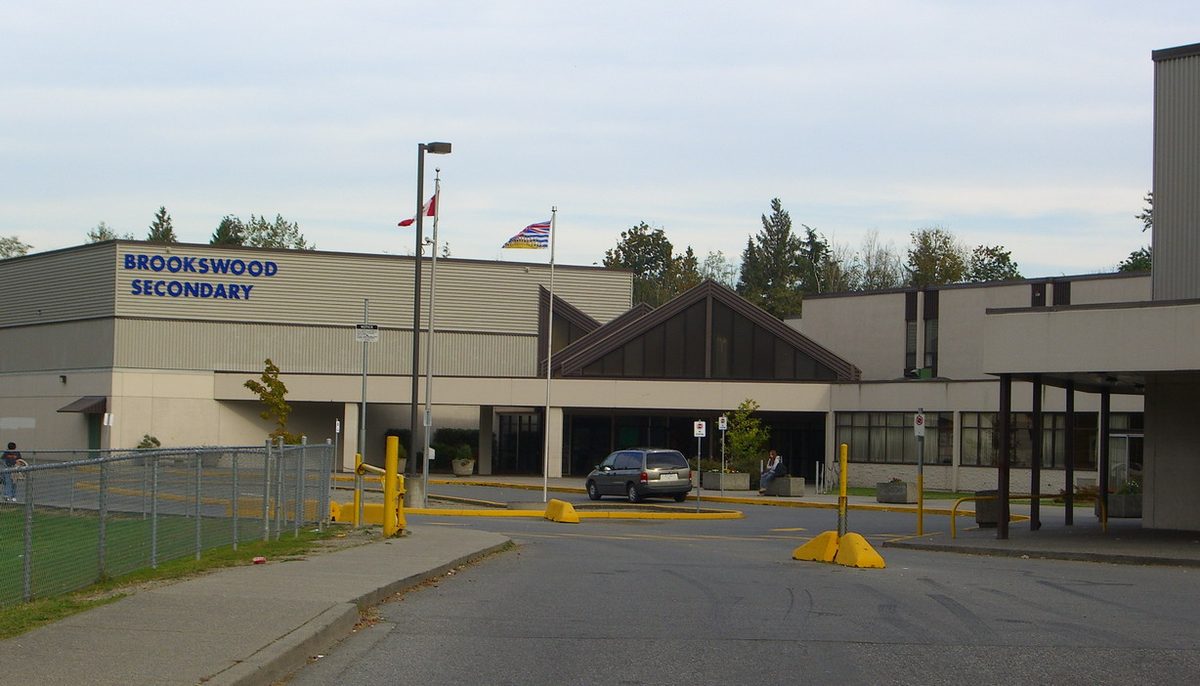
| Brookswood-Fernridge | In the south, noted for parkland, trees and conservation areas, mostly single-family homes, with the George Preston Recreation Centre, a BMX track and a skateboard park | Brookswood guide |
| Fort Langley | On the Fraser River, with museums, shops, restaurants, galleries, the Hudson’s Bay Company’s national historic site and the Langley Rowing and Paddling Centre | Fort Langley village guide |
| Aldergrove | On the eastern border, a mix of rural, residential and business use, including the Gloucester Industrial Park | Aldergrove guide |
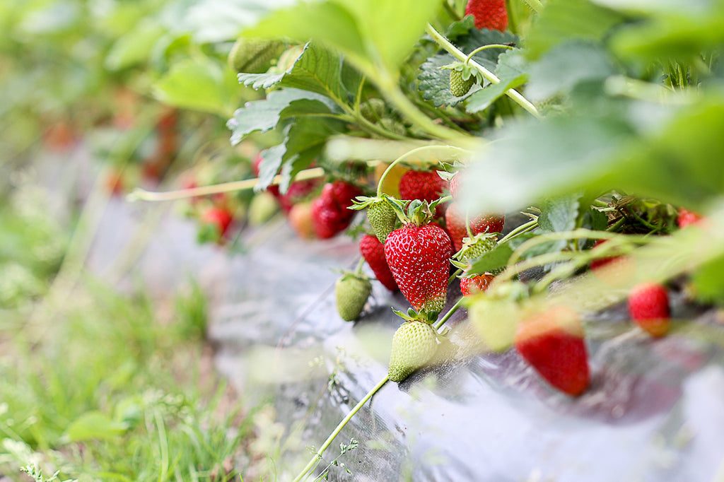
| Rural area | About 75 per cent of the Township is in the Agricultural Land Reserve: farms, wineries, equestrian centres, golf courses and acreage homes around the urban areas | Rural Langley guide |
A boundary that just moved
Willoughby is the area where the paperwork has changed most this year. On June 15, 2026, Township council adopted bylaws 6201, 6202 and 6203, which replaced the Willoughby Community Plan, created the Willoughby Transit Corridor Plan and the Gordon Neighbourhood Plan, and repealed seven older neighbourhood plans: Carvolth, Jericho, Latimer, Routley, South West Gordon Estate, Central Gordon Estate and North East Gordon Estate. Applications made before June 15, 2026 may still proceed under the old plans until June 15, 2028.
Where to go from here
If you’re new to the area, start with the history of Langley, then pick the guide for the place you’re heading. The Township’s community and neighbourhood plans page lists the adopted plans for each area.
Something out of date? Tell us.
Last checked October 26, 2026. Spotted something out of date? Tell us.