- Where
- North of 96 Avenue, around 204 to 208 Street and 98 Avenue for Derby Hills, with business and industrial land west toward the Surrey boundary
- Official status
- Northwest Langley Community Plan (Bylaw 2323, original 1985, consolidated with January 2026 amendments)
- Local landmarks
- Yeomans Heritage Parkette at 96 Avenue and 208 Street; Derby Hills Park at 20501 98 Avenue
- Mix
- Suburban residential, industrial and service-commercial land and conservation corridors
- Truck parking
- Northwest Langley is a proposed 2027 phase of the Township pilot; not in place
- Schools
- Gordon Greenwood and West Langley are nearby; north-side streets need an address check
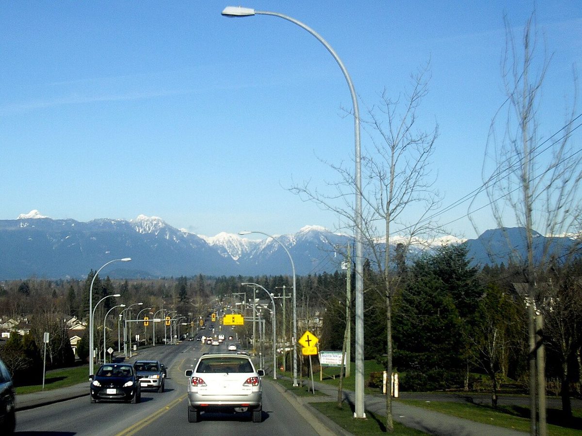
North of 96 Avenue, the suburban grid of Walnut Grove thins out. Houses sit on bigger pieces of land, creeks cut through, a railway and warehouse district show up to the west, and the Fraser River lowlands are not far beyond. It’s the part of the area where the label on a listing matters most, because “Walnut Grove” can mean quite different things depending on which side of 96 Avenue the address sits.
The name, the plan and the places
The official name for this area is Northwest Langley. It has its own Township community plan (Bylaw 2323), originally from 1985 and consolidated with amendments to January 2026. It is separate from the Walnut Grove community plan that covers Highway 1 up to 96 Avenue. Because everyday usage blurs the two, start by looking up the address on the Township’s online map, using the community and neighbourhood plan page. Our Walnut Grove overview explains how the names fit.
Inside it, a few local names recur. Derby Hills is a park at 20501 98 Avenue and a trail name, used for the residential pocket around 204 to 208 Street north of 96 Avenue. Yeomans Crescent and the residential-to-rural transition lie farther east. Neither name carries a statutory boundary. The best-known historic anchor is the Yeomans Heritage Parkette at 96 Avenue and 208 Street, which marks the old Walnut Grove corner, where the Yeomans family farm and post office gave the community its name.
Two clarifications help with searching. “Port Kells” is sometimes paired with Northwest Langley as a commercial label, but Port Kells proper is across the boundary in Surrey. And “the business park” is too vague: Carvolth Business Park is an older planning term near the Highway 1 and 200 Street area, not a blanket name for the whole northwest industrial district. South of Highway 1, Carvolth belongs to the Willoughby planning context, covered in our Willoughby guide.
What it looks like on the ground
The plan distinguishes three kinds of land: suburban residential, industrial and commercial, and conservation corridors. That produces a very different setting from the school-and-recreation core of Walnut Grove:
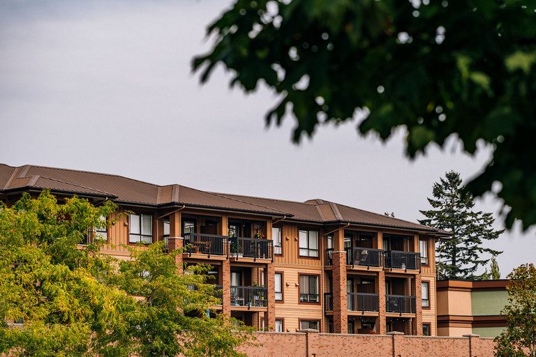
- Residential pockets. Detached and lower-density homes, with creeks nearby. We could not confirm when the whole Derby Hills or Yeomans pocket was built, so check each property’s assessment and permit history rather than assuming one decade.
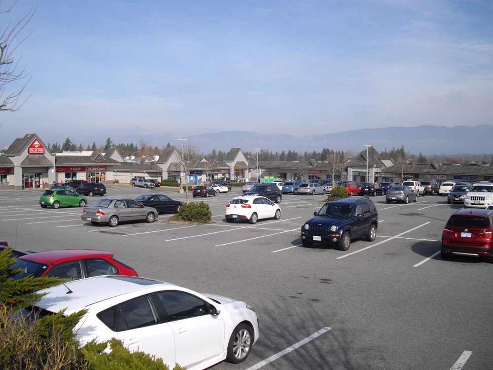
- A small commercial node. The 96 Avenue and 208 Street intersection is a neighbourhood-commercial and heritage spot. It isn’t a town centre, and everyday shopping is mostly to the south. See shops and services.
- Employment land to the west. Warehouse, service-commercial and industrial uses stretch toward the Surrey boundary around 196 to 200 Street and 96 Avenue. One example is a new industrial building at 9494 200 Street (file DP101443), where council issuance passed on September 15, 2025. The Township’s file says it is still active, and we could not confirm construction progress.
That industrial side is a reason to inspect adjoining land-use designations and to visit during business hours, with attention to truck, loading and operating-hour patterns. It is not evidence that every nearby home has a noise problem.
Rail, floods and servicing
Three parcel-level questions deserve answers before you buy here:
- Rail and road noise. The plan explicitly addresses rail noise and vibration at affected development sites. Check how far the lot is from the line and how it is buffered.
- Flood and creek exposure. The Township’s flood-prone map covers the Fraser lowlands and other areas but is dated 2020. The creek corridors here are also conservation areas, and legal public access is a different matter from conservation status.
- Larger-lot servicing. A Walnut Grove listing label doesn’t tell you whether a property is in the Agricultural Land Reserve, on sewer or on septic and a well, or allowed to keep horses. Those are parcel questions for the Township.
The Walnut Grove housing guide has the buyer checklist.
Schools, parks and getting around
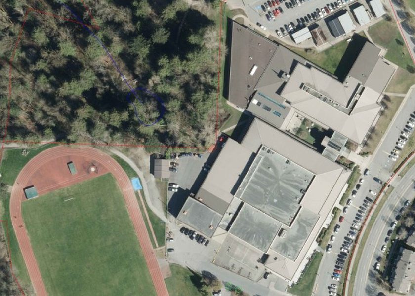
Gordon Greenwood Elementary (9175 206 Street) and West Langley Elementary (9403 212 Street) are the nearby school landmarks, but north-side streets need an address-level catchment check with the district locator. See the schools page.
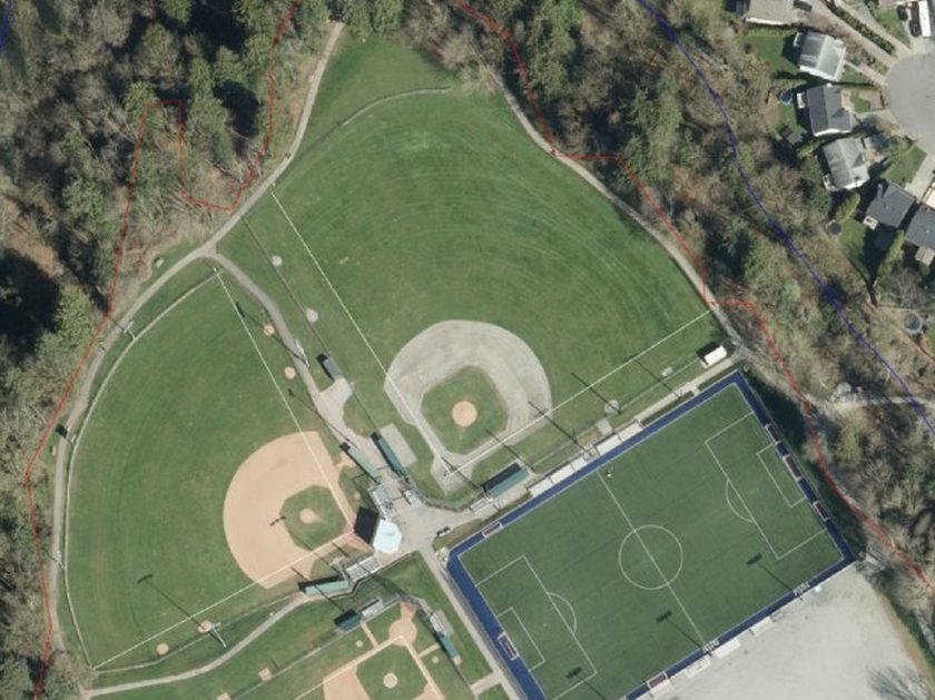
For recreation, Derby Hills Park is local, West Langley Park at 94 Avenue and 208 Street has fields and courts, and Derby Reach Regional Park on the Fraser River is a separate regional destination north of here. The Fort-to-Fort connection near the Salmon River Natural Area is closed until mid-December 2026, so check current notices. More is on the parks page.
The 562 stops around 204 Street and 96 Avenue, and the 501 and 388 use the 96 Avenue and 200 Street corridor on the western side, joining Carvolth. Weekends and evenings are thinner: the 562 is hourly on Sundays and the 388 has no weekend service. Check the getting around page before you rely on a stop.
Truck parking
Northwest Langley is listed as a proposed 2027 phase of the Township’s commercial truck-parking pilot. The pilot currently runs in Gloucester, and the June 2026 decision deferred its expansion. That doesn’t mean unrestricted overnight truck parking is allowed here. Comments go to [email protected], and everyday parking or road-safety issues can be filed through the Township’s Report a Problem page.
Questions people ask about Northwest Langley
Is Northwest Langley part of Walnut Grove?
Is Northwest Langley the same as Port Kells?
What is Derby Hills?
Is it noisy near the industrial land and railway?
Are there flood risks north of 96 Avenue?
Can trucks park overnight in Northwest Langley?
Last checked October 29, 2026. Things change fast in a growing area: confirm anything important (catchments, rents, bus times) with the official source linked. Spotted something out of date? Tell us.