- Where
- Between 88 and 96 Avenue, from Stenberg Brook on the west to the golf-course area on the east, roughly 214 to 220 Street
- Official status
- Has its own Township neighbourhood plan: Walnut Grove Neighbourhood Plan, Redwoods
- Elementary school
- Topham Elementary (K-7), 21555 91 Avenue; 332 students in September 2025 against a plan capacity of 364
- Secondary
- Walnut Grove Secondary, if your address is in its catchment
- Highway
- 216 Street interchange with Highway 1
- Transit
- 562 on 88 Avenue toward Fort Langley and Langley; 509 is a weekday commuter loop only
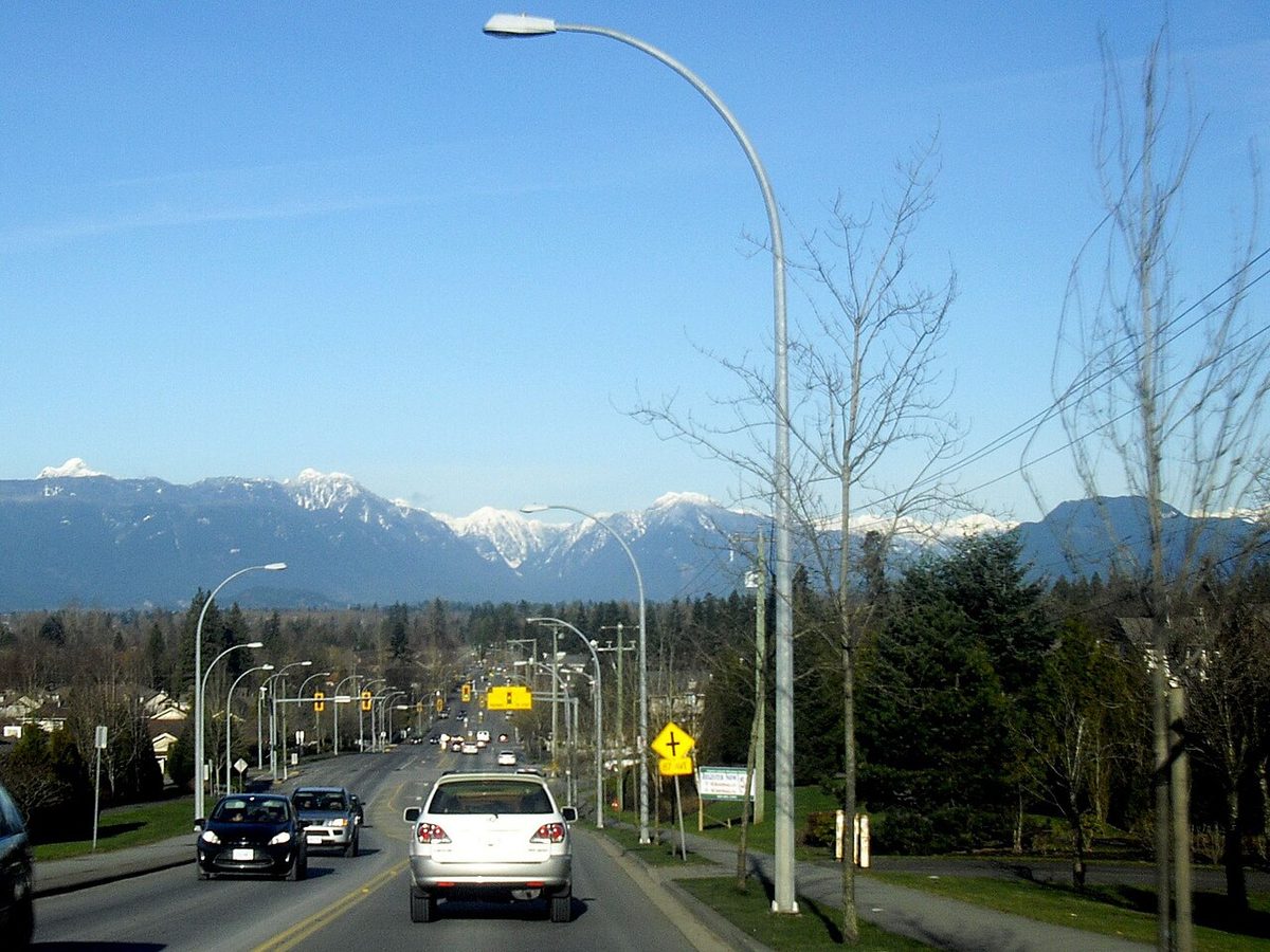
Redwoods is the part of Walnut Grove that most people mean when they say “the east side”: a stretch of streets between 88 and 96 Avenue, running toward Fort Langley, where the grid softens into creeks, forest patches and golf-course edges. It’s the only piece of Walnut Grove with a neighbourhood plan of its own, so it is also the easiest to define, which makes the label more reliable here than in most Langley listings.
What “Redwoods” means on a map
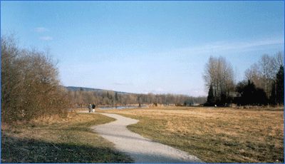
The Township’s Redwoods plan covers the eastern extension of Walnut Grove between 88 and 96 Avenue. Stenberg Brook marks its western side, and the golf-course area marks the east. The plan sets out residential development alongside protected watercourses and open space, which is why the neighbourhood feels greener at its edges than the central blocks around the community centre.
Treat that plan map as the boundary, not the golf course. A listing that says “Redwoods” may be a street or two outside it, and the plan itself is an older document, so check it against the Township’s current community and neighbourhood plan page. For the wider picture of the area, start with the Walnut Grove overview.
Homes
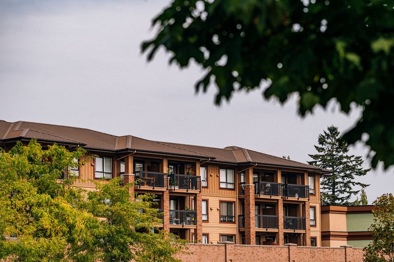
Detached housing is prominent in Redwoods. We could not confirm the exact mix of housing types or a build-year range for the whole plan area, so don’t assume one decade for every street. Newer townhouses exist on the 96 Avenue edge, such as the complex that goes by Redwood Bridge Estates at 21704 96 Avenue, but the name describes one development, not a district.
One application to know about is 12 townhouses at 21588 96 Avenue (file DP101402), which needed a community plan amendment and rezoning. The Township’s file shows it as active, with a public hearing in January 2025. An active file is not an approval or a start date, and our guide to following development applications explains how to watch it.
If you’re looking at a larger or more northern lot near the plan’s edge, ask three parcel-level questions before you offer: is it near Agricultural Land Reserve land, is it on sewer or on septic and a well, and is any part of it in a flood-prone or creek-slope area? Each depends on the property, not the neighbourhood. Our Walnut Grove housing guide has the full buyer checklist.
Schools
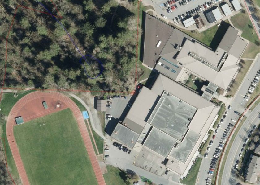
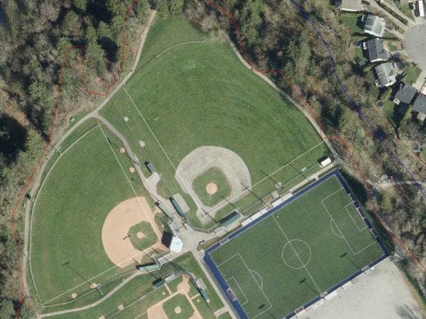
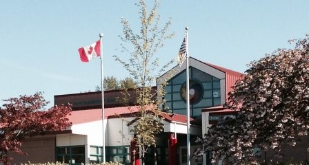
Topham Elementary, at 21555 91 Avenue, is the neighbourhood’s own school: K-7, English program, with 332 students in September 2025 against a plan capacity of 364. The district’s June 2024 plan recorded one portable there. Beside it, Topham Park at 9199 216 Street has the ball fields used by North Langley Diamond Sports. Kids in the Grove runs school-age care at Topham, but a school place doesn’t guarantee a childcare spot.
High school is Walnut Grove Secondary, on Walnut Grove Drive, for addresses in its catchment. Catchments follow the address, not the neighbourhood name, so use the Langley School District locator with your full address. More on enrolment, French immersion and what to ask is on our Walnut Grove schools page.
Parks, trails and the golf course
Hope Redwoods Natural Area, in the 21800 block of 96 Avenue, is the local forest-and-creek escape, with public trails. Use its designated access points, since the creek corridors around here are protected habitat and not every edge is a public path. The Township’s trail map also lists a Redwoods Trail, but the map is a 2015 PDF, so check closures before you rely on it.
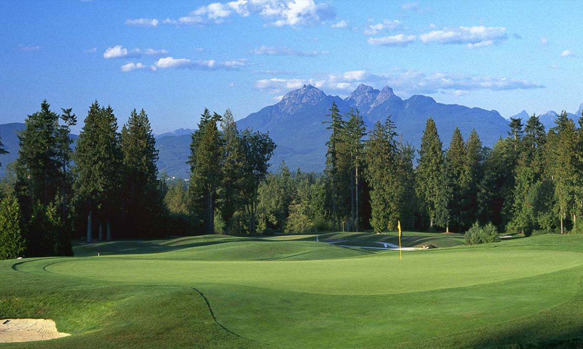
The Redwoods Golf Course, at 22011 88 Avenue, is a public 18-hole course on Township-owned land at the eastern edge, with a resident discount. Our Redwoods Golf Course page has rates and booking rules. Farther north, Derby Reach Regional Park is a short drive toward the Fraser River. See the parks page for the full list.
Getting around
Redwoods’ big transport advantage is the Highway 1 interchange at 216 Street. Its cost is living beside a corridor the Township is redesigning: the 216 Street Complete Street Project covers 88 to 96 Avenue and the 96 Avenue intersection, with phased funding and approvals still pending. The project page still shows a spring and summer 2024 design milestone, which is out of date and does not mean the scheme is built.
On the bus, the 562 runs along 88 Avenue between Carvolth, Walnut Grove, Fort Langley and Langley Centre, about every 20 minutes on weekdays and hourly on Sundays. The 509 serves 216 Street and nearby streets as a weekday commuter loop to Surrey, with no midday or weekend service. For routes, parking rules and drive times, see getting around Walnut Grove.
Eastward, there is no official Walnut Grove neighbourhood called “near Fort Langley” or “Glover Road,” so treat that as an edge comparison. The Township is working on walking, cycling and bus-stop improvements along 88 Avenue toward Glover Road, with construction between Glover Road and Nash Street affecting traffic through January 15, 2027. Do not relabel Fort Langley’s village or its schools as Walnut Grove.
What to check before you move
- Noise and traffic. Visit at rush hour. Houses near Highway 1 and 216 Street can be much busier than streets one block in, and we found no measured street-by-street noise data.
- Creeks and slopes. Stenberg Brook and nearby watercourses are protected. Ask the Township about flood-prone mapping and slope setbacks for the specific lot.
- The catchment. Confirm the elementary and secondary school for the address before you rely on a map distance.
- What’s coming. Look up the 96 Avenue application, 216 Street phasing and the 88 Avenue works on the Township’s pages, not only on a listing.
Questions people ask about Redwoods
Is Redwoods an official neighbourhood name?
Which elementary school serves Redwoods?
Is Redwoods the same as the Redwoods Golf Course area?
What is happening on 216 Street?
Can I walk to Fort Langley from Redwoods?
Last checked October 29, 2026. Things change fast in a growing area: confirm anything important (catchments, rents, bus times) with the official source linked. Spotted something out of date? Tell us.