- Where
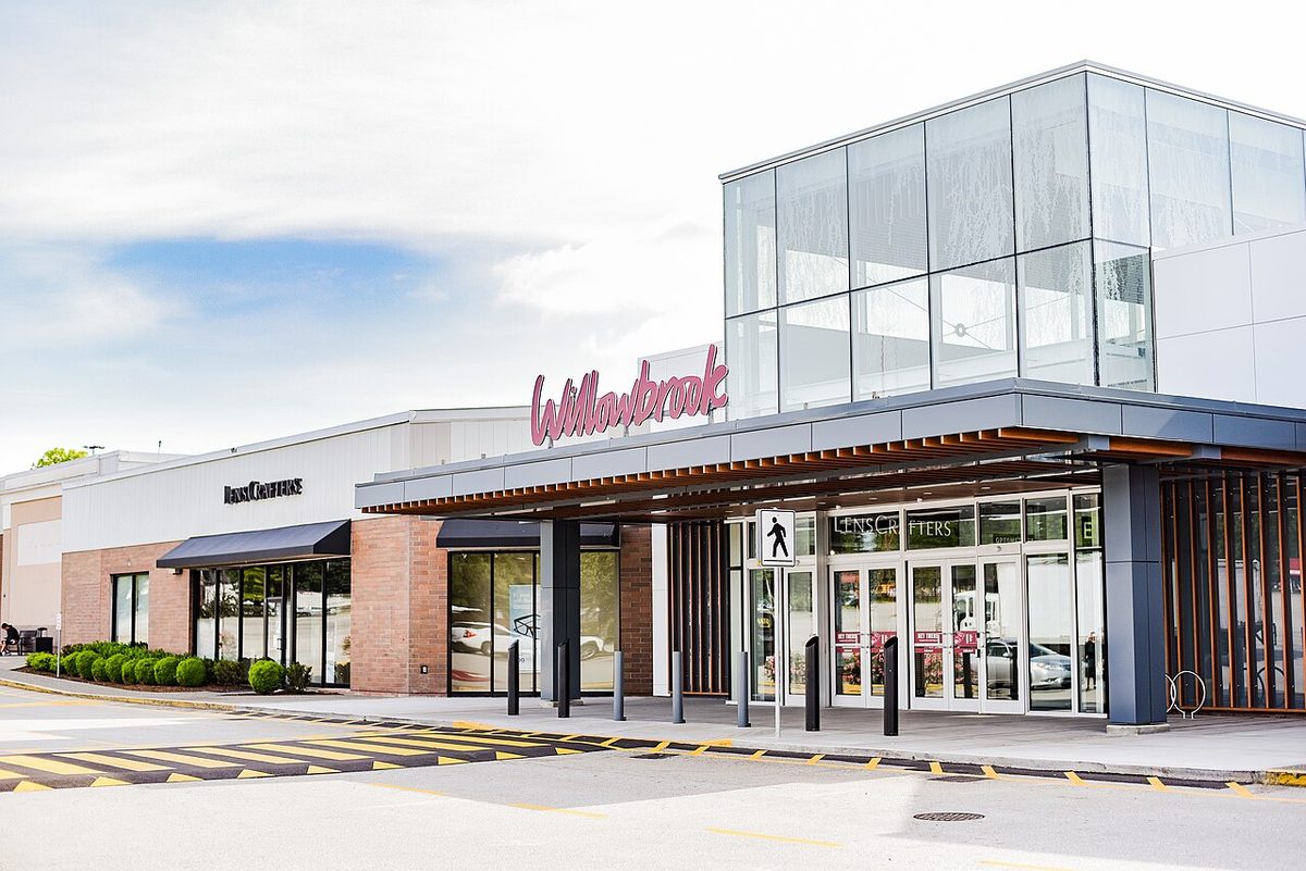
- Between 196 and 200 Streets, from 64 to 68 Avenue, north-west of the Willowbrook shops
- Municipality
- Township of Langley
- School
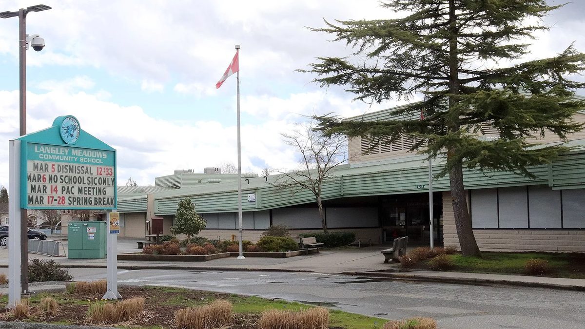
- Langley Meadows Community School, K to 5, 2244 Willoughby Way
- Parks
- Meadows Edge Park, Langley Meadows Park, Willowbrook Park
- Groceries
- Real Canadian Superstore, 19851 Willowbrook Drive
- Residents' group
- Langley Meadows Community Association
Langley Meadows is what most people picture when they say “a regular neighbourhood near the mall”: streets of homes, a school in the middle, trails behind the houses, and a Superstore a short drive (or, from the southern edge, a walk) away. It sits just north-west of Willowbrook’s shops, in the Township of Langley, and it’s the most clearly defined residential pocket in the whole Willowbrook area.
Where is Langley Meadows?
The Township, describing the Langley Meadows Community Association, puts the community between 196 and 200 Streets and 64 and 68 Avenue. The elementary school’s catchment is bigger than that, reaching south towards Fraser Highway and the Bypass. You’re in the Township here; the City of Langley starts further south, and the City-Township line runs through the shopping district just below.
The name isn’t a developer’s brand. The Township’s 1991 Willowbrook community plan already described the Langley Meadows subdivision, and the school’s facilities record dates its opening to 1983. That tells you the area’s era, not the age of every house. We couldn’t find a parcel-by-parcel build-year breakdown, so check each home.
What kinds of homes are there?
The 1991 plan describes a residential subdivision here, so expect established homes rather than a field of new towers. We couldn’t confirm the current mix of detached homes, townhomes and condos, or recent sale prices for this pocket, and we don’t want to guess. For regional price benchmarks and how to research a specific address, see our housing page and the Langley-wide buying a home guide.
Which school serves Langley Meadows?
Langley Meadows Community School, at 2244 Willoughby Way, teaches K to 5 and had about 400 pupils in December 2025. A StrongStart centre for children from birth to five and their caregivers runs there, and the school site hosts an out-of-school care program and an Early Years Centre.
From here, the Township-side route runs to Peter Ewart Middle and R.E. Mountain Secondary. The district’s published information for September 2027 keeps Langley Meadows in that family, even as it moves some Willoughby Slope boundaries. Nearby schools are close to capacity, so ask the office about portables and room for your child’s grade. Our full Willowbrook schools page has the table and the 2027 detail.
Parks and trails
- Meadows Edge Park, 19901 Willoughby Way: a pond, wooded area, playground and trails. The Township’s map shows a trail linking green spaces within the neighbourhood, and dogs must be on a leash on it.
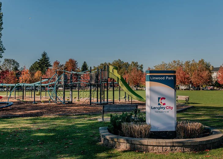
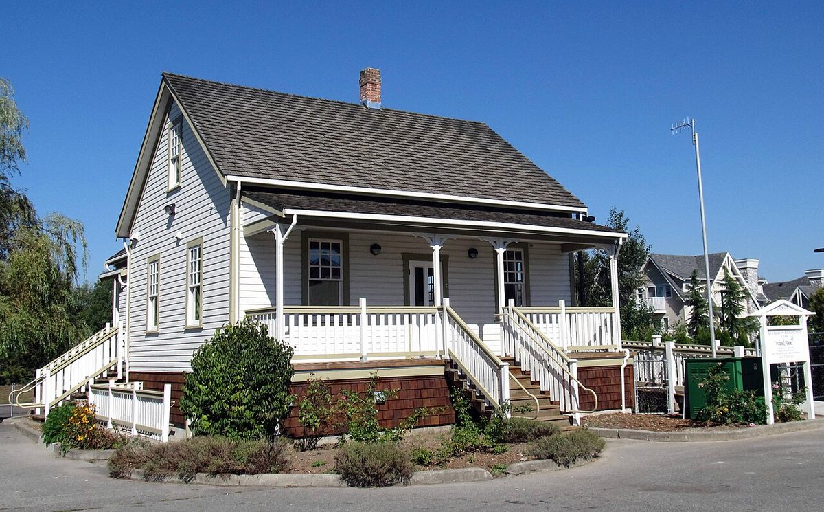
- Langley Meadows Park, 64 Avenue and 198 Street: ball and soccer facilities, tennis and pickleball courts, a playground, paths and parking. The park holds the heritage house below.
- Willowbrook Park, 66 Avenue and 196 Street: a playground, green space and trails.
More in our parks and recreation page.
The 1898 house in the park
Matheson House, at 19893 64 Avenue, dates to 1898 and is on Canada’s Historic Places register. Today it houses a licensed preschool program (Wind and Tide), so enjoy it from the park paths and don’t go inside. For more on Langley’s old buildings, see our heritage sites guide.
Shops, child care and getting around
Homes near the southern edge are close to the Willowbrook Drive stores, including the Real Canadian Superstore at 19851 Willowbrook Drive. Whether that is a walk or a drive depends on your street and the 64 Avenue crossing you use. Licensed child care nearby includes Creative Kids at 19916 64 Avenue (infant/toddler, preschool-age and school-age). Details are on shops and services.
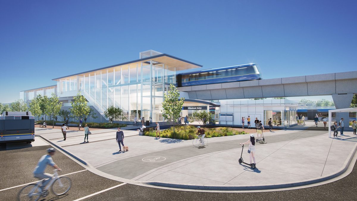
For buses, the 531 runs along 198 Street and 64 Avenue towards White Rock Centre (about every 15 to 22 minutes at weekday peak, 30 minutes off-peak), and the 564 loops from the mall through 64, 66 and 68 Avenue about hourly. The SkyTrain station at 196 Street and Fraser Highway is the neighbourhood’s southern neighbour, targeted for late 2029. See getting around.
Community
The Langley Meadows Community Association took part in Clean Up Langley Day on 18 April 2026, running 9 a.m. to noon, and is the clearest residents’ group in the Willowbrook area we could confirm. We don’t have contact details to publish, so check the school’s community pages or ask the Township.
Things to know before you move
- Boundaries differ. The community, the school catchment and the municipal line are three different lines. Check each for your address.
- Arterials on the edges. 200 Street, 64 Avenue and the Fraser Highway corner carry the traffic. Visit at rush hour.
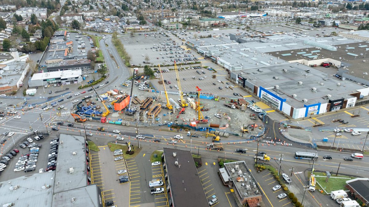
- Construction to the south. SkyTrain work around 196 Street continues, and station-area redevelopment could change the neighbours over time. Our Willowbrook pros and cons page lays out the details.
- Streams and setbacks. Check the Township’s streamside map for your parcel.
Back to the Willowbrook overview. Next door to the north-east is Willoughby, and our Willoughby guide covers its parks and neighbourhood plans.
Questions people ask about Langley Meadows
Where exactly is Langley Meadows?
Is Langley Meadows in the City or the Township?
What school is Langley Meadows in?
Is Langley Meadows good for families?
What is Matheson House?
Last checked October 29, 2026. Things change fast in a growing area: confirm anything important (catchments, rents, bus times) with the official source linked. Spotted something out of date? Tell us.